Family summit victory at Wiedersberger Horn
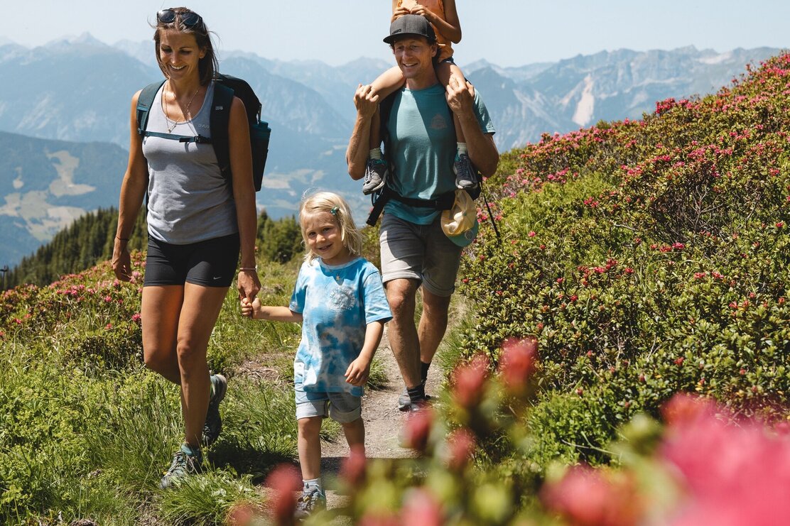
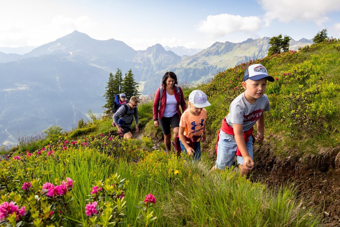
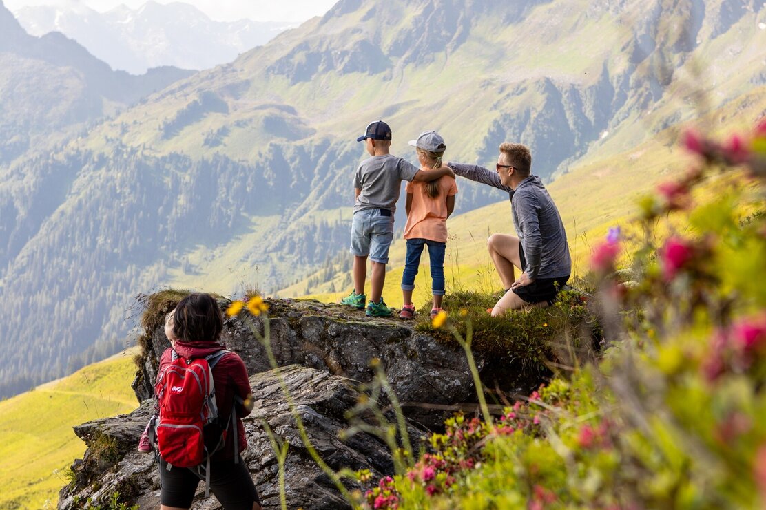
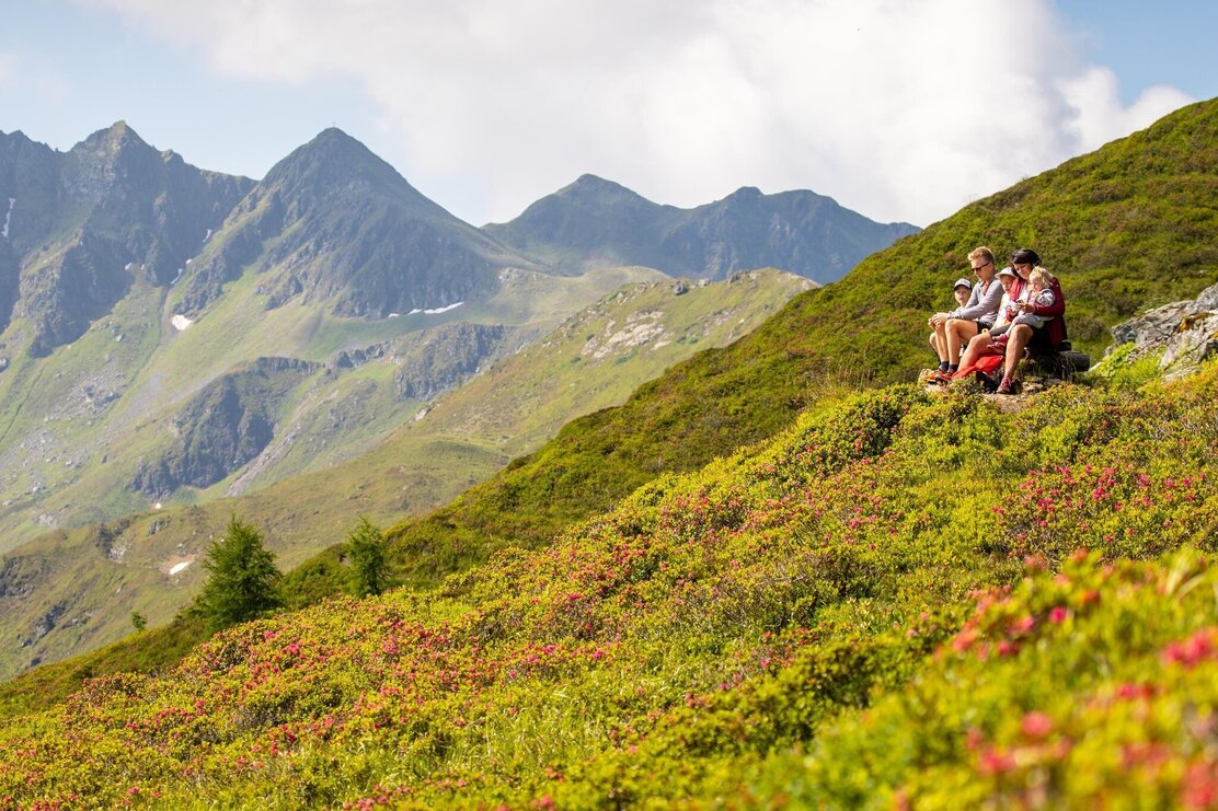
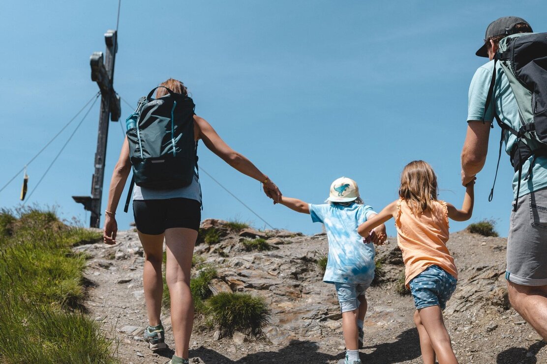
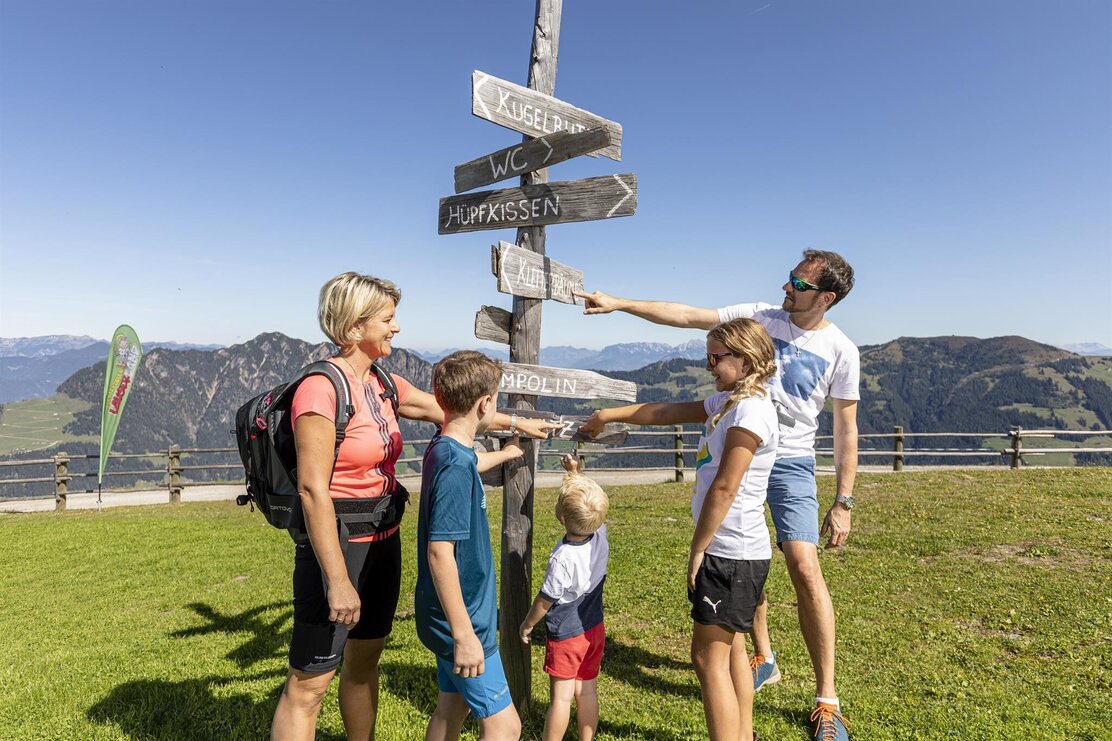
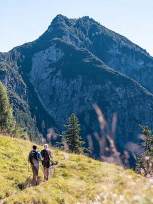
The first 2,000-meter peak with the whole family! Exciting summit hike with a subsequent visit to Lauserland.
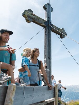
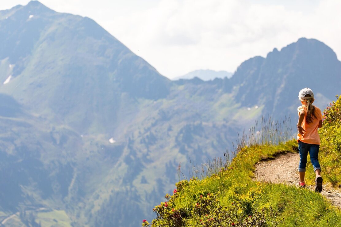
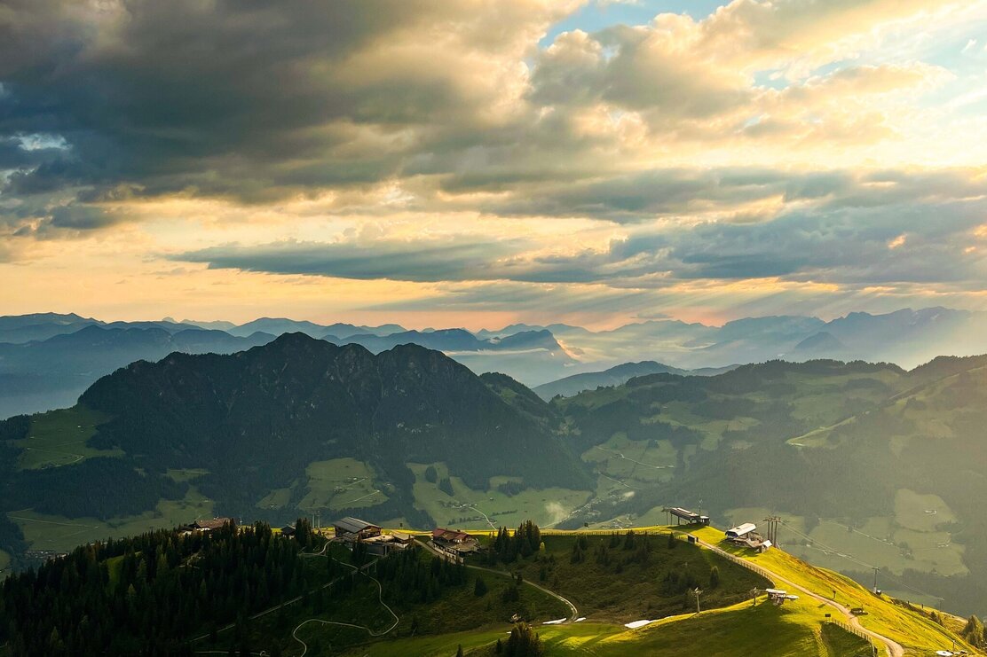
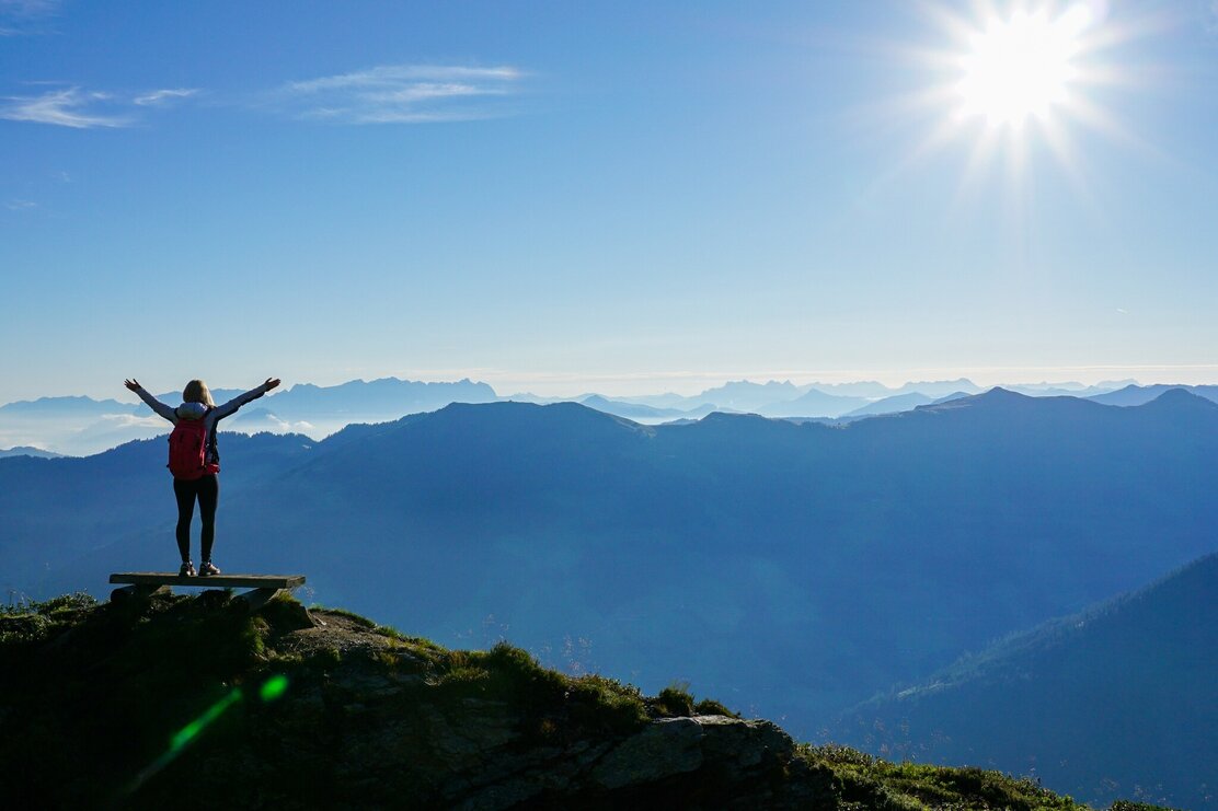
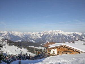
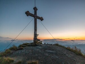
After the comfortable mountain ride with the Wiedersbergerhornbahn, the hike leads first to the summit of Wiedersberger Horn. For this, 300 meters of elevation have to be overcome. For the cable-secured sections near the summit, there are easy bypasses, which are also manageable for smaller children. After about 1 hour, the first goal is reached. The view to the Zillertal Alps, Lake Achensee, the Rofan mountains, the Brandenberg and Kitzbühel Alps as well as the deep view into the Inn valley from Innsbruck to Bavaria is overwhelming!
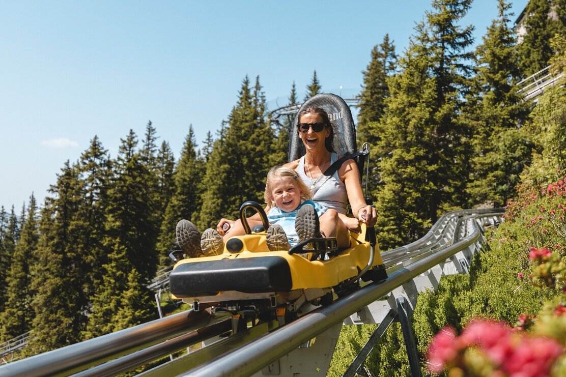
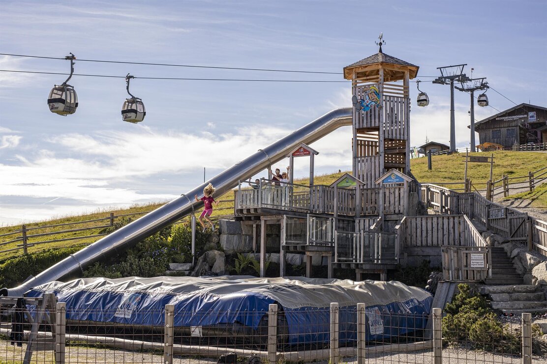
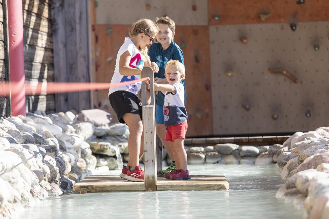
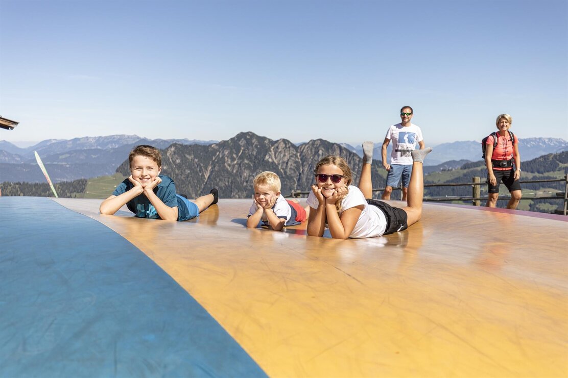
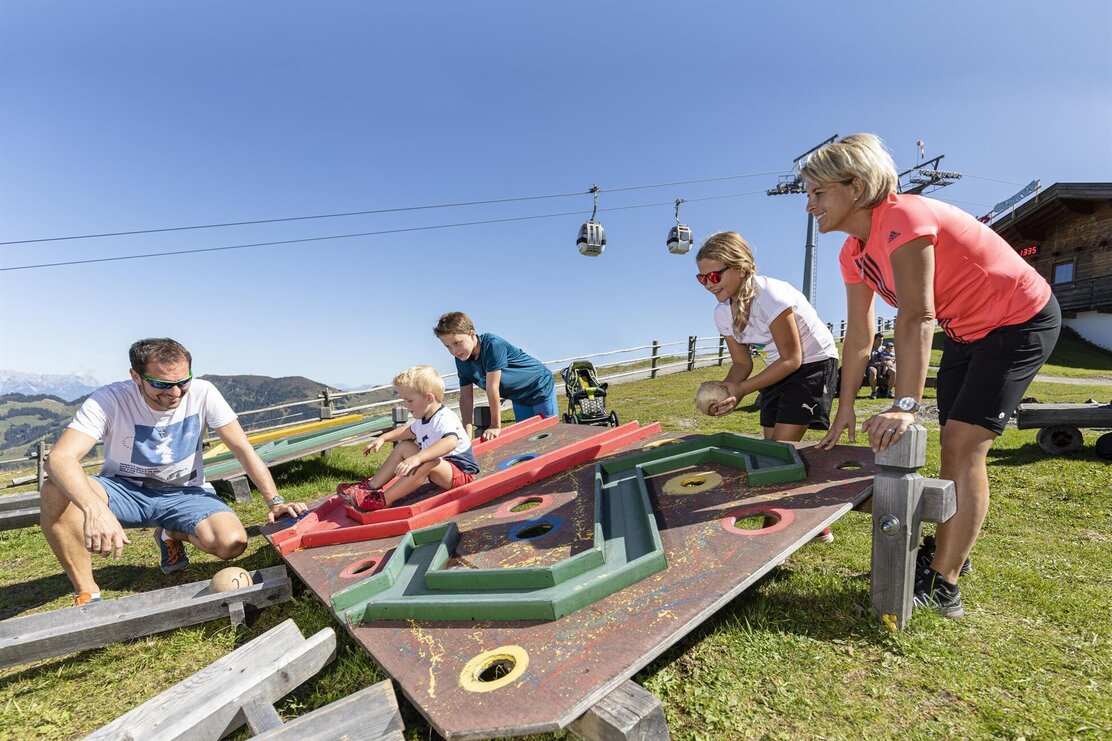
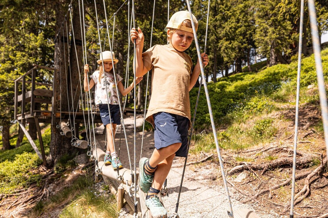
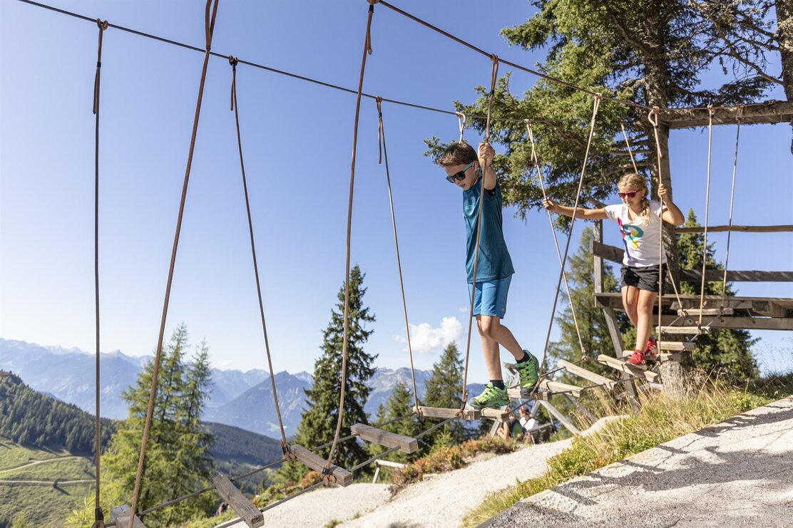
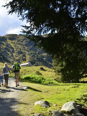
The descent takes place via a short steep section directly to Hornalm. We hike back to the mountain station via the panorama path (A40), either north or south of the summit. For this, another hour (from the summit) should be planned. Back at the mountain station, the children have earned a reward. Lauserland awaits to be explored. A large playground serves to relax and break up the mountain hike. With the alpine coaster "Lauser Sauser" you can enjoy a rapid descent. Furthermore, the Dauerstoaalm and the mountain inn Hornboden offer different dining options.
Those who still have enough stamina afterwards choose the path to the middle station via the pond path. At the second pond there is a nice resting place with a playground. For this route, another approx. 2 hours should be planned. However, this only leads downhill. If the parents and children have already exhausted themselves in Lauserland, you can simply return comfortably with the gondola down to the valley.
Details
| Max. Altitude | 2125 |
| Start | Mountain station Wiedersbergerhornbahn, Alpbach |
| End | Mountain station Wiedersbergerhornbahn, Alpbach |
| Public access | A12 motorway exit Kramsach/Brixlegg, direction Brixlegg, direction Alpbach to Wiedersbergerhornbahn |
| Public transport |
Bus 620, stop: Wiedersbergerhornbahn Alpbach |
| Parking | Wiedersbergerhornbahn Parking fees for Alpbachtal Card holders: payment currently possible in cash or at the ticket office (summer only): 3 hours: €3.00 / all day: €5.00 |
| Equipment | On the ascent to Wiedersberger Horn, some secured passages have to be overcome. If you are uncertain, just choose the bypasses! Sturdy shoes and weather clothing |
