Zireiner Lake via Sonnwendjoch mountain hut
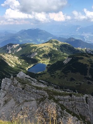
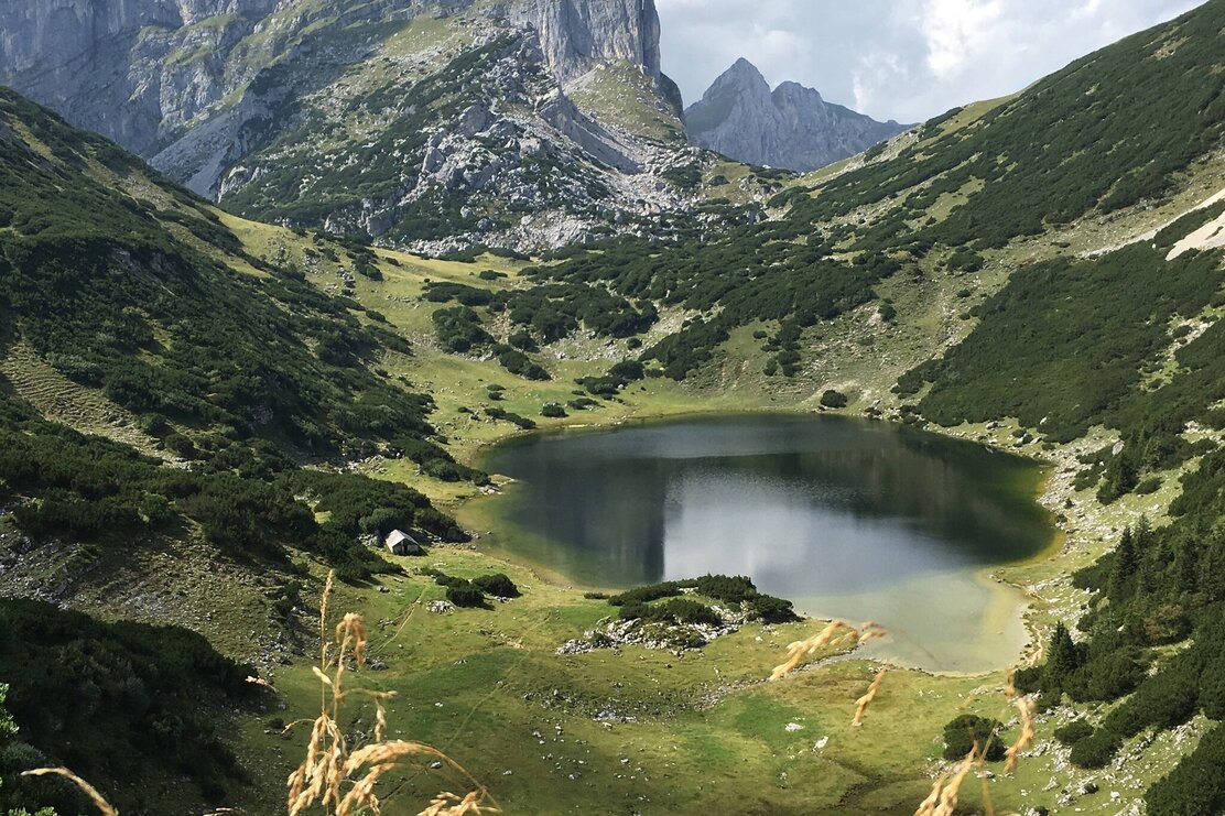
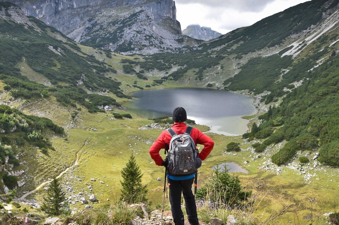
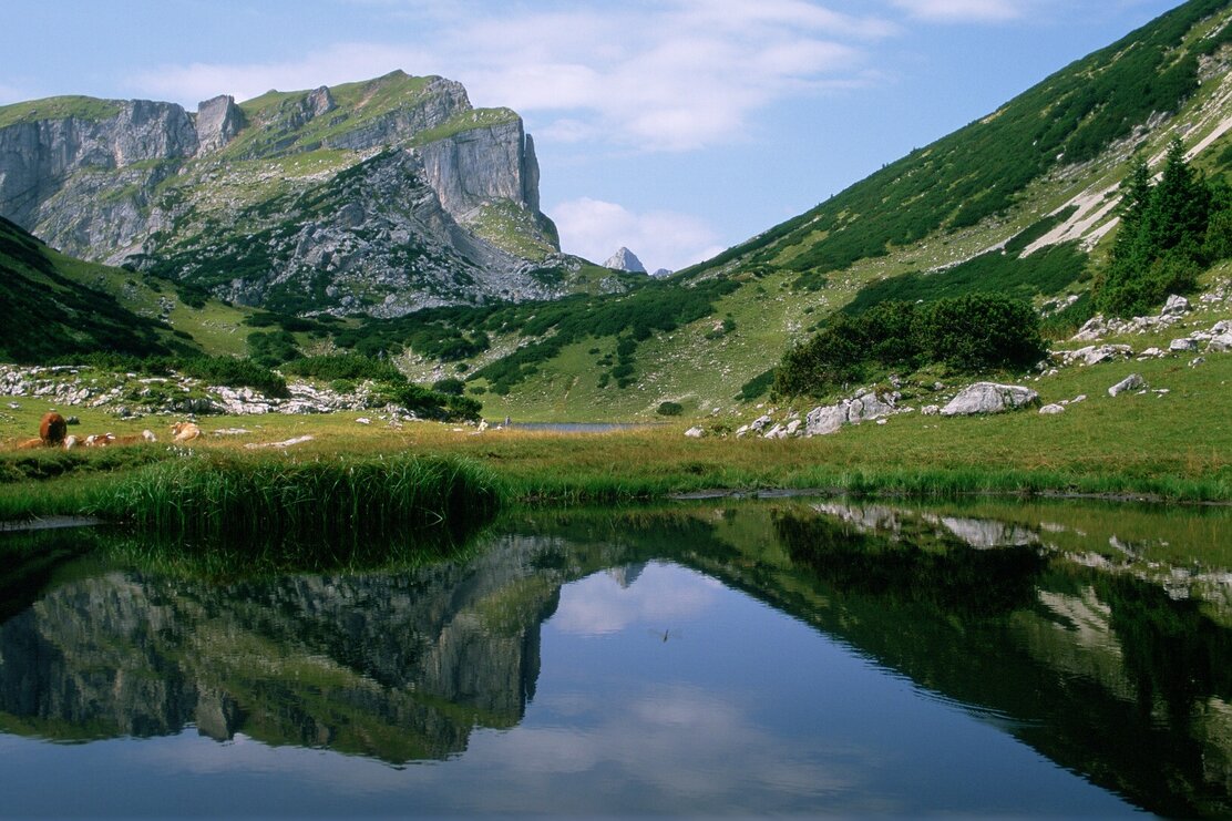
Circular hike to the natural jewel Zireiner Lake
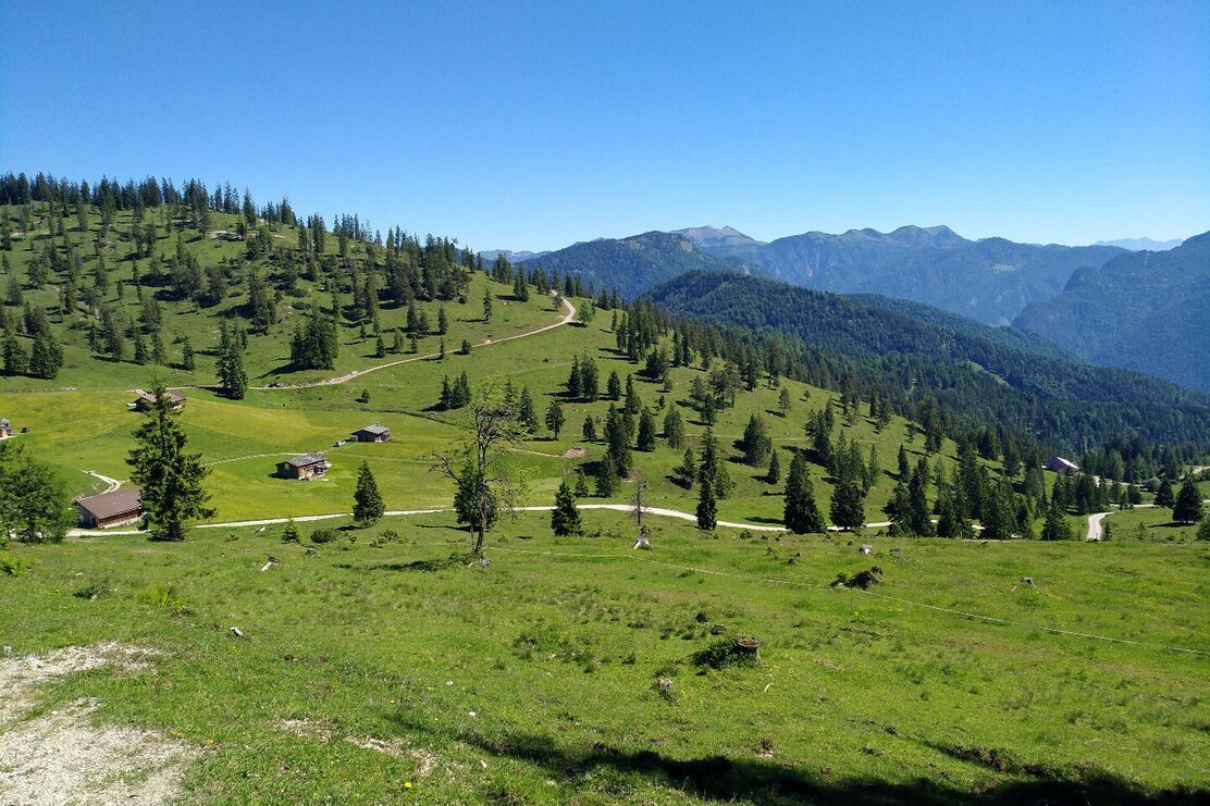
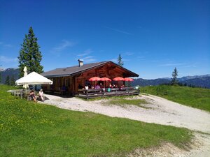
Drive with car via Aschau to Wimm, past the Wimm farm to the barrier - here is the parking lot. The hike then leads partly on forest roads, partly over alpine meadows to the alpine area of Aschau (Eilalm, Labegg and Kreuzein), past the Anderl´s Hut (opportunity to rest 45 minutes from the parking lot). At the Kreuzein high pasture, the path branches uphill to Rosswies. From here it is a short section downhill to the Zireiner Lake. (3 h from parking lot)
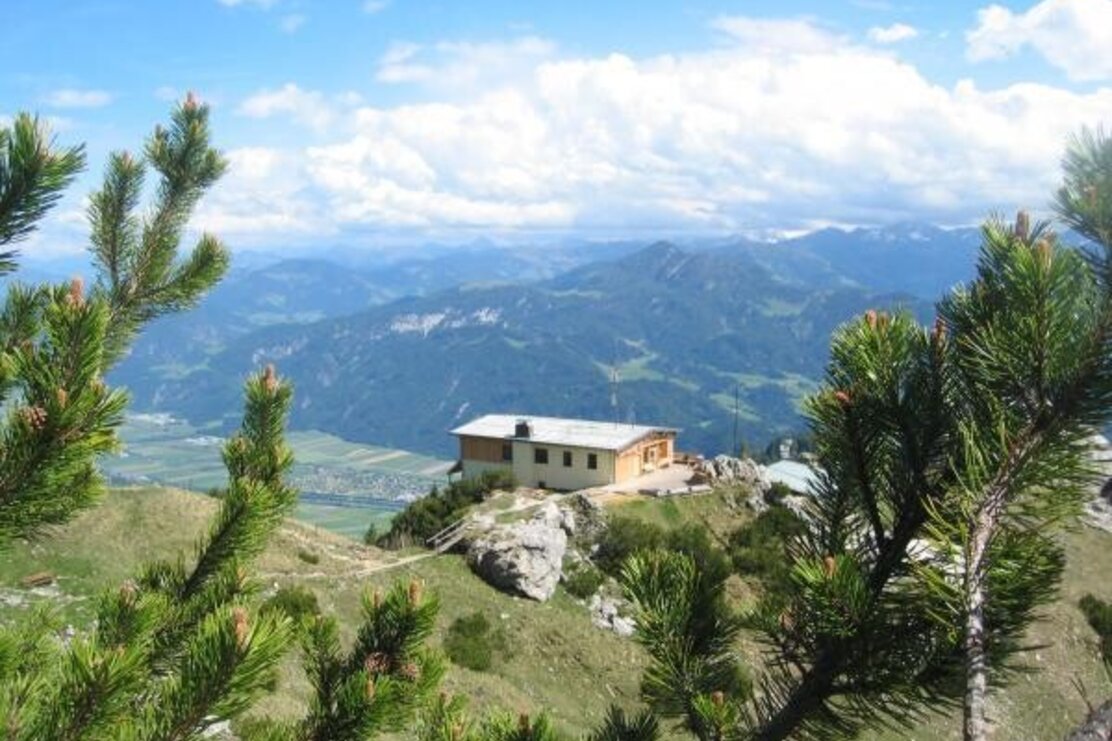
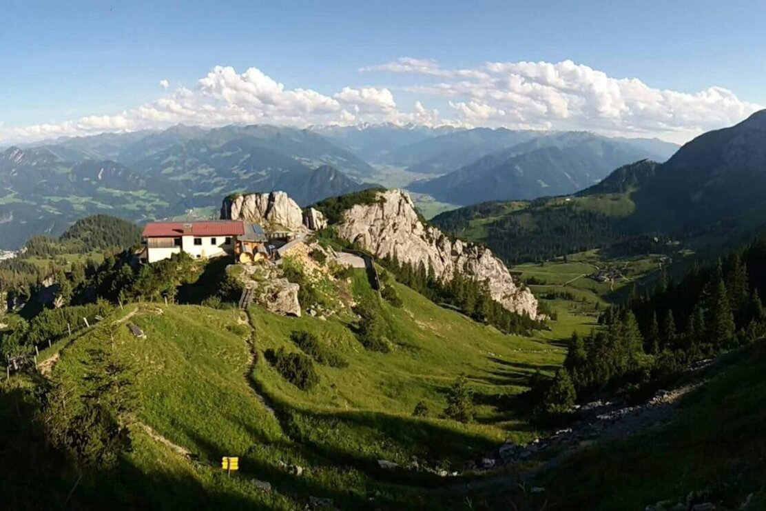
Upon reaching the lake, shortly before the small stall, the "Gappsteig" leads uphill again to Rosswies, then straight ahead to the Rosskogel saddle and somewhat steeper downhill to the Sonnwendjoch mountain hut. (1 h 30 min from Zireiner Lake). From here a beautiful path leads downhill to the high pasture and then with only a few altitude meters up and down over the "Hörndl" to the already known Kreuzein high pasture, now back via the familiar route.
Details
| Max. Altitude | 1901 |
| Start | Brandenberg/Aschau, parking lot after Wimm farmhouse |
| End | Brandenberg/Aschau, parking lot after Wimm farmhouse |
| Public access | A12, Kramsach motorway exit, direction Kramsach, direction former Sonnwendjoch cable car, past the valley station to Aschau, uphill through the village, past the Wimm farmhouse to the barrier |
| Public transport | no public transport access possible |
| Parking | Parking lot after the Wimm farmhouse at the barrier |
| Equipment | sturdy shoes and weatherproof clothing |
