Bike Swing Stage 13: Alpbach - Niederau/Wildschönau
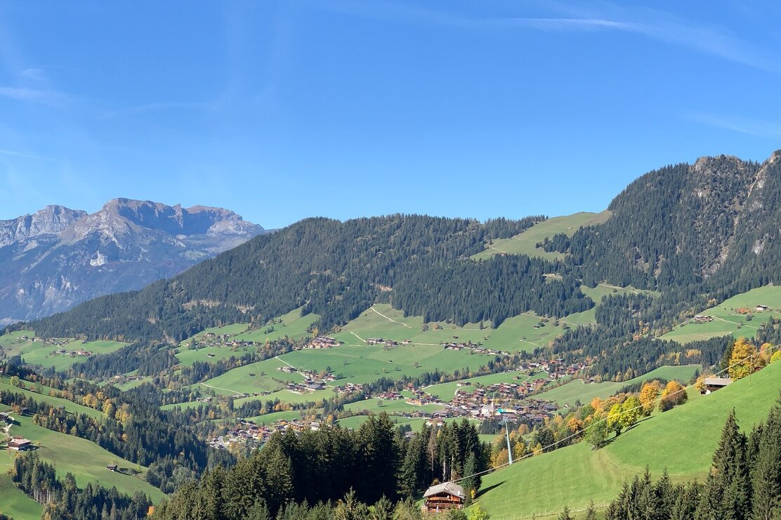
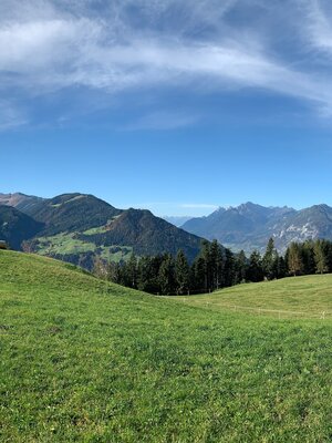
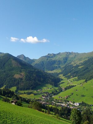
The wonderful panoramic ride above Inneralpbach is an unforgettable experience. Nearly 990 meters of ascent have to be mastered with muscle power on this stage: In return, the almost 1,950 meters of descent are intense – especially the descent from Hornboden on tight hairpin bends to Inneralpbach.
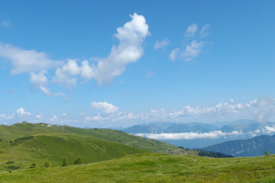
Route description: Take the Wiedersbergerhornbahn up to the Hornboden mountain restaurant. Once at the top, it starts with a short section under the lift line before the trail turns south and the gravel track gently descends to Moserbaumgartenalm (1,603 meters). From there, the path leads to Inneralpbach. Shortly after the first houses, take a slight ascent to the right towards southeast. After the Buam chapel, turn left to a bridge and after the bridge continue north. Here the ascent begins. On asphalt, later gravel, and a short meadow trail, the highest point at about 1,680 meters is reached. Then continue on a small trail, later on a gravel road towards Thierbach. From there, follow the asphalt road into the valley to Mühltal, overcome a small counter-ascent and roll out to Niederau.
Details
| Max. Altitude | 1843 |
| Start | Alpbach |
| End | Niederau |
| Public access | Motorway connection Kramsach - Brixlegg - Reith i. A. - Alpbach |
| Public transport | You can plan your arrival here with Tyrol Transport Association Bicycle transport for up to 5 bikes Bus stop: Alpbach Wiedersbergerhornbahn |
| Parking | Paid parking (cash and card payment possible) Inneralpbach |
| Equipment | Winter closure from November 1 to April 1 of the following year: all MTB routes and cycling paths are closed for safety reasons There is no snow clearance on these paths, and many MTB routes are avalanche-prone. Depending on the snow conditions, some routes may be closed for longer than until April 1. More information about snow conditions at the local tourism office. Helmet, glasses, bike pants, pullover, rain jacket, cap, biker backpack, drinking bottles, map, first aid kit, mobile phone, camera, lock, spare tube, multi-tool, pump, patch kit, tape, sunscreen, muesli bars, snack, ... |
