Road Cycling
Difficulty: difficult

Road bike 05 Five-Lakes Tour

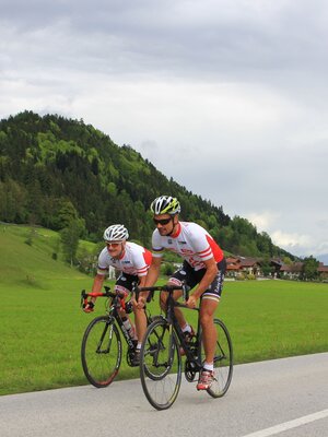
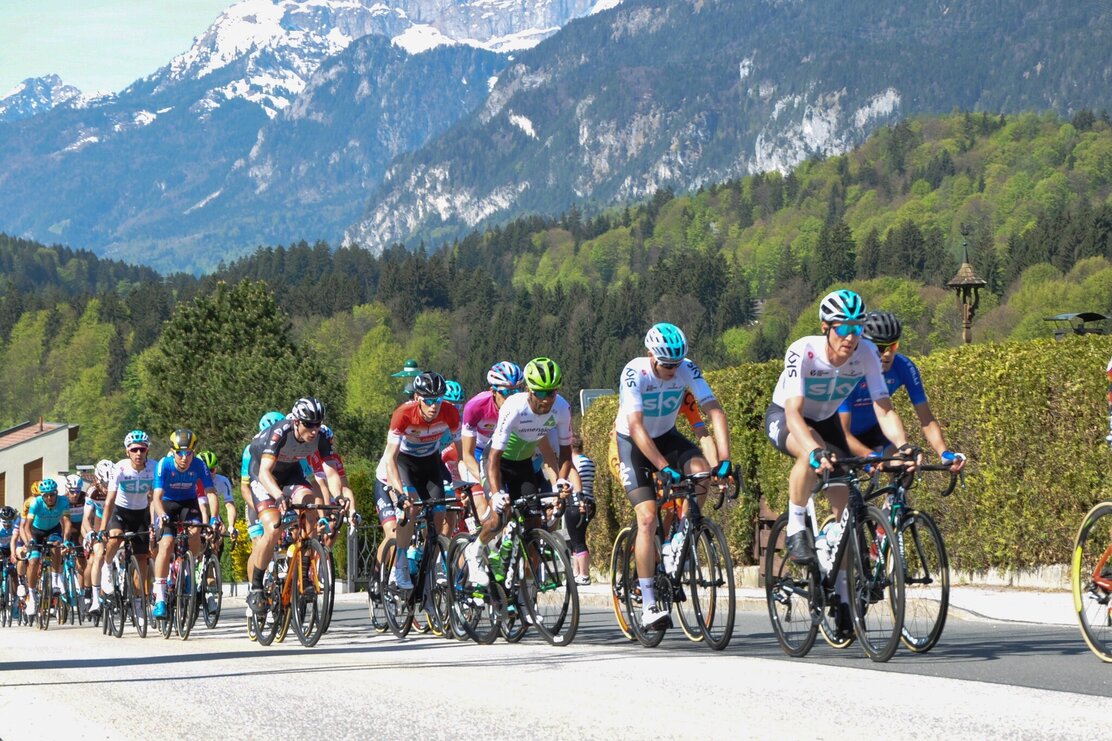
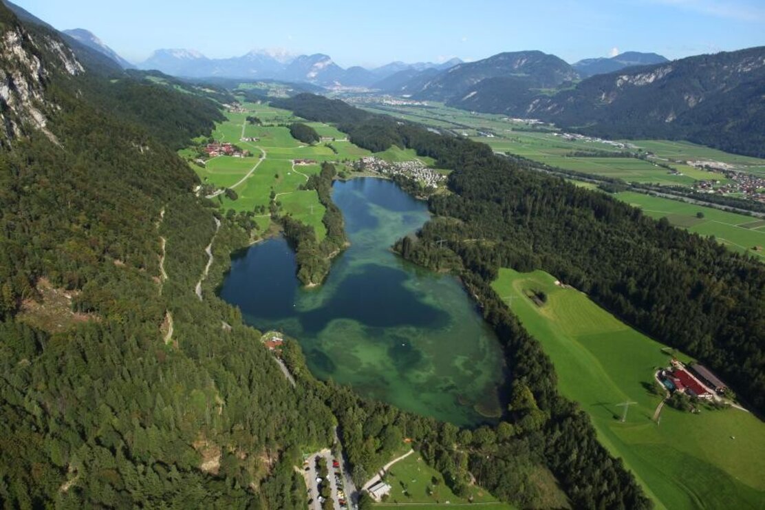
Beautiful and varied day tour to neighbouring Bavaria with gorgeous views and exhilaring decents.

Length 152.87 km
Duration 7:00 h
Altitude
1700 hm
1700 hm

TVB Tour 11 – 5 Seen Runde

  • Distance 153 km
  • Elevation gain 1750 m
  • Gradient max. 12 %
  • Best time early Summer – late autumn
  • Grading Hard

Additional information
Bike & mountain bike shops
Safety guidelines
Right-hand traffic in practice. Please obey the highway code, road safety and vehicle rules. Please bear this in mind you'll be sharing roads with traffic.
Directions

Rattenberg –Reintaler See - Kufstein – Thiersee – Bayrischzell – Spitzingsee – Tegernsee – Achensee – Wiesing - Rattenberg

  • 0 Km (from the start) start Rattenberg, Notburga fountain cycle towards Kramsach, turn left and cross the bridge over the Inn River 2,1 km to Kramsach
  • 2,1 Half-right Kramsach Achenrain 8,8 km along the L 211 to Breitenbach
  • 10,9 straight Breitenbach, roundabout 2nd exit after 460 m turn right and follow the L 211 for 5,8 km
  • 17,2 left Angerberg, turn-off continue along the L 211 towards Mariastein and Niederbreitenbach
  • 23,0 left Niederbreitenbach, L 211 turn-off continue along the road for 3,6 km, turn left at the fork in Unterlangkampfen
  • 26,6 left Schaftenau, L 211 turn-off continue to Kufstein/Zell
  • 31,3 left Kufstein/Zell, B 171 turn-off after 300 m at the roundabout take the 2nd exit after 100 m turn left onto the L 37 6,1 km to Thiersee
  • 37,8 right Thiersee 18,2 km along the L 37 (St 2075) to Bayrischzell
  • 56 left Bayrischzell, B 307 turn-off 10,3 km to Miesbach 66,3 left Neuhaus, St 2077 turn-off 5,4 km to Spitzingsee
  • 71,7 half-left Spitzingsee, turn-off turn half-left at the fork onto the Valepper Straße continue along the road for 5,1 km
  • 76,8 right Turn-off to Rottach-Egern 13,9 km along the Valepper Straße to Rottach-Egern
  • 90,7 left Rottach-Egern, B 307 / B 181 turn-off 27,3 im over the Achen Pass to Achenkirch
  • 118 right Achenkirch, B 181 turn-off 4,8 km to Achenkirch at Achenkirch Süd half-right after 380 m half-left over a small bridge continue along the Seeuferstraße for 8,4 km
  • 131,6 half-right Maurach, B 181 turn-off after 1,1 km on the B 181 turn right after 900 m take the 2nd exit at the roundabout after 400 m turn left onto the Ebener Straße 1,5 km to Eben
  • 135,5 half-right Eben, B 181 turn-off 7,5 km to Wiesing take the 3rd exit at the roundabout to Kramsach 8,0 km to Kramsach take the 1st exit at the roundabout Rattenberg take the 3rd exit at the next roundabout after 270 m turn left to Rattenberg
  • 152 finish Rattenberg

Author

Manuel Hufnagel


Round trip
Rest stop
Details
Max. Altitude 1127
Start Rattenberg, town main square fountain
End Rattenberg, town main square fountain
Public access

Leave the motorway at the Kramsach/Alpbachtal exit, turn left towards Brixlegg/Rattenberg. Take the third roundabaout exit. Rattenbergs car parks are to the left and right after 400m (partly free of charge).

- or by bike https://radrouting.tirol/

Public transport

Public Transport Services

Train station nearby

Parking By train to Rattenberg train station, by car to one of the parking areas in Rattenberg (east or west).
Equipment

Helmet, sun glasses, gloves, rain proof clothing, bike outfit, first aid kit, replacement inner tube, tire lever, bike pump or cartridge, mobile phone, cash, bank card, drinking bottle, energy gel or bar, cap or bandana, leg and arm warmers.

In any case - equipment should be adapted to the time of year.

44333598_2066473893.jpg | © Mauro Cugola 44333598_2066473893.jpg | © Mauro Cugola
  • 44333604_1412790228.jpg | © Bernhard Berger 44333604_1412790228.jpg | © Bernhard Berger
  • 37134929_721640073.jpg | © Lukas Bauhofer 37134929_721640073.jpg | © Lukas Bauhofer
  • 35343709_1104910138.jpg 35343709_1104910138.jpg
01 03
There's more!

Similar tours