3-peak-tour Kienberg-Plessenberg-Heuberg
Varied hike in the Brandenberg Alps with several nature highlights
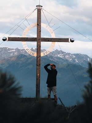
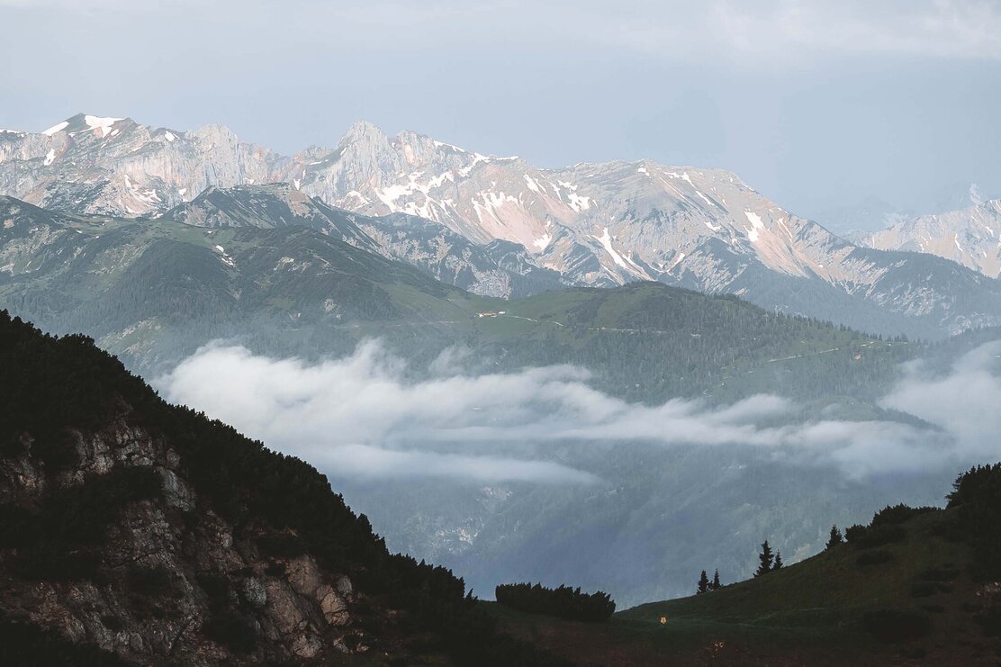
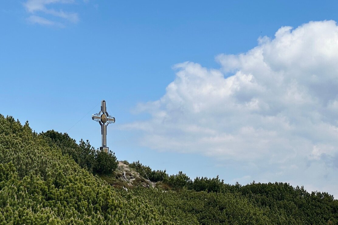
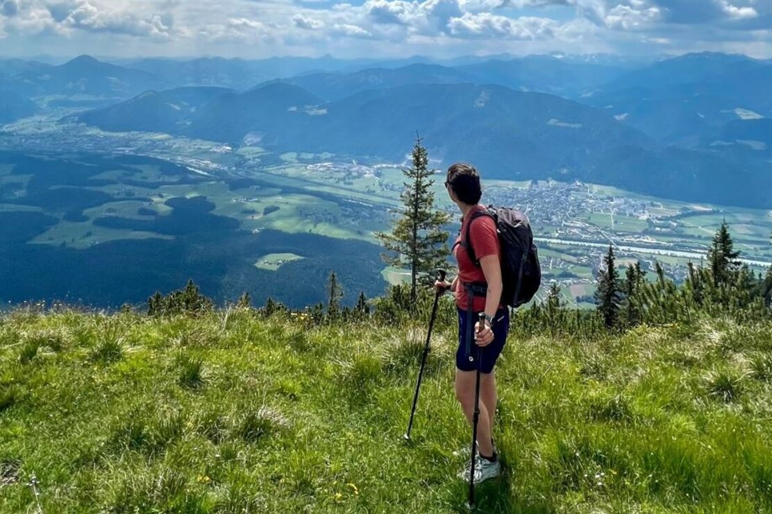
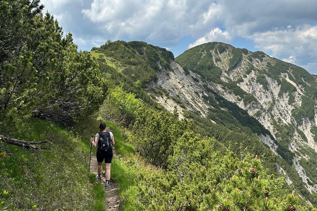
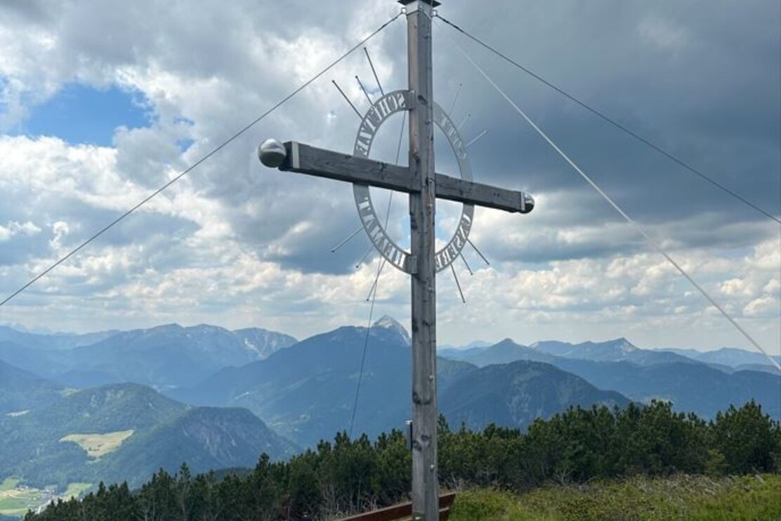
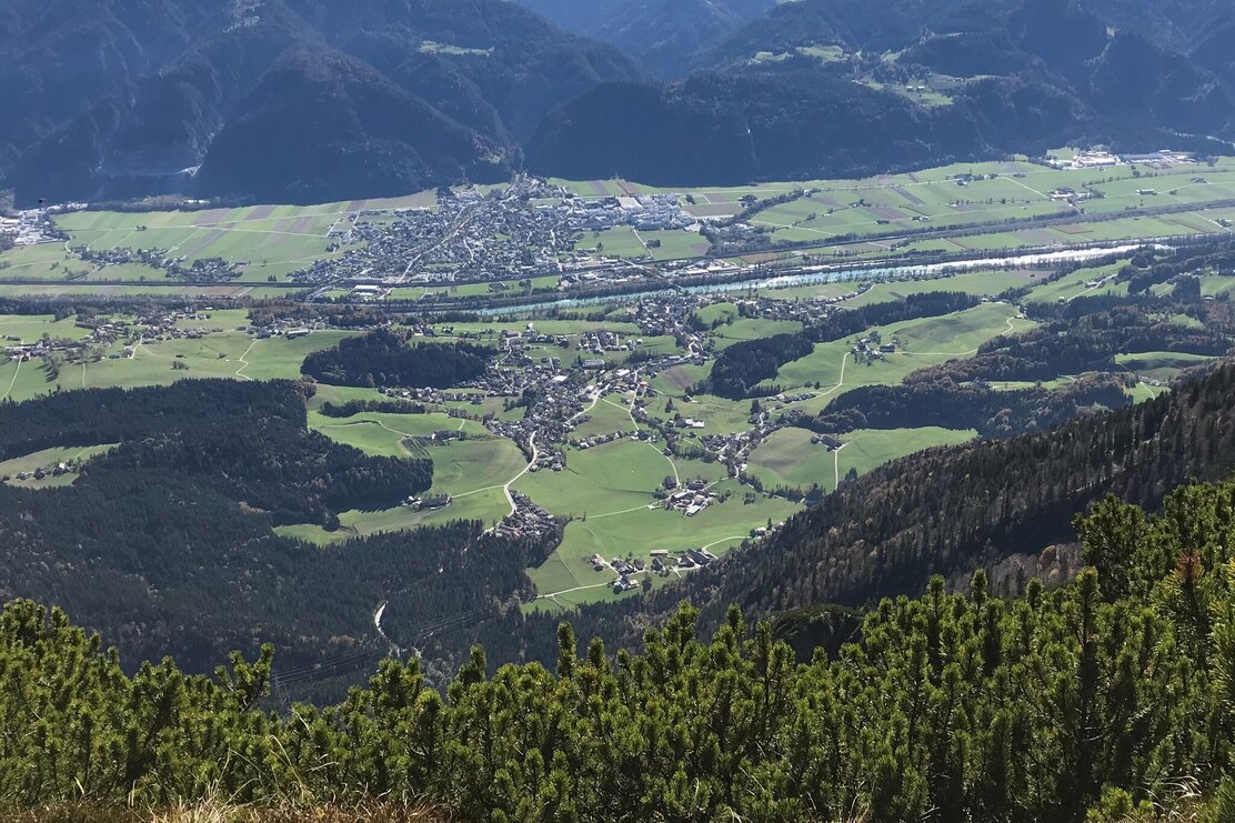
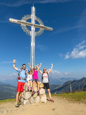
The descent follows the same path until the first fork below the summit. There, you'll turn left and follow the ridge path towards Plessenberg, which involves only a slight difference in altitude. From the summit cross of Plessenberg, you also have a fantastic view of the Inntal valley and the mountains of the Kitzbühel and Zillertal Alps, all the way to the High Tauern with the Großglockner and Großvenediger.
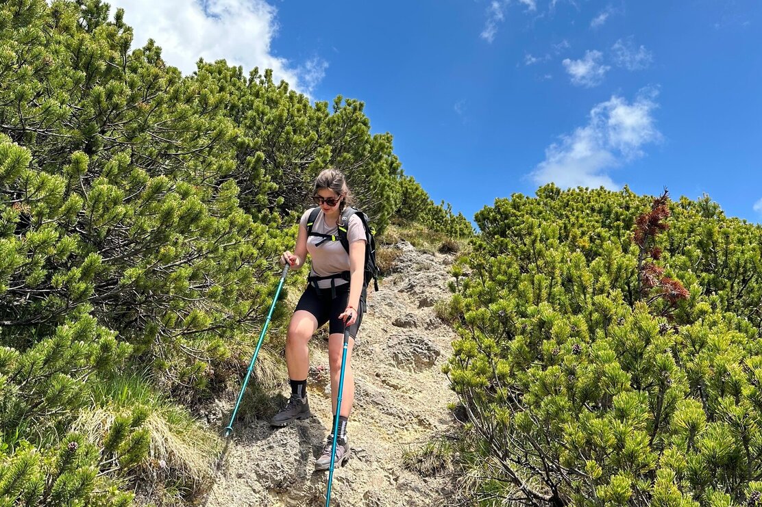
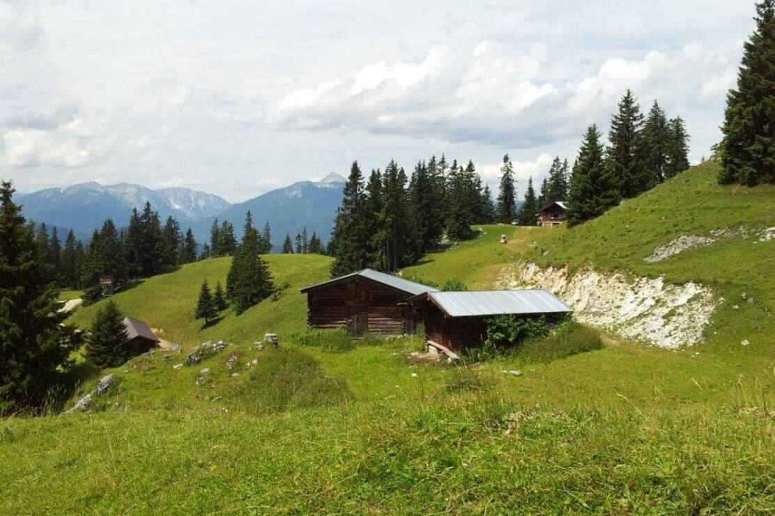
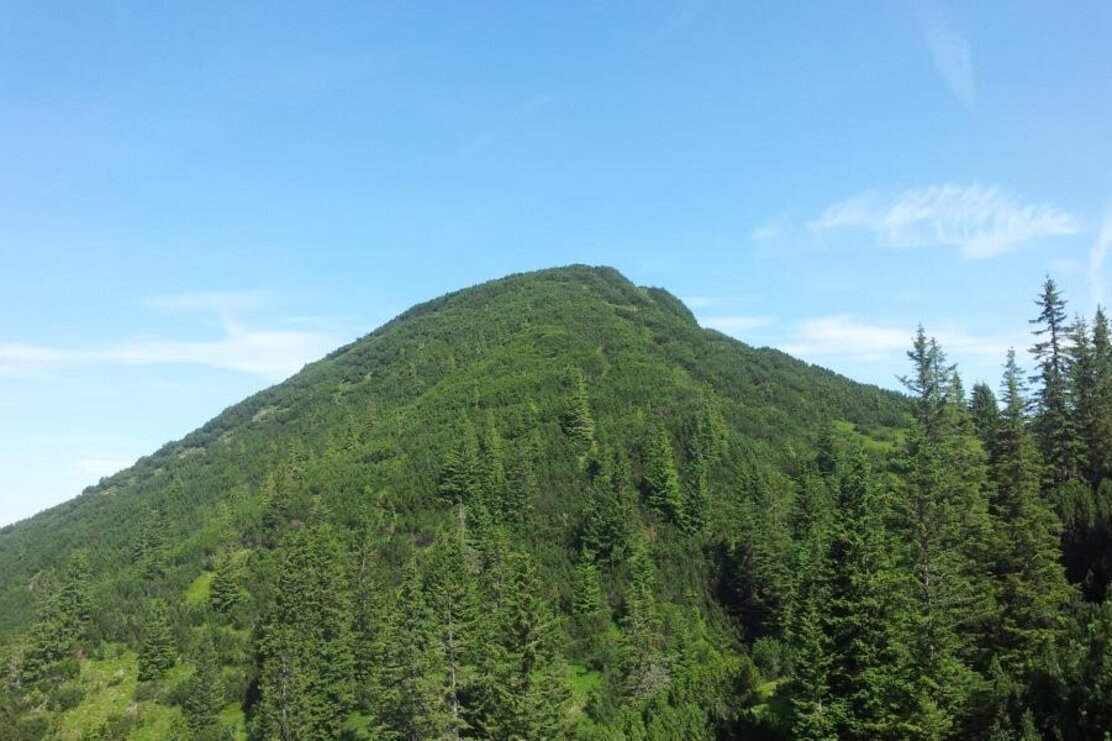
You'll return along the same path until just below the summit, then briefly ascend at the saddle (be sure-footed here!) towards Heuberg. From here, you'll walk straight ahead along the ridge down to Jocheralm. For the return journey, you can either take the same path or leisurely hike back to the starting point via the forest road.
This tour not only offers spectacular views but also a good mix of challenge and relaxation.
Refreshment:
There are no opportunities for refreshment throughout the entire tour. So, be sure to bring enough water to drink and snacks for sustenance! In the valley in Brandenberg, you can stop by Hotel Neuwirt or Gasthof Ascherwirt to unwind and reflect on the day.
Details
| Max. Altitude | 1785 |
| Start | Brandenberg/Winkel Pumphaus car park |
| End | Brandenberg/Winkel Pumphaus car park |
| Public access | A12, motorway exit Kramsach, towards Kramsach, lakes (sign: Zu den Seen), towards Brandenberg, through the village to the Winkel hamlet. At the former Gasthof Kink uphill to the Pumphaus / Joch car park. |
| Public transport | not accessible by public transport |
| Parking | Pumphaus/Joch car park in Brandenberg Winkel hamlet |
| Equipment | Please note; the path leading to Heuberg demands surefootedness and a head for heights! The Heuberg can be easily bypassed by staying on the path up to the Kienberg cross section. Instead of walking through the meadow turn left and walk along the ridge to the Jocheralm. Sturdy shoes and surefootedness required. |
