Ridge hike to Standkopf 2,241 m
2-summit route in a high alpine landscape with great views
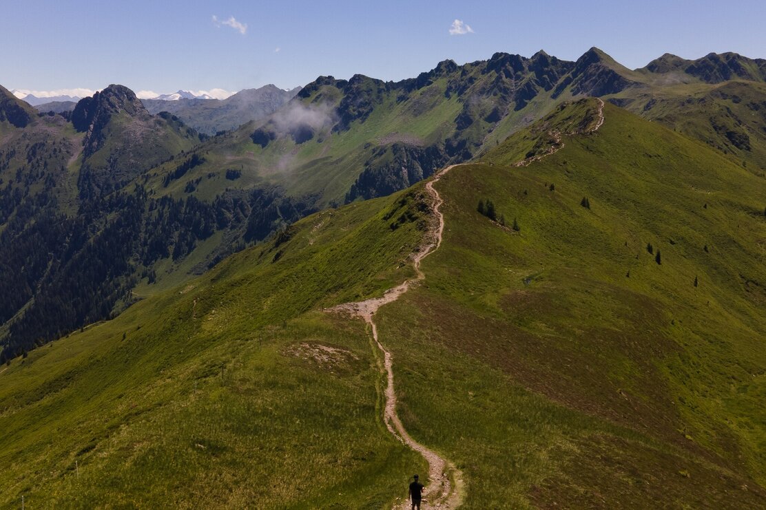
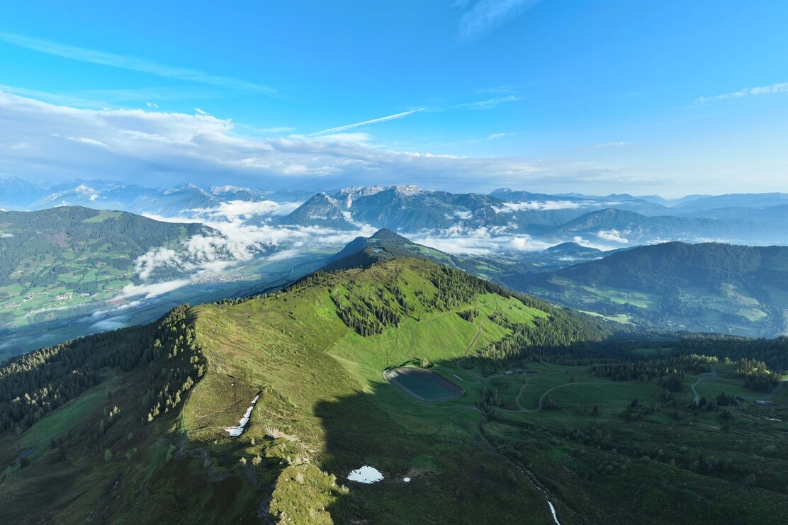
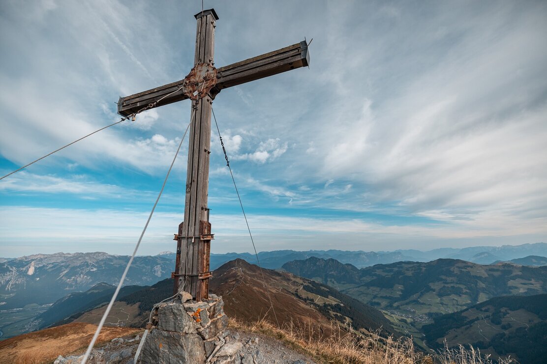
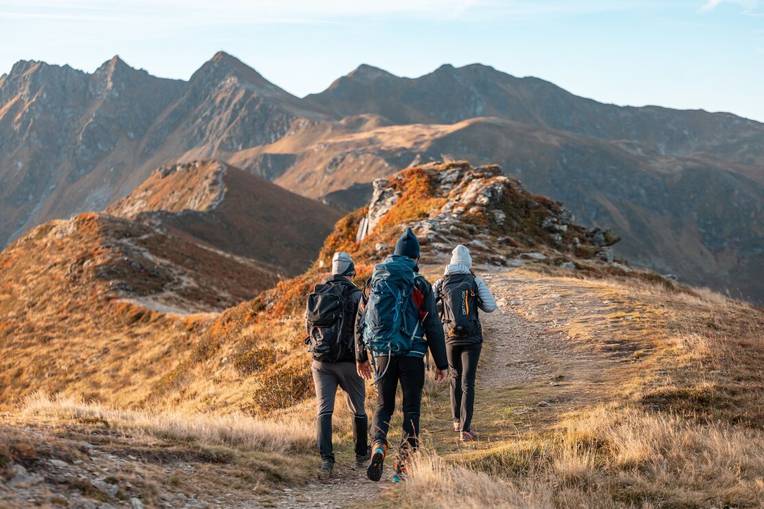
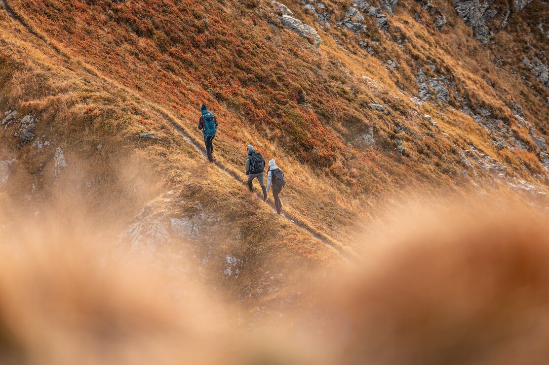
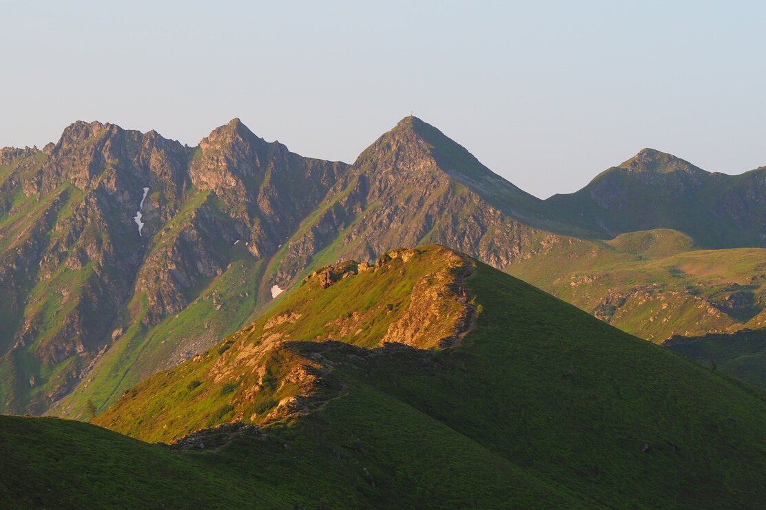
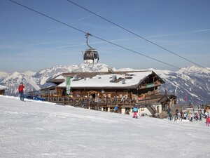
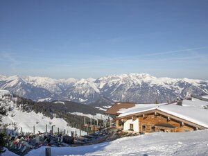
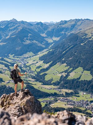
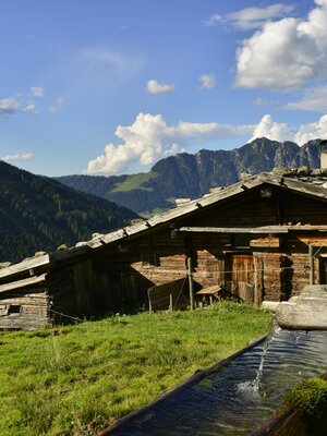
Ascent with the Wiedersberghornbahn. From the mountain station, the hike first leads along the panoramic trail on the Alpbach side, gently ascending to the Hornalm (approx. 1 hour). Then continue southwards along the ridge with no significant elevation change towards the "Sagtaler". Just before the destination, there is another short ascent to "Standkopf" 2,241 m (approx. 2 h 30 min from the mountain station).
Return the same way to the Hornalm, from here then 30 min steeply upwards to the Wiedersberger Horn 2,128 m and then descend the last 300 m down to the mountain station.
Alternatively, you can hike back from the Hornalm on the other side of the panoramic trail, thereby omitting the summit of the Wiedersberger Horn. (45 min from the Hornalm).
Descent with the Wiedersbergerhornbahn - please observe operating times!
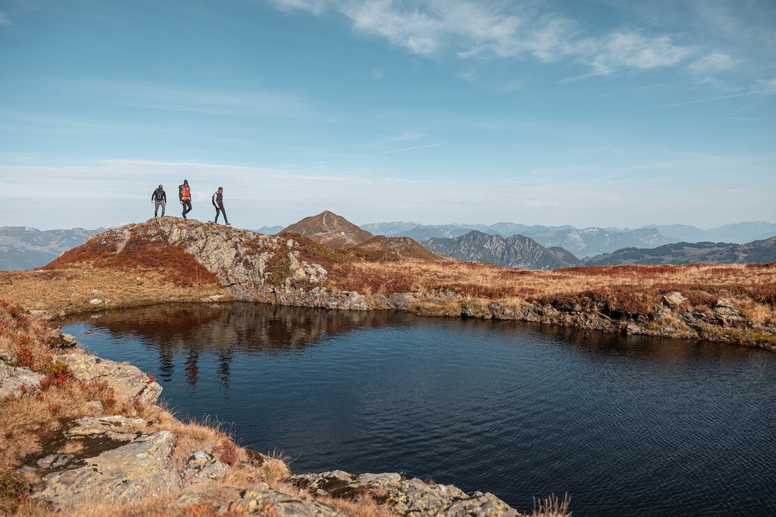
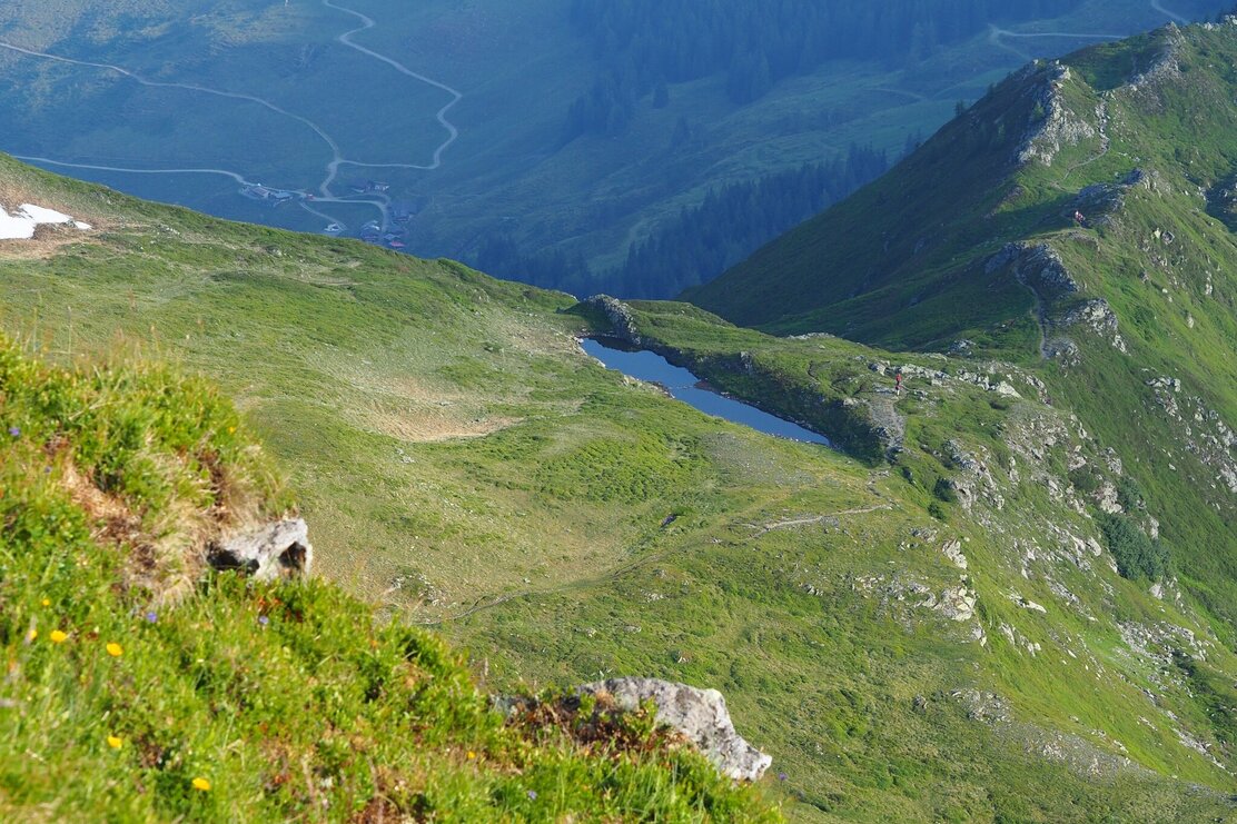
Tip:Below the Standkopf is a wonderful mountain lake that invites you to linger!
Details
| Max. Altitude | 2241 |
| Start | Mountain station Wiedersbergerhornbahn, Alpbach |
| End | Mountain station Wiedersbergerhornbahn, Alpbach |
| Public access | A12, motorway exit Kramsach/Brixlegg, direction Brixlegg, direction Alpbachtal, valley station Wiedersbergerhornbahn |
| Public transport | www.vvt.at/ Line: 620/Stop: Wiedersbergerhornbahn |
| Parking | Valley station Wiedersbergerhornbahn; chargeable for Alpbachtal Card holders (currently only cash or payment at the ticket counter possible). |
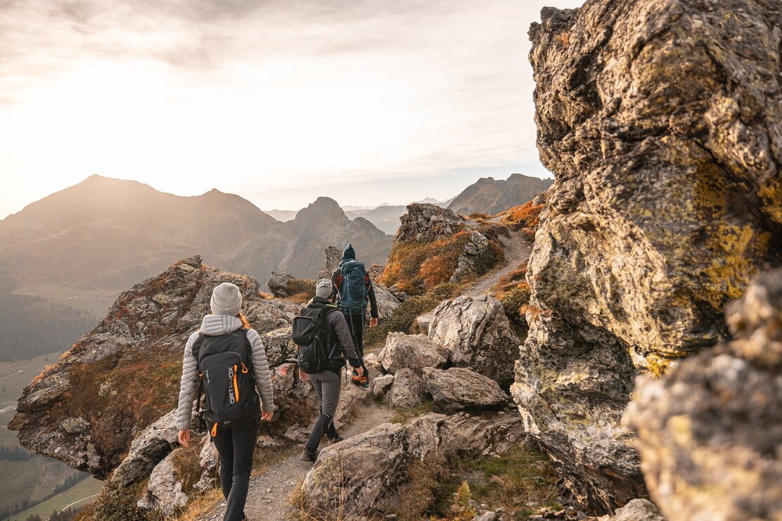
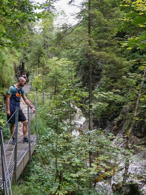
| Equipment | The mountain tour from Standkopf continuing over the "Sagtaler" (Tappenkopf, Gamskopf, Farmkehralm, Inneralpbach) is really recommended only for very experienced hikers. This mountain tour is "BLACK" - many exposed sections, iron ladders and cable protections. sturdy shoes and weather clothing |


