Walking and hiking tours
Difficulty: medium
Alpine pasture hike Anderl's Alm hut
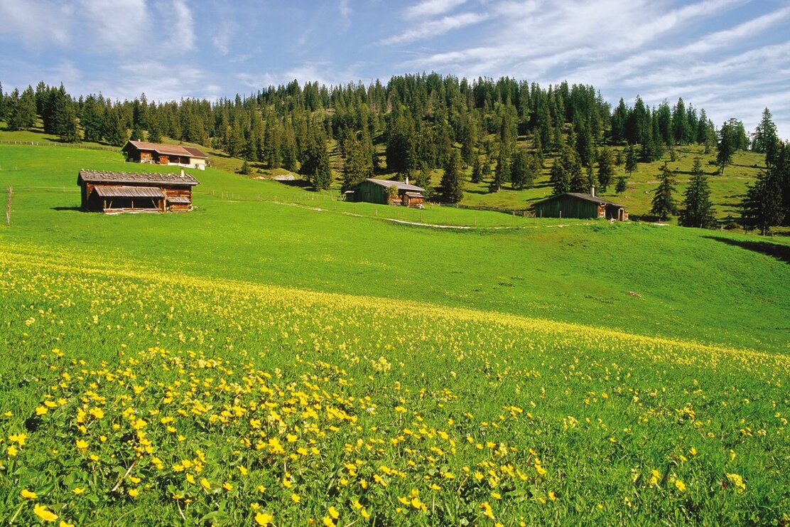
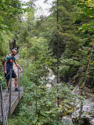
Comfortable circular hike with impressive panorama, paths through forest and pasture, and resting opportunities in the beautiful alpine pasture area.
Length
7.65 km
Duration
2:30 h
Altitude
356 hm
356 hm
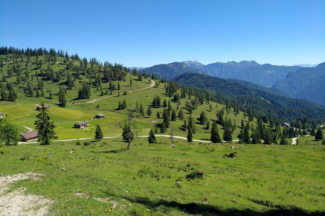
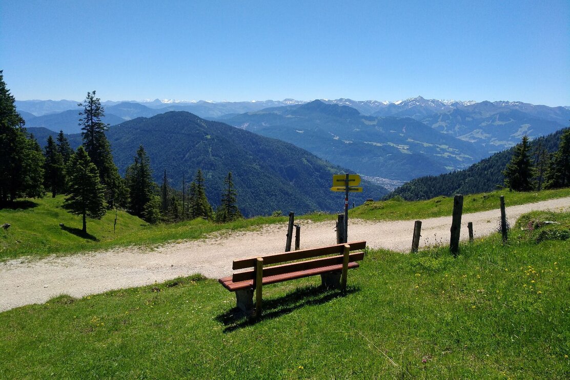
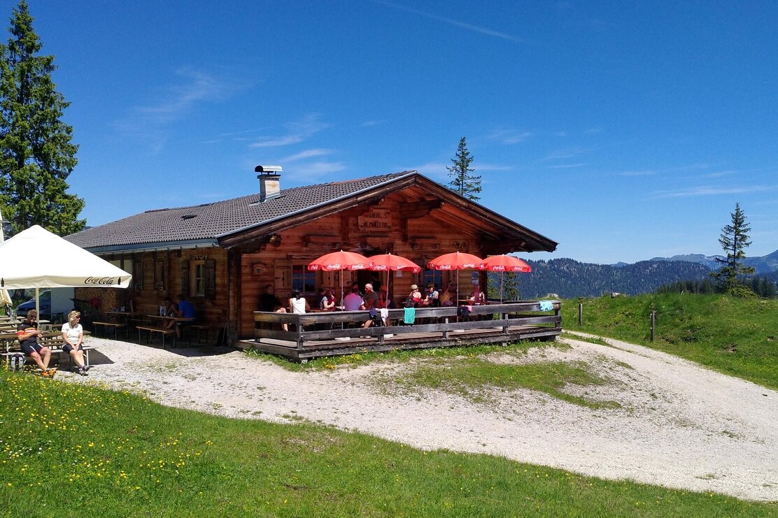
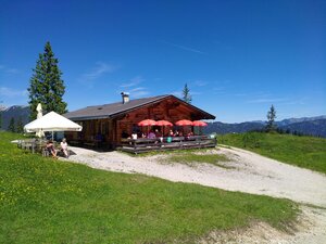
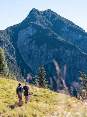
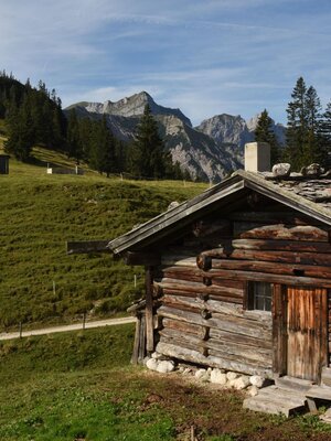
The alpine pasture hike starts directly at the Wimm farm in Brandenberg (district Aschau). The circular hike leads right over a forest path about 150 meters ascent comfortably towards Wimmerjoch / Wimmeralm uphill. As a reward for the first climb, an impressive panorama awaits you of the Guffert amid the Brandenberg Alps. Shortly after the Wimmeralm, the circular route continues towards Eilalm. From there, you reach the dining option Anderl's Alm hut via a forest road.
Total walking time to the hut approx. 1.5 hours.
Return is straightforward downhill on forest path 411 back to the parking lot.
Round trip
Rest stop
Start in the valley
Details
| Max. Altitude | 1530 |
| Start | Parking lot Wimm, Brandenberg |
| End | Parking lot Wimm, Brandenberg |
| Public access | A12, Kramsach motorway exit, direction Kramsach, direction former Sonnwendjoch cable car, past the valley station to Aschau, uphill through the village, continue to the Wimm farmhouse. |
| Public transport | not possible |
| Parking | fee-based parking lot after the Wimm farmhouse (currently €3.00 - status 2021) |
| Equipment | Sturdy shoes and weatherproof clothing |

Tips for you
Good to know
There's more!
