Crossing the Sagtalerspitzen
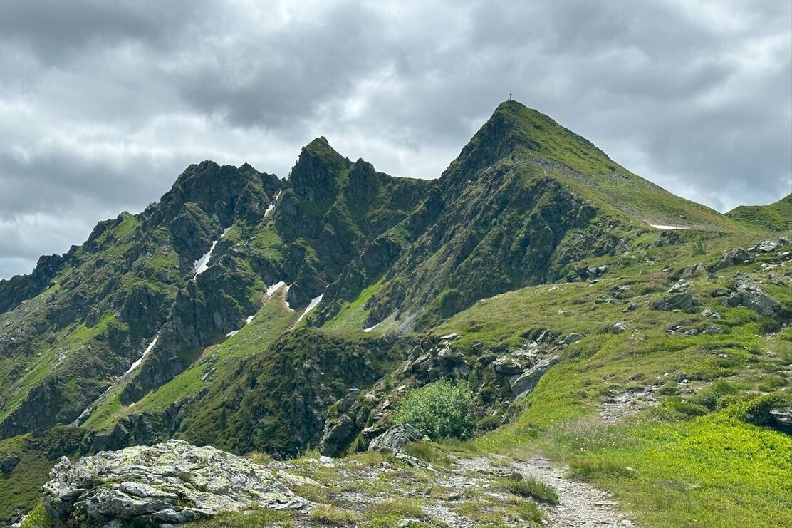
Challenging tour along the formidable Sagtaler Spitzen
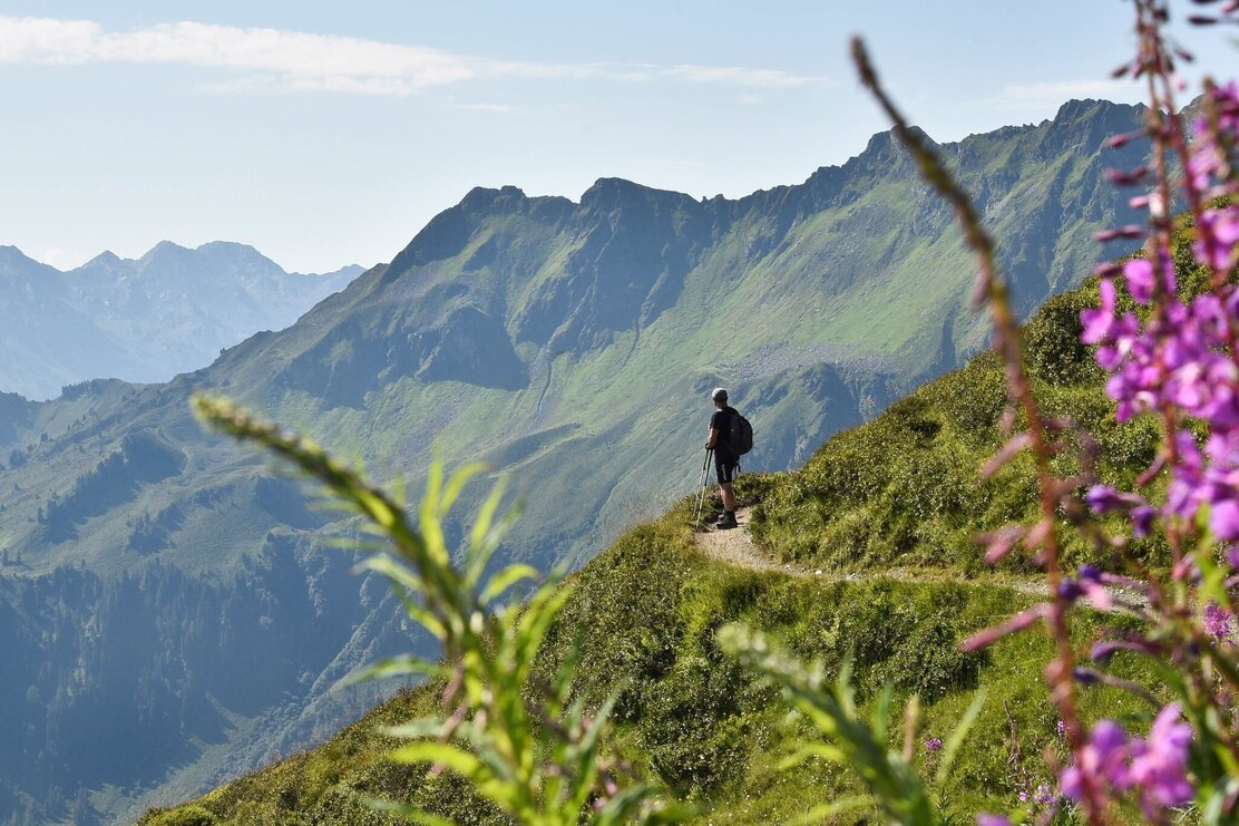
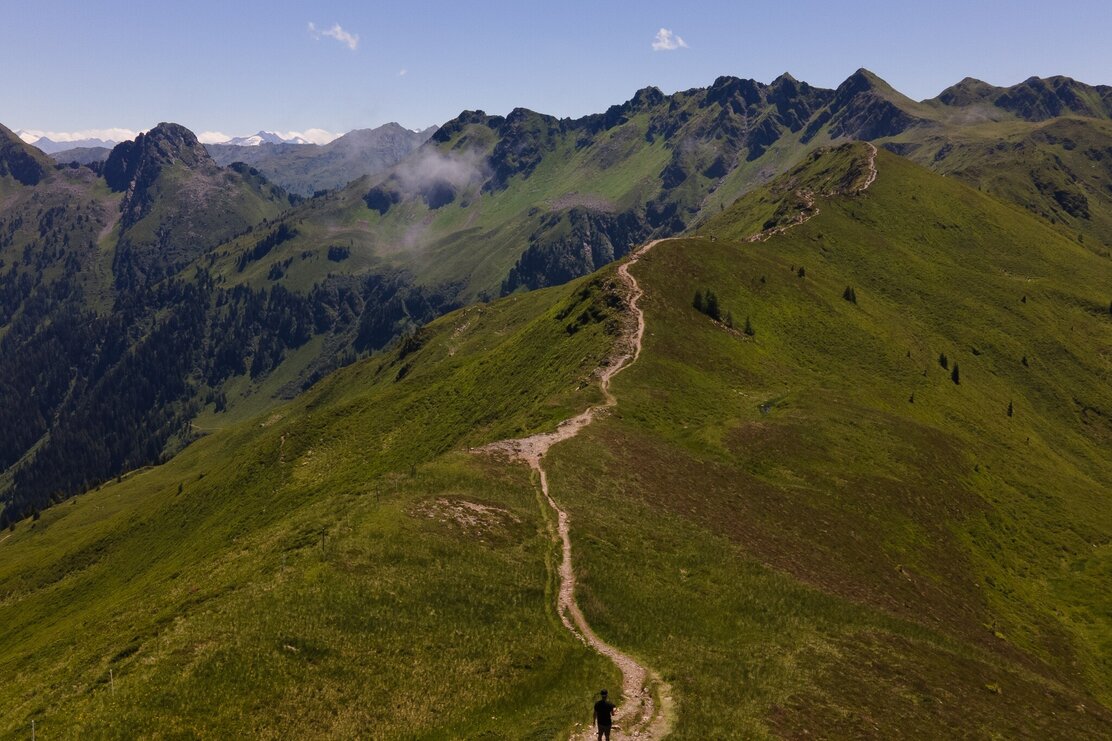
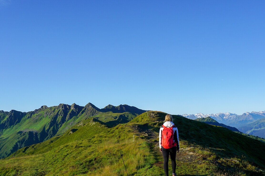
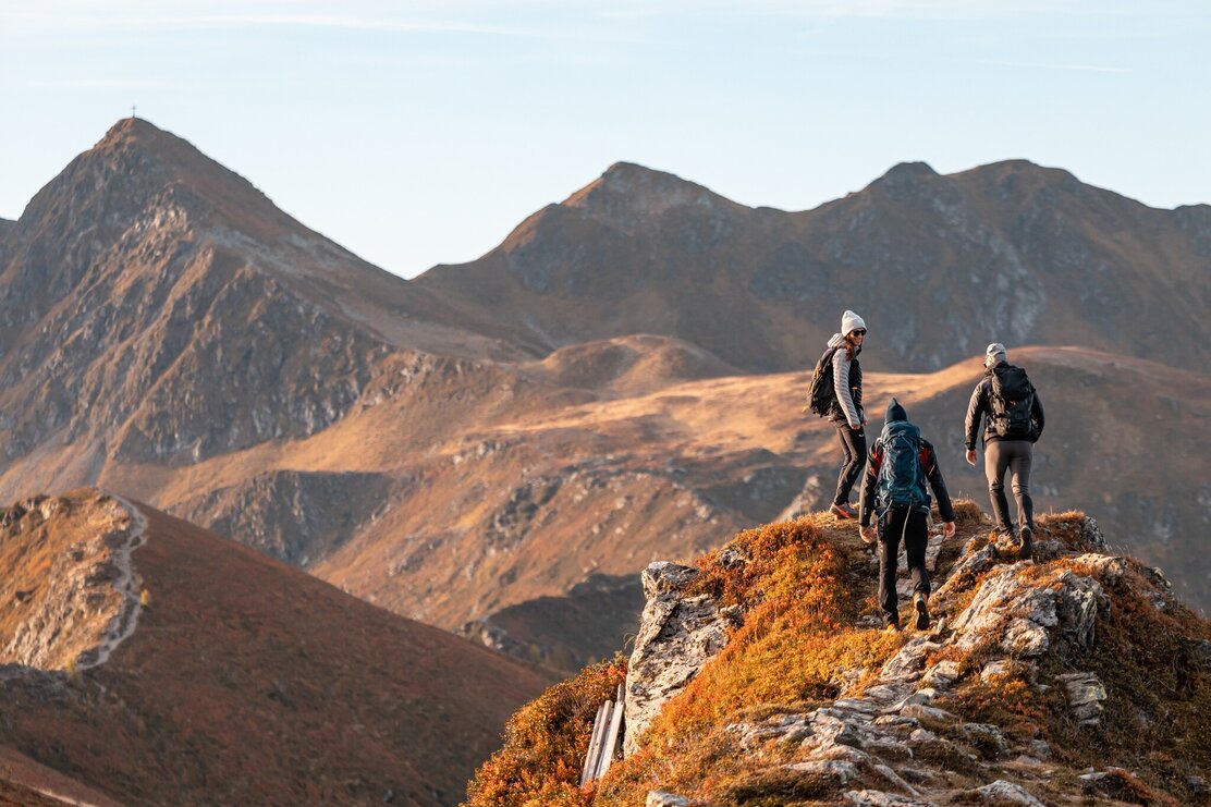
Follow the trail down to the Hornalm and walk along the ridge to the Standkopf. A shorter route to reach the beginning of the ridge, saving a few metres elevation leads from the top station via the panorama path A 40 (southern approach).
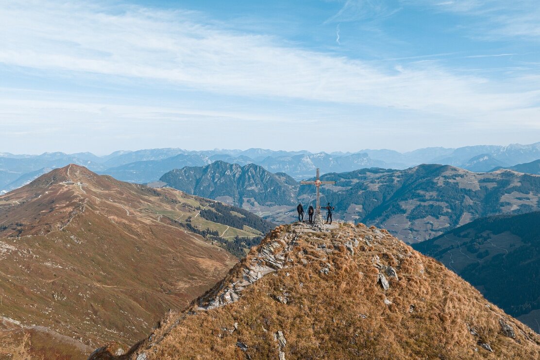
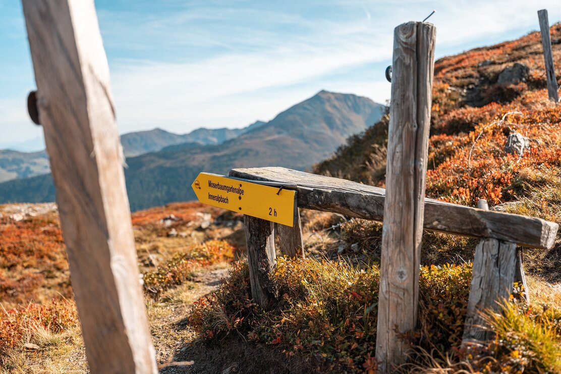
After approx. 2 h walking time either follow the signs for the Moserbaumgartenalm and on to Inneralpbach or continue along the ridge. The first peak is the Standkopf at 2.239 m (2 h 30 min from the top station).
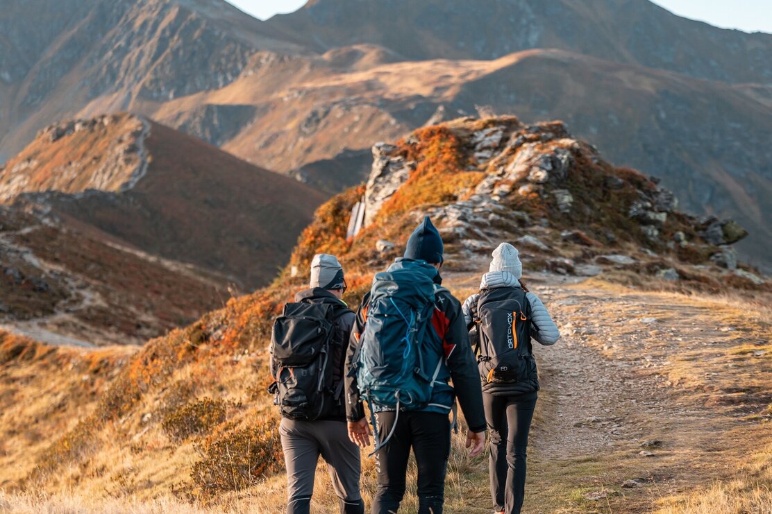
Please note! From this point on the trail is only suitable for experienced hikers. Sure-footedness and a head for heights is prerequisite!
The downhill trail is exposed and rope-secured! Continue along the rope-secured trail to the Tapenkopf at 2.244 m and along the ridge with several more rope-secured sections to the foot of the Gamskopf at 2.205 m. The Gamskopf is the last Sagtaler peak. Walking time from the Standkopf to the Sagtaler is an additional 1 h 30 min.
From the Krinnjoch folloow the sidns for "Inneralpbach, Farmkehralm" (1 h walking time).
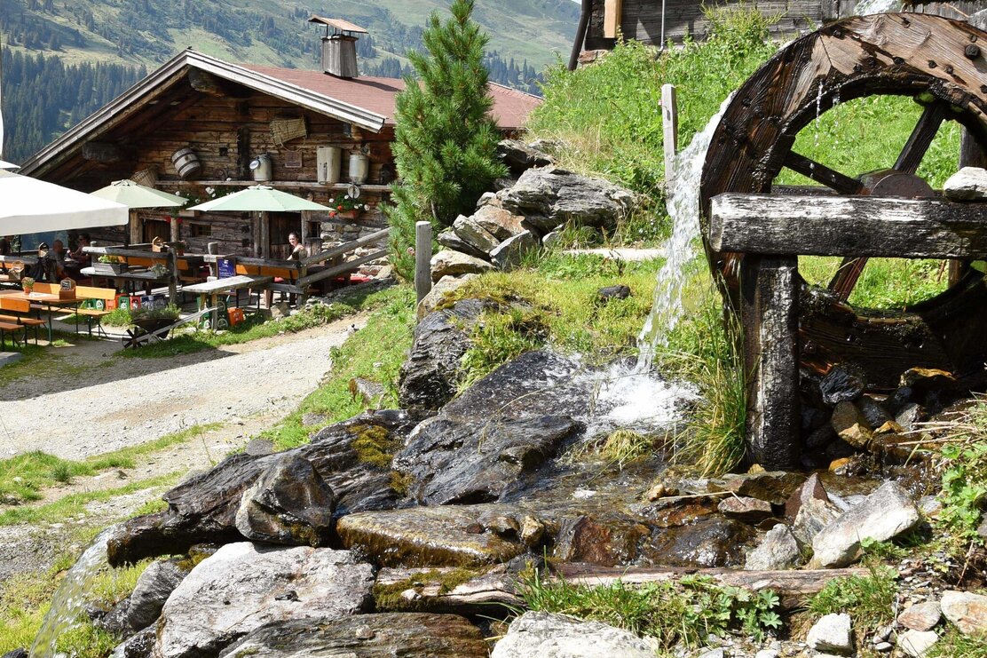
Treat yourself to a well earned break at the Farmkehralm. Follow the "Jagdsteig" leading to Inneralpbach (approx. 1 h 30 min) and take the bus back to the Wiedersbergerhornbahn car park.
Details
| Max. Altitude | 2241 |
| Start | Wiedersbergerhornbahn car park, Alpbach |
| End | Inneralpbach |
| Public access | A12, motorway exit Kramsach, towards Brixlegg, Alpbachtal, to the Wiedersbergerhornbahn |
| Public transport | www.vvt.at
bus no. 620 |
| Parking | Wiedersbergerhornbahn car park Parking fees for Alpbachtal Card holders: only cash accepted (or pay at the ticket counter) - summer only: 3 hours: € 3,00 / whole day: € 5,00 |
| Equipment | The trail between the Standkopf and Gamskopf/Krinnjoch is challenging and requires a head for heights and sure-footednesss. There are several exposed and rope-secured passages! Sturdy shoes and suitable clothing, water, something to eat, muesli bar, sun cream... |


