Mountain Biking
Difficulty: difficult
Großer Galtenberg Bike & Hike
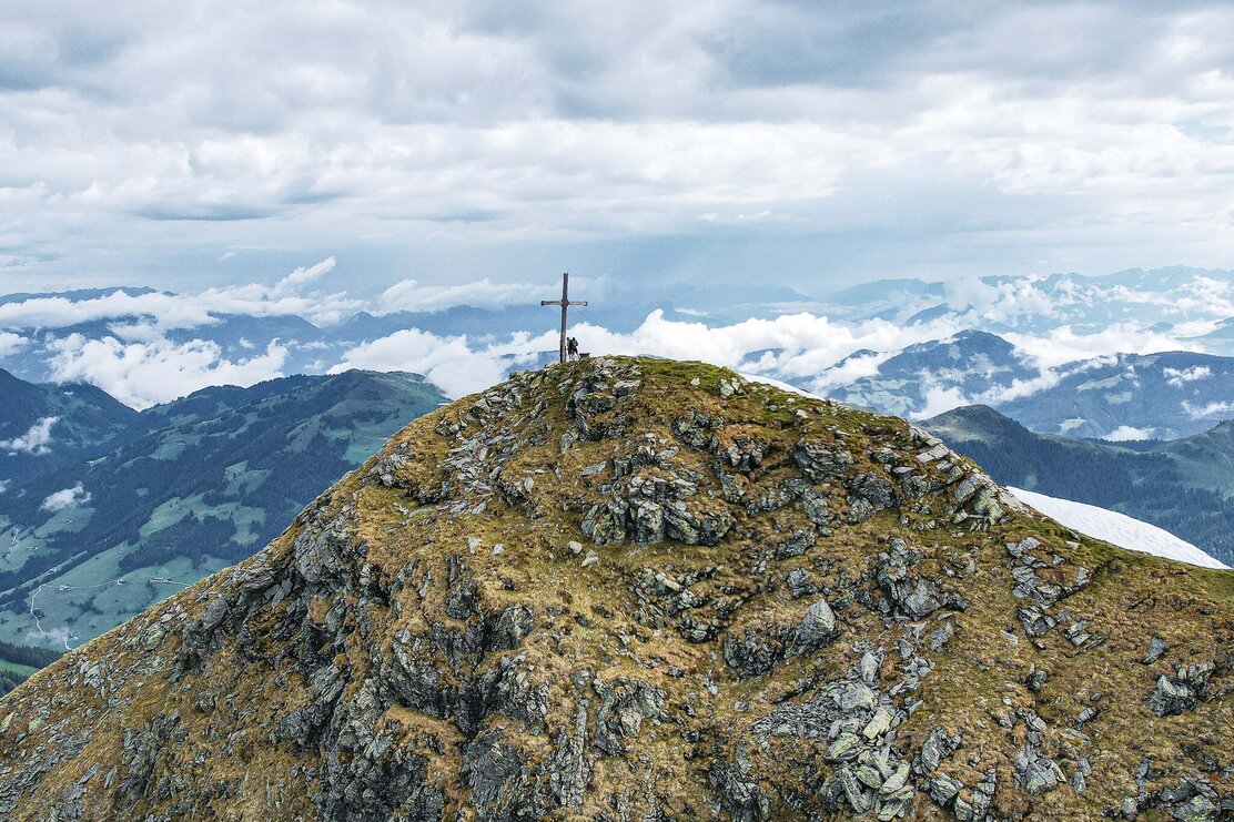
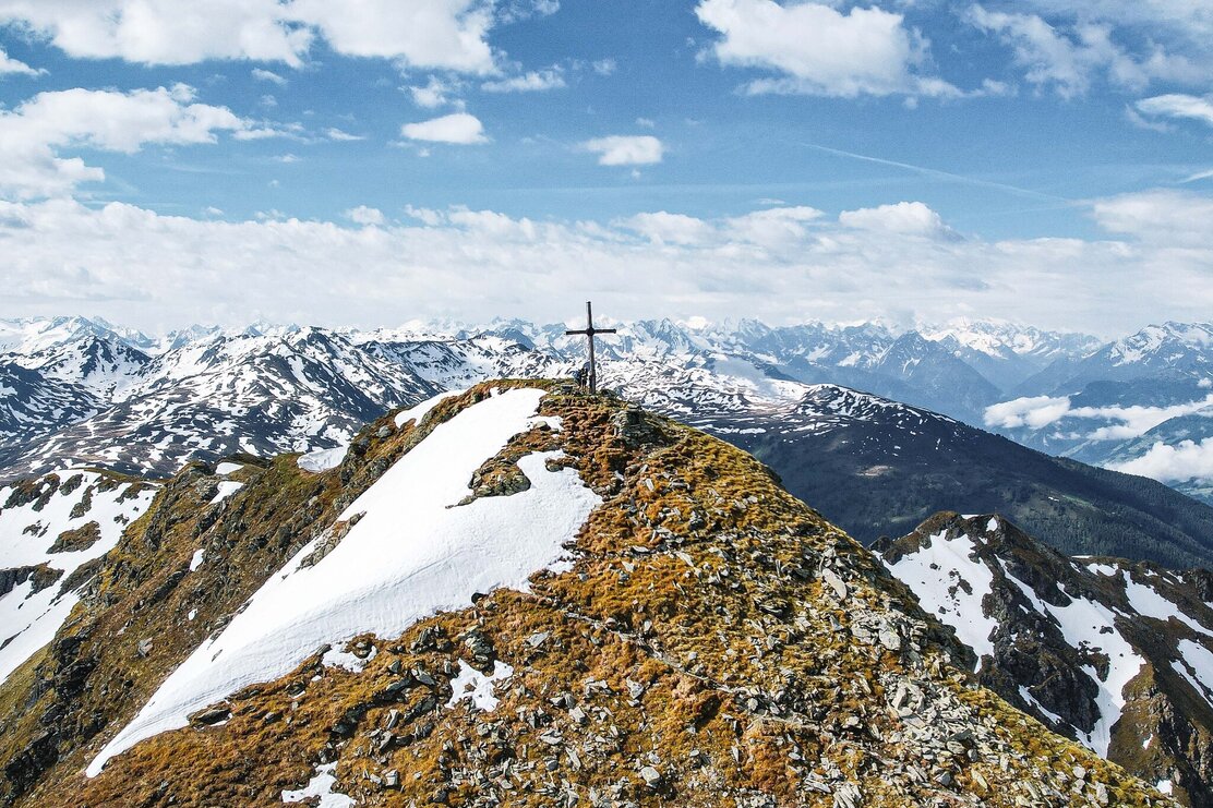
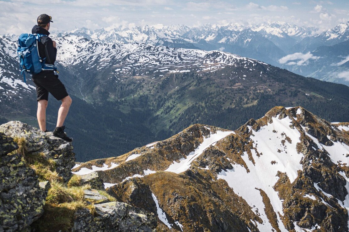
Großer Galtenberg offers one of the most beautiful views into the surrounding Alps, Dr. Julius Mayr physician from Munich described his impressions in 1921 in his book "Auf stillen Pfaden" (On quiet paths). From the peak you can easily see the Großglockner, Großvenediger and all other important mountains of the Central Alps.
Length
21.07 km
Duration
6:00 h
Altitude
1400 hm
1400 hm
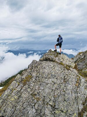
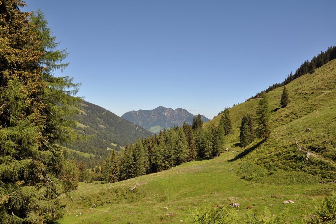
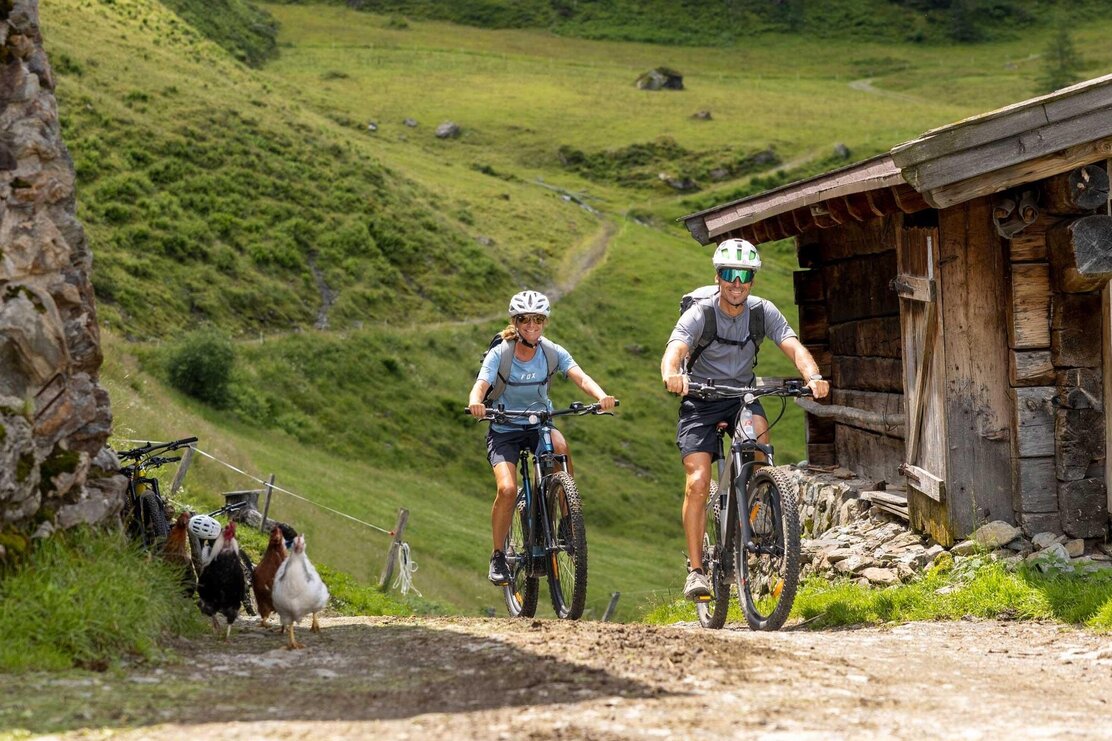
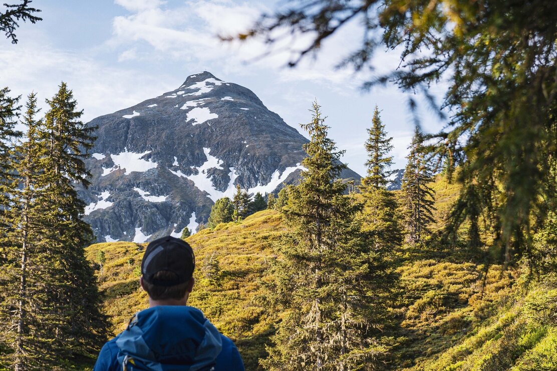
At the very southern end of the Alpbach valley, Großer Galtenberg (2,424 metres) - the highest peak in the region - looms over the valley. The mountain is perfectly suited for this combined Bike & Hike tour, which starts in the Greiter Valley in Inneralpbach. To the summit there are more than 1,300 meters of altitude difference and every metre is worth the rewarding views. The panorama line up fetures the Zillertal and Stubai Alps, the Hohe Tauern, Kitzbühel grass mountains and the peaks of the Karwendel. There are barely any technical difficulties during the ascent, only shortly before the summit you have to be sure-footed on the rocky terrain.
Directions
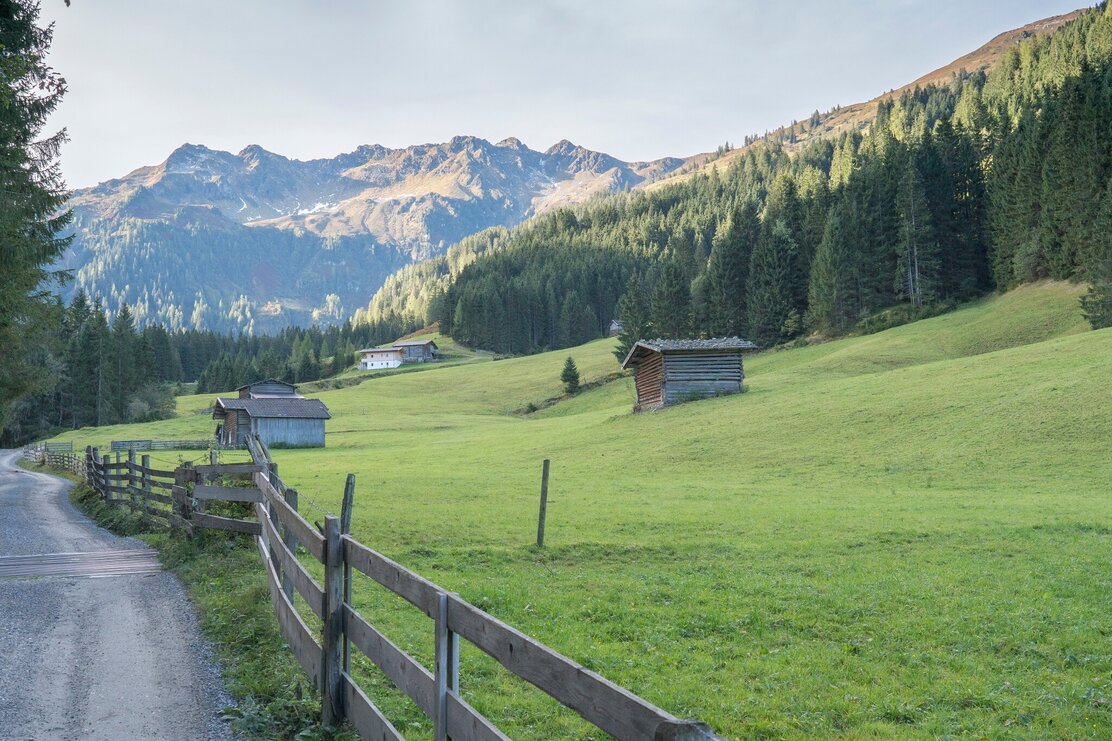
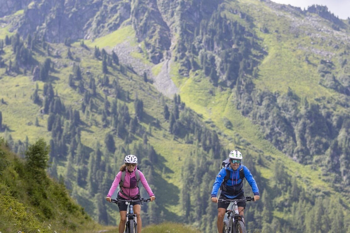
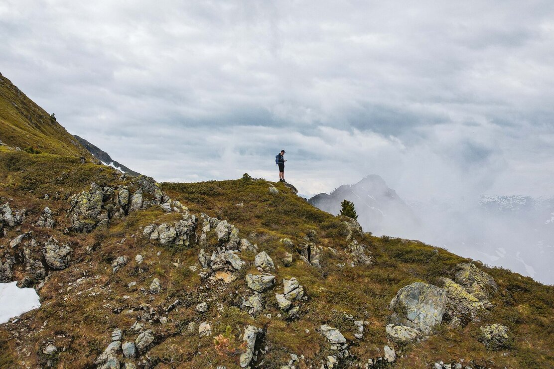
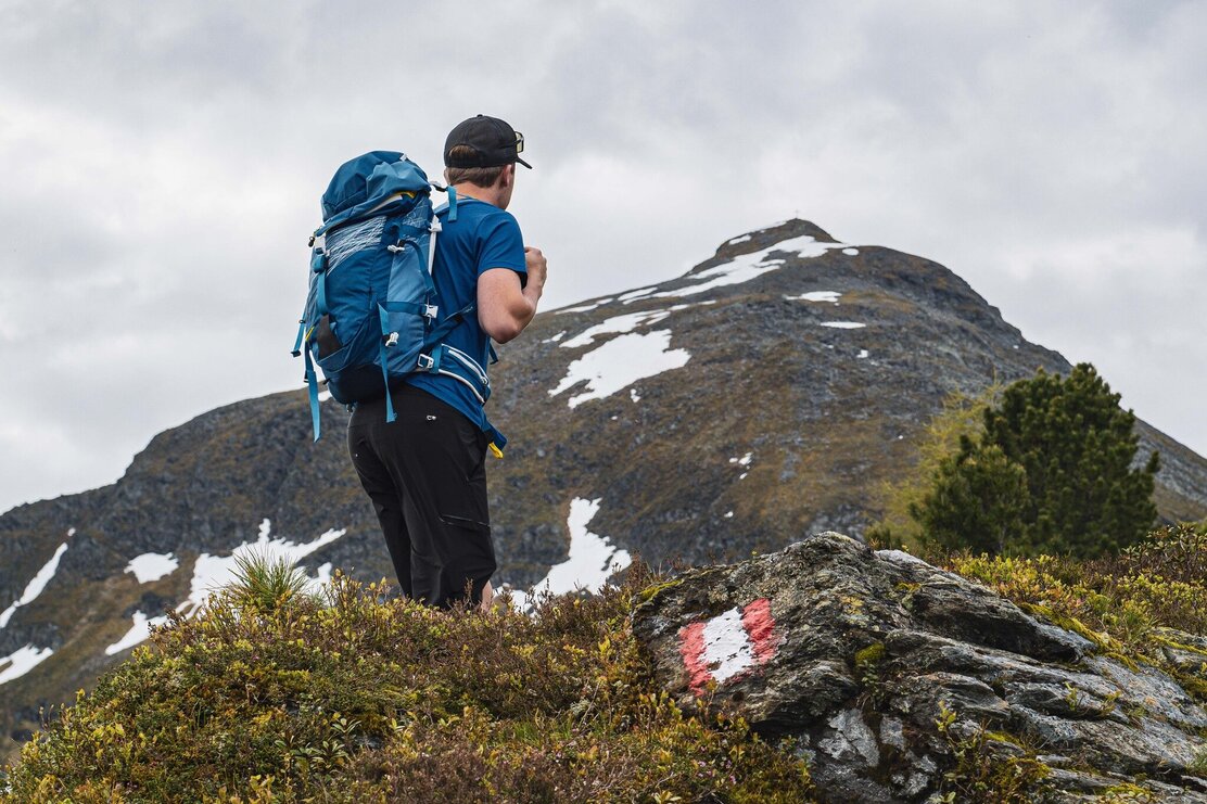
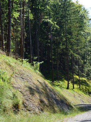
To reach the starting point at the former Gasthof Leitner in the Greiter Graben, take your bike or car towards Alpbach / Inneralpbach. Cross the bridge, shortly after turn right at the fork once again crossing a bridge and then approx. one more kilometre to the car park. Pass the barrier and continue up the valley following the forest track MTB-route 306. The track leads in a steady and pleasant ascent to the west of the stream through woods and meadows towards the Farmkehralm. Turn left at the Greitalm and stay on the main forest track (do not cycle up to Farmkehralm-Niederleger). After several curves you will reach the Farmkehralm Hochleger at 1.771 m. Park your bike, from this point you will be walking in an easterly direction to Großer Galtenberg (2,424 m). Turn left at the first signpost and hike along the path, which now leads increasingly steep in serpentines uphill. Towards the end the views become more and more beautiful and the path rockier. At the very end, some larger blocks need to be negotiated; sure-footedness is required. Allow yourself time rest and take in the spectacular views. The descent is to the south, where a narrow ridge path leads to Kleiner Galtenberg at 2,318 m - a small detour of 45 m altitude difference. Descend again in an easterly direction and after approx. 200 m follow the signs to Farmkehr-Hochalm. Hope back on to your bike and cycle out the valley.
Author
Manuel Hufnagel
Safety guidelines
Bike (medium difficulty) time: 2 h / route distance: 13,6 km / altitude gain: 674 m Hike (medium difficulty) time: 4 h 20 min / route distance: 6 km / altitude gain: 689m. The hike leads through high Alpine terrain, sure-footedness is required Please note: physical stamina required!
Summit tour
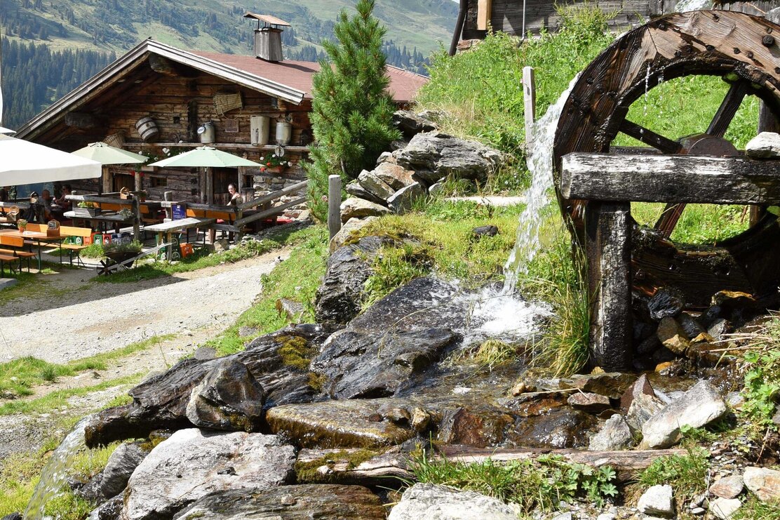
Rest stop
Details
Max. Altitude | 2424 |
Start | Car park at the former Gasthof Leitner in the Greiter Valley, Inneralpbach |
End | Car park at the former Gasthof Leitner in the Greiter Valley, Inneralpbach |
Public access | In Brixlegg, at the roundabout, follow the road direction Alpbach, to the Alpbach Lagerhaus and then straight on towards Inneralpbach. Stay on this road until the end and turn right crossing the bridge cycling on until you reach the car park. |
Public transport | Please click on the applicable link for bus timetables.
|
Parking | Car park at the former Gasthof Leitner in the Greiter Valley, Inneralpbach (parking fees apply!) |
Equipment | Bike, helmet, sun glasses, bike shorts, pullover, rain proof jacket, hat, bike rucksack, drinking bottle, map, first aid kit, mobile phone, camera, bike lock, replacement inner tube, mini tool kit, bike pump, puncture repair kit, sealing (repair) tape, sun cream, energy food (muesli bar), snack, ... For the hike: sturdy shoes and all-weather clothing |


Tips for you
Good to know
There's more!