Luegergraben - Galtenbergsattel
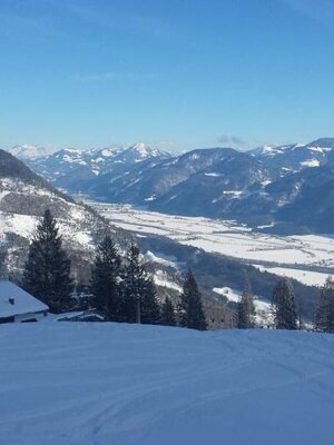
Challenging ski route with spectacular views
Hiking time: 3 hours – 900 m elevation to the Galtenbergsattel/ski depot at about 2,000 m
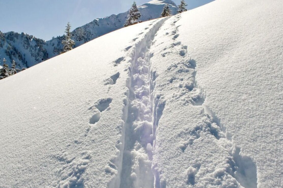
Directly from the parking lot in Luegergraben, cross the bridge and ascend on the west side of the stream along the forest road to the open areas below the Kolbentalalm. Slightly keep right through beautiful meadows and hollows to the ridge, which is reached at about 1,800 meters. The trail then leads southwards always along the ridge to the steep northwest flank of the Großer Galtenberg.
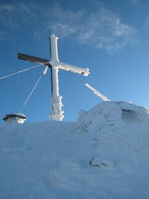
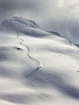
For those in good shape: Usually the snow conditions do not allow skiing all the way to the summit. The slope is too exposed. From the ski depot – a large, distinctive boulder – at about 2,000 meters, hike the last 400 vertical meters on foot to the summit, which is definitely the safest ascent option.
Descent: same as the ascent or for experienced skiers from the saddle below the summit rise to the left, i.e. westwards, and descend on wide, open, and steep slopes to the Farmkehralm; from there continue to the Greiteralm and via the Greiter Graben out to Inneralpbach.
Details
| Max. Altitude | 2083 |
| Start | Alpbach/Inneralpbach or Hochberg |
| End | Alpbach/Inneralpbach or Hochberg |
| Public access | A12, Kramsach/Brixlegg motorway exit, direction Brixlegg, direction Alpbachtal, after Inneralpbach, turn left before Connys Original Tiroler Wirtshaus and follow the road to the Parkplatz Hochberg or use the public parking lot in Inneralpbach |
| Public transport | www.vvt.at/Line: 620/Stop: Inneralpbach |
| Parking | Depending on the descent: Descent via ascent route: Parkplatz Hochberg (paid - cash only) Descent via Farmkehralm/Greiter Graben: Parkplatz Inneralpbach (paid) |
| Equipment | Observe the current avalanche situation on every ski tour. Avalanche Warning Service Tirol Ski touring equipment, sufficient drinks and provisions |
