Uphill trail - Holzknecht 358
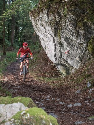
Who can make it up here without getting off?
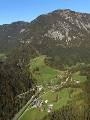
From the Audörfl district, follow the Audörfl circular hiking trail; from here the uphill trail branches off and leads up to the L4. Perfectly suited for e-mountain bikes. From here you can continue along the state road L4 to Kramsach.
Details
| Max. Altitude | 918 |
| Start | Brandenberg Audörfl |
| End | down via L4 to Kramsach or back to Brandenberg |
| Public access | https://radrouting.tirol/ |
| Public transport |
currently not possible by bike |
| Parking | Parking can be found in the village centre of Brandenberg |
| Equipment | Winter closure from 1 November to 1 April of the following year: all MTB routes and cycling paths are closed for safety reasons There is no snow clearance service for these paths and many MTB routes are avalanche-prone. Depending on snow conditions, some routes may be closed longer than until 1 April. Further information on snow conditions at the local tourist office. Helmet, glasses, bike shorts, sweater, rain jacket, cap, biker backpack, water bottles, map, first aid kit, mobile phone, camera, lock, spare tube, mini tool, pump, puncture repair kit, tape, sunscreen, muesli bars, snack, ... |
