Mountain Biking
Difficulty: Easy
Inn Cycle Path - Tyrolean Unterland - cycling route 2
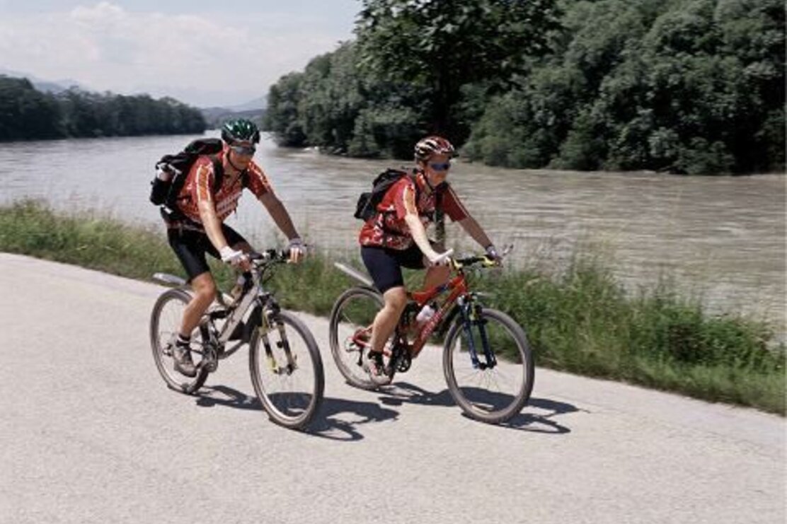
Inn Cycle Path - Tyrolean Unterland The Inn Cycle Path covers 96 km in the Tyrolean Unterland along the banks of its namesake, the Inn River. The easy, family-friendly route with no significant climbs leads through the historic towns of Innsbruck, Hall, Schwaz, Rattenberg and Kufstein, as well as numerous picturesque villages in between along the Inn River. Along the entire course of the Inn Cycle Path there are many connecting or extending tours that reach from the bottom of the valley to the top of the mountains!
Length
99.66 km
Duration
2:00 h
Altitude
45 hm
158 hm
The route is easy, with no major climbs and suitable for all age groups; long stretches along the banks of the Inn, alluvial landscapes; through the towns of Innsbruck, Hall, Schwaz, Rattenberg, Kufstein and their historic, picturesque town centres; several connecting and extending tours possible from Reith i. A., Brixlegg, Kramsach, Rattenberg, Radfeld and Kundl.
Inn Cycle Path access points within the region: Reith i. A., Brixlegg, Kramsach, Rattenberg, Radfeld and Kundl.
Family friendly
Start in the valley
Details
| Max. Altitude | 583 |
| Start | Ottoburg, Innsbruck |
| End | Erl |
| Public access | Depending on the point of entry. |
| Public transport | Here you can plan your journey with Verkehrsverbund Tirol Bicycle transport up to 5 bikes Find timetables and a diagram of the network on: http://www.alpbachtal.at/en/info-and-service/free-bus-services |
| Parking | Point of entry. |

Tips for you
Good to know
There's more!
