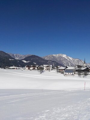
Greitergrabenloipe - Inneralpbach
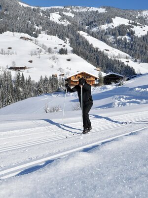
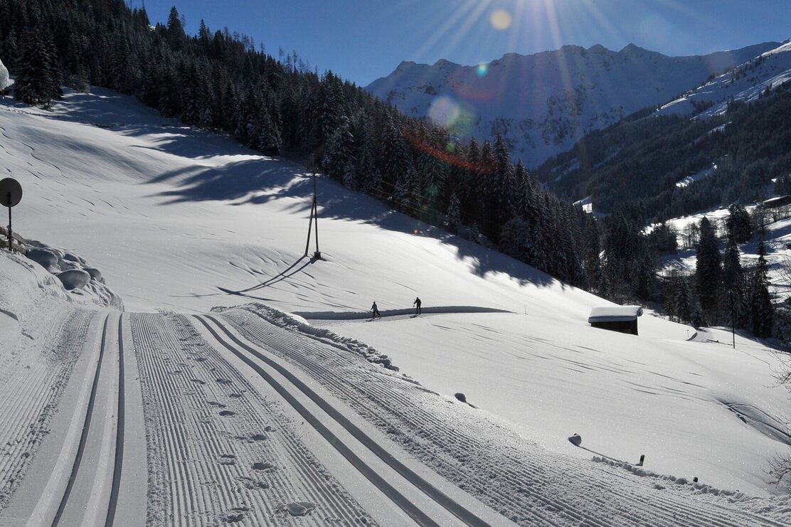
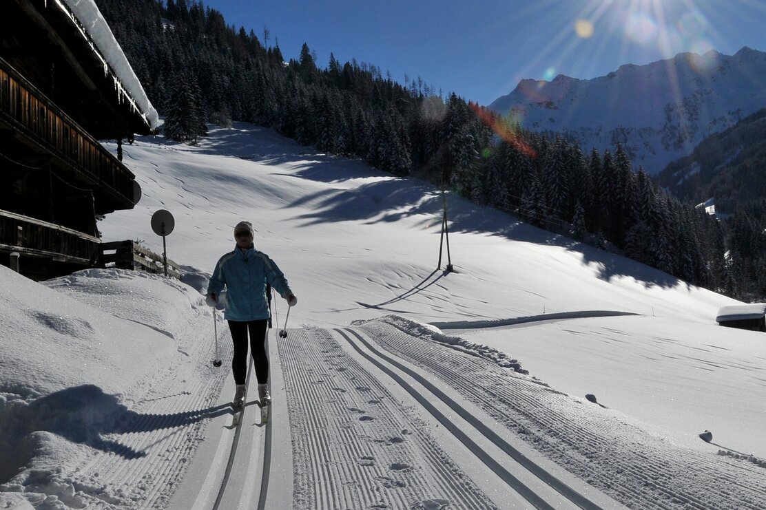
Beautiful cross-country trail in Inneralpbach with a great mountain experience.
Type: Classic
Difficulty: hard, length: about 10 km
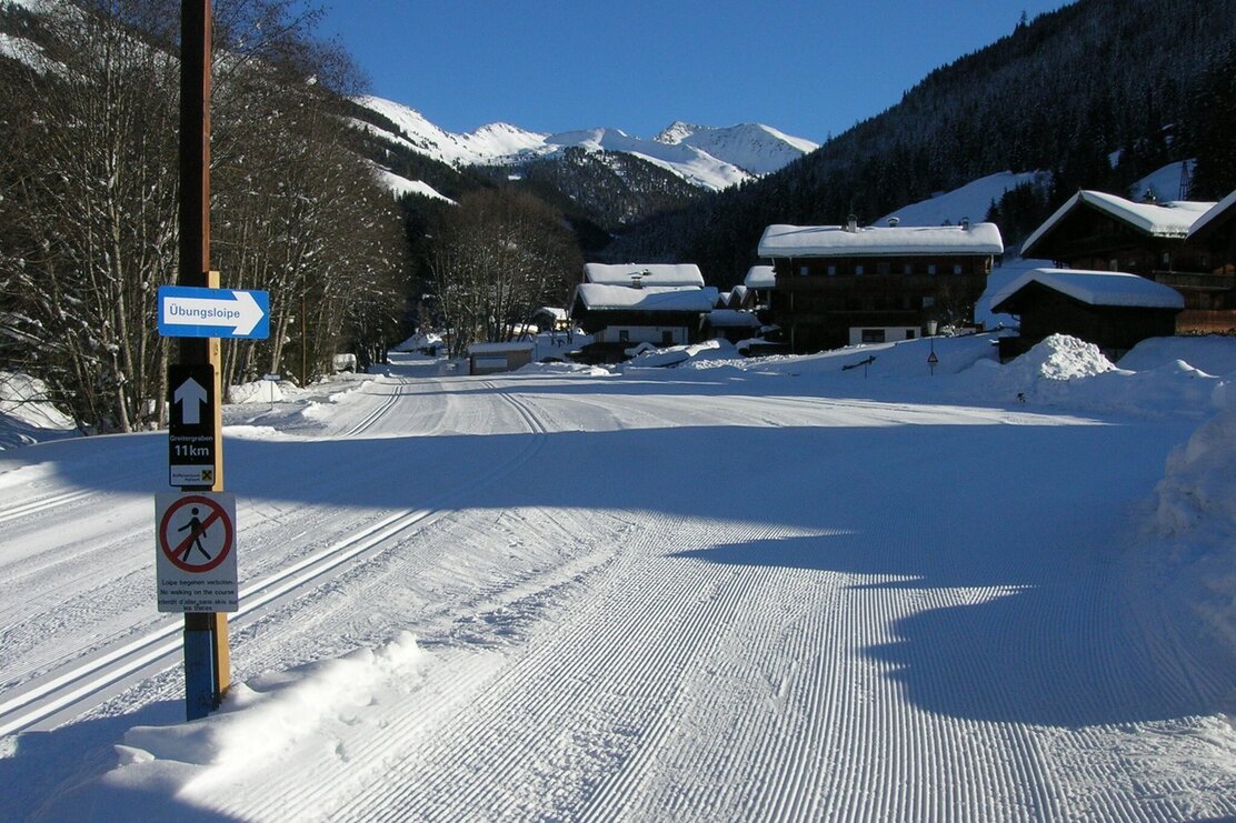
The start is located along the Luegerbach 200 m after Aparthotel Hummerau and runs along the stream. Simply follow the signage. From the start, follow the stream about 800 m until the Luegerbach is crossed. Then turn right downhill at the T-junction and after about 500 m turn left uphill to Unterberg. From there, the route goes through the fields of the "Neaderbauern" in switchbacks downhill to the turning point "Salcherbrücke." The descent partially runs on the forest road for about 1 km to the "Greitereck." From there, again across fields to the finish.
Details
| Max. Altitude | 1190 |
| Start | Inneralpbach, at Aparthotel Hummerau turn left on the street about 200 m to the free parking lot |
| End | Inneralpbach, at Aparthotel Hummerau turn left on the street about 200 m to the free parking lot |
| Public access | A12, Kramsach/Brixlegg highway exit, direction Brixlegg, direction Alpbachtal, to Inneralpbach |
| Public transport | www.vvt.at Bus 620 |
| Parking | At Aparthotel Hummerau turn left on the street about 200 m to the free parking lot |
