Zireiner Lake (guided)
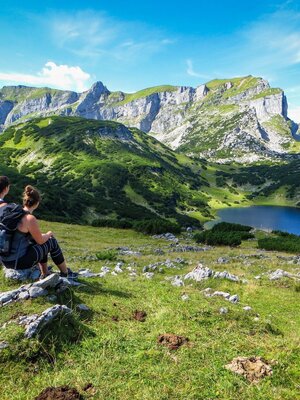
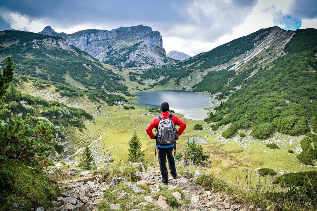
An alpine guided mountain hike with the impressive backdrop of the Rofan Mountains!
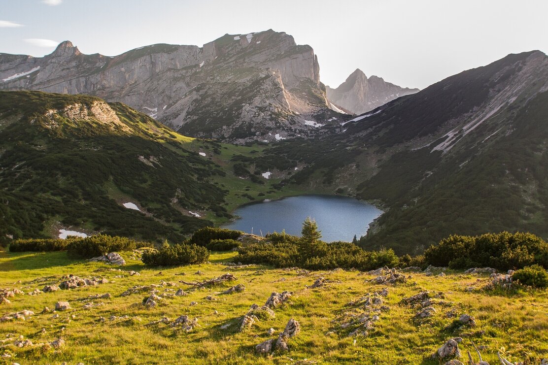
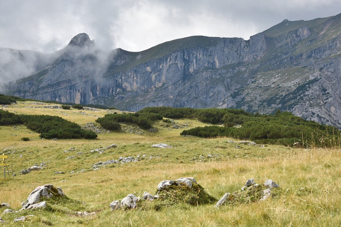
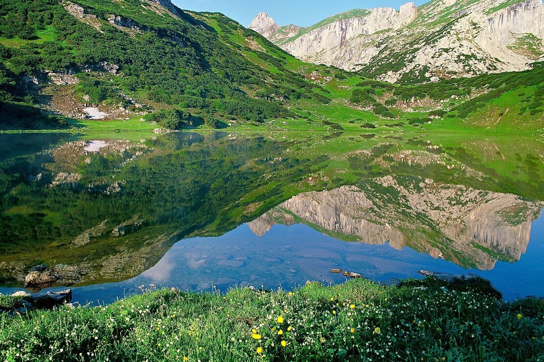
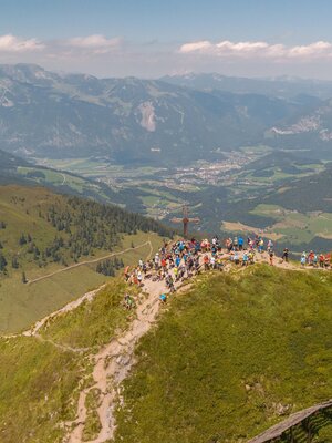
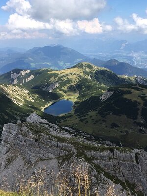
The highest mountain lake in Tyrol awaits you. Equipped with good fitness, desire for a demanding hike and a sense for beauty, this guided walk into the natural jewel Rofan Mountains becomes a true experience for you.
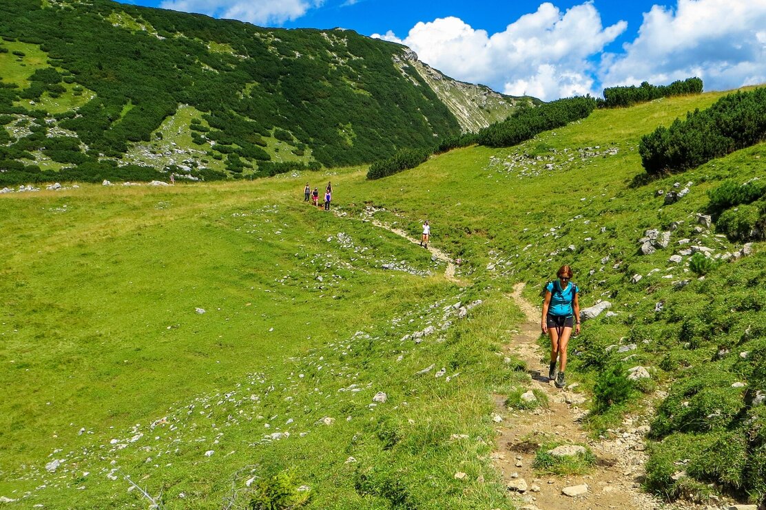
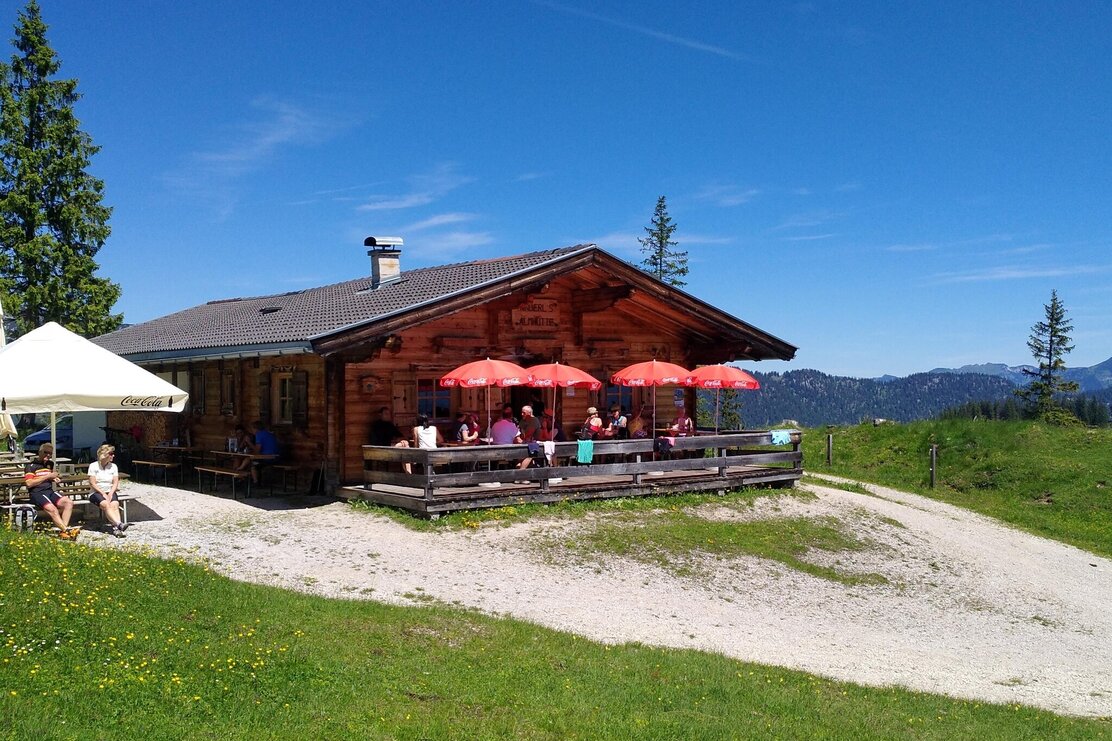
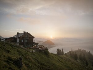
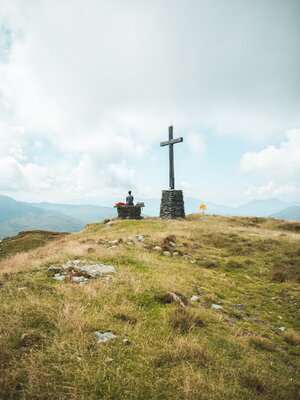
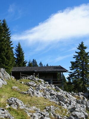
From the meeting point at Sport Ossi, the regional bus goes to Aschau. Then a transfer with a local taxi company continues to Eilalm. Here the hike begins and leads past Anderl's alpine hut (place to stop for refreshments), to the unmanaged Kreuzein Alm, and further over Roßwies to Zireiner Lake. Return via the Gappsteig trail back to Aschau bus stop.
Info about the guided hike with Sport Ossi
- Day: Tuesday
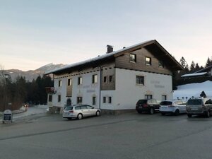
- Meeting point: 07:50 am Sport Ossi, Wittberg 105, 6233 Kramsach
- Period: June 17 - September 16, 2025
- Duration 8 h - pure walking time: approx. 6 hours
- Participants: at least 1, maximum 7 persons from age 12
- Refreshment possibility: Anderl's alpine hut
- Registrations until the day before 4:00 pm at: +43 5337 21 200 20 or at the Alpbachtal Experience Shop
Price for the guided hike
for only 1 participant:
- € 100.00 per person with the Alpbachtal Card
- € 110.00 per person without Alpbachtal Card
for 2 participants:
- € 49.00 per person with the Alpbachtal Card
- € 59.00 per person without Alpbachtal Card
from 3 participants:
- € 33.00 per person with the Alpbachtal Card
- € 43.00 per person without Alpbachtal Card
including taxi fees with Alpbachtal Cardexcluding taxi fees without Alpbachtal CardPayment on site
Details
| Max. Altitude | 1899 |
| Start | Kramsach parking lot former Sonnwendjoch cable car |
| End | Kramsach, parking lot former Sonnwendjoch cable car |
| Public access | A12, Kramsach motorway exit, direction Kramsach, after the roundabout turn left until the next right curve, here turn left again and continue to the parking lot of the former Sonnwendjoch cable car |
| Public transport | www.vvt.at Bus 603 or 611 |
| Parking | Parking lot former Sonnwendjoch cable car |
| Equipment |
sturdy shoes, weatherproof clothing and provisions |
