Pinegg - Brandenberg
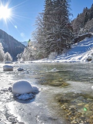
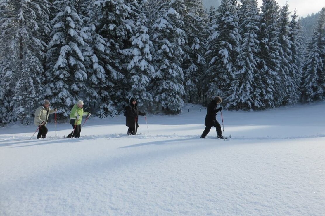
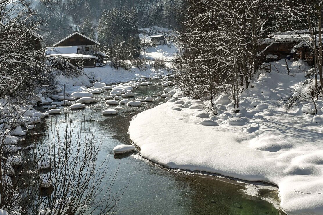
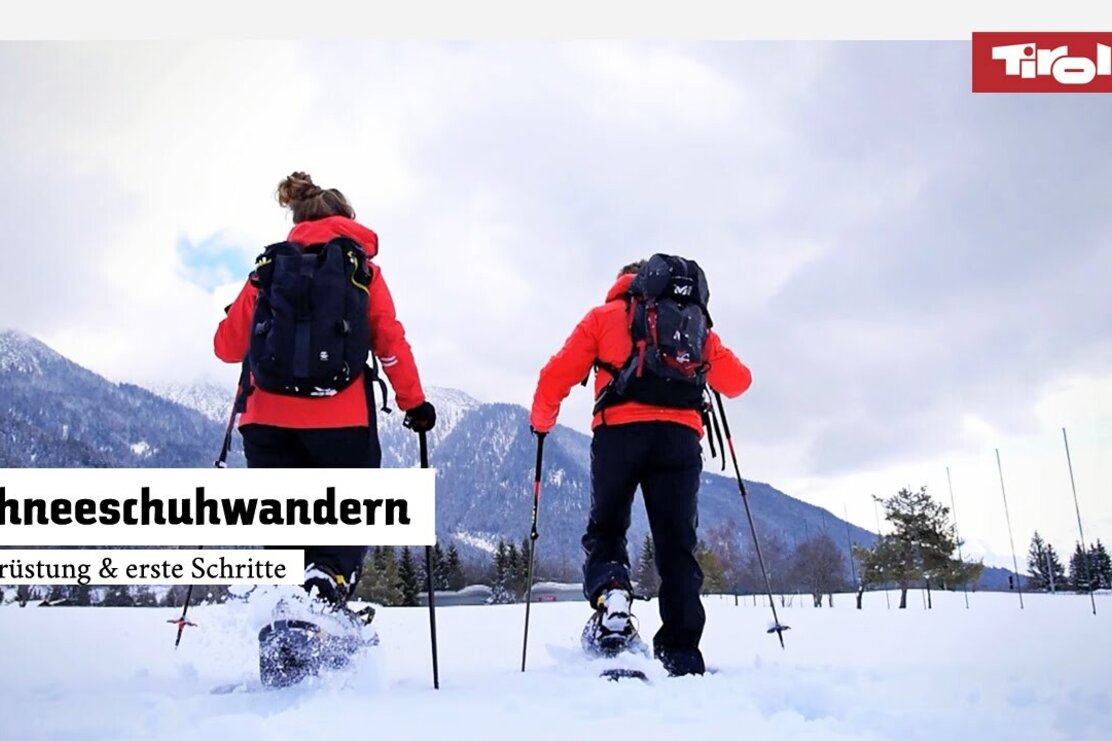
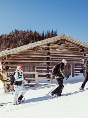
Easy snowshoe route, partly along the Brandenberger Ache
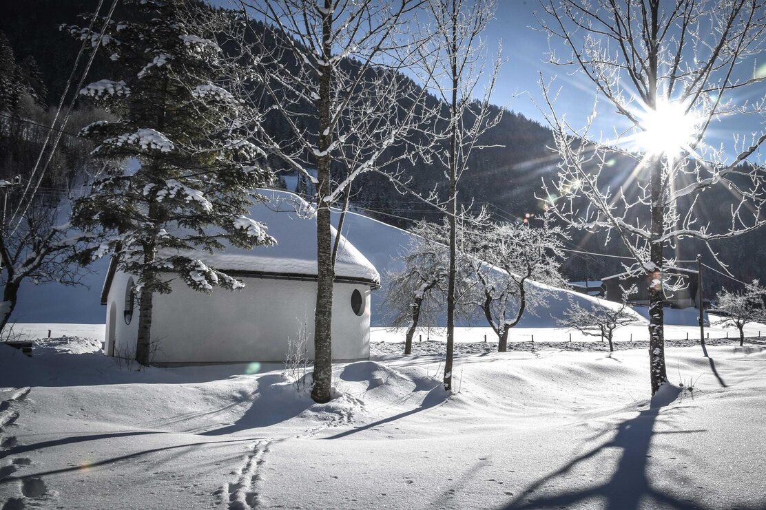
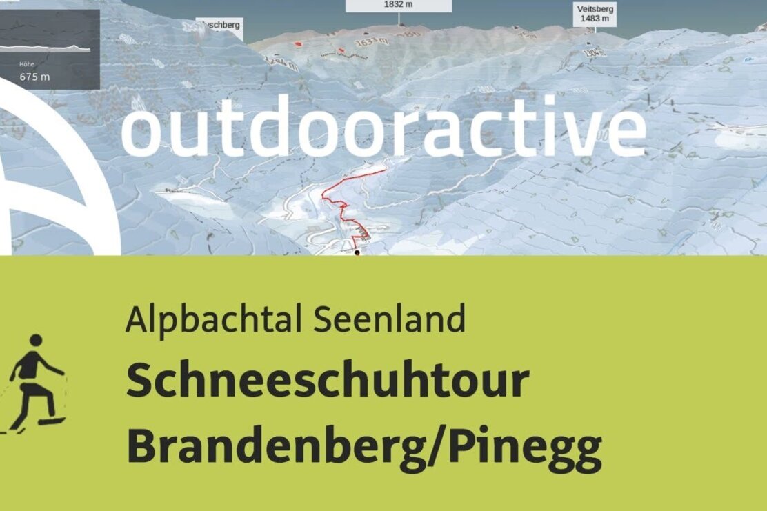
From the Gwercherwirt, a short way down to the right, just before the bridge turn right upwards, a gentle climb, follow the signs for Kaiserhaus/Kaiserklamm and continue on paths and meadows, partly along the Brandenberger Ache, to the junction Kaiserhaus/Ellbach; return on the same route to the starting point.
Details
| Max. Altitude | 727 |
| Start | Pinegg, Brandenberg |
| End | Pinegg, Brandenberg |
| Public access | A12, Kramach motorway exit, direction Kramsach, direction former Sonnwendjoch cable car, past the valley station follow the road to Aschau and continue to Pinegg, cross the bridge and about 200 m upwards to Gwercherwirt. or: A12, Kramsach motorway exit, direction Kramsach, direction lakes, after the bridge turn left upwards to Brandenberg, pass through the village center to the district Winkel, here downwards to Pinegg - Attention: shortly before the valley floor on the right side you will find the Gasthof Gwercherwirt |
| Public transport | www.vvt.at/Line 610/Stop: Gwercherwirt |
| Parking | Brandenberg/Pinegg, Gasthof Gwercherwirt |
| Equipment | In winter conditions, additional hazards such as avalanches and increased snow load can occur. sturdy winter shoes, snowshoes, weather-appropriate clothing |
