Reitherboden circular route
A great opportunity to get to know your holiday destination better! A leisurely hike with many impressions of Reith.
Nice village circuit with great views!
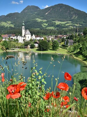
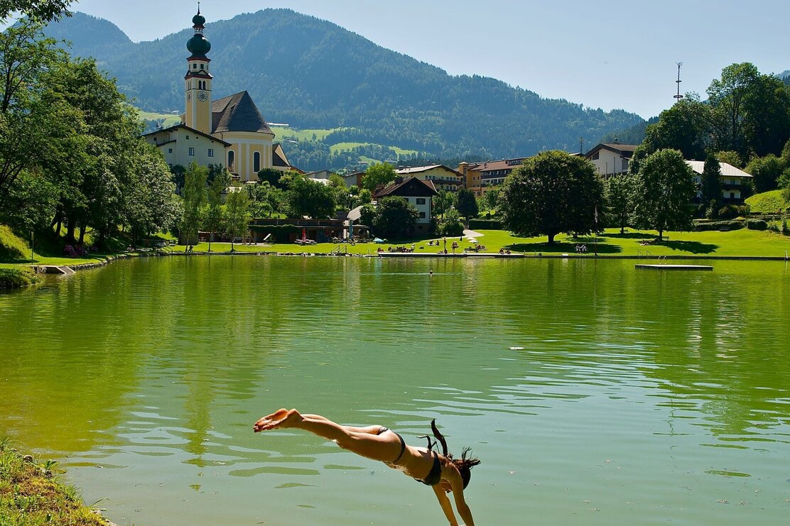
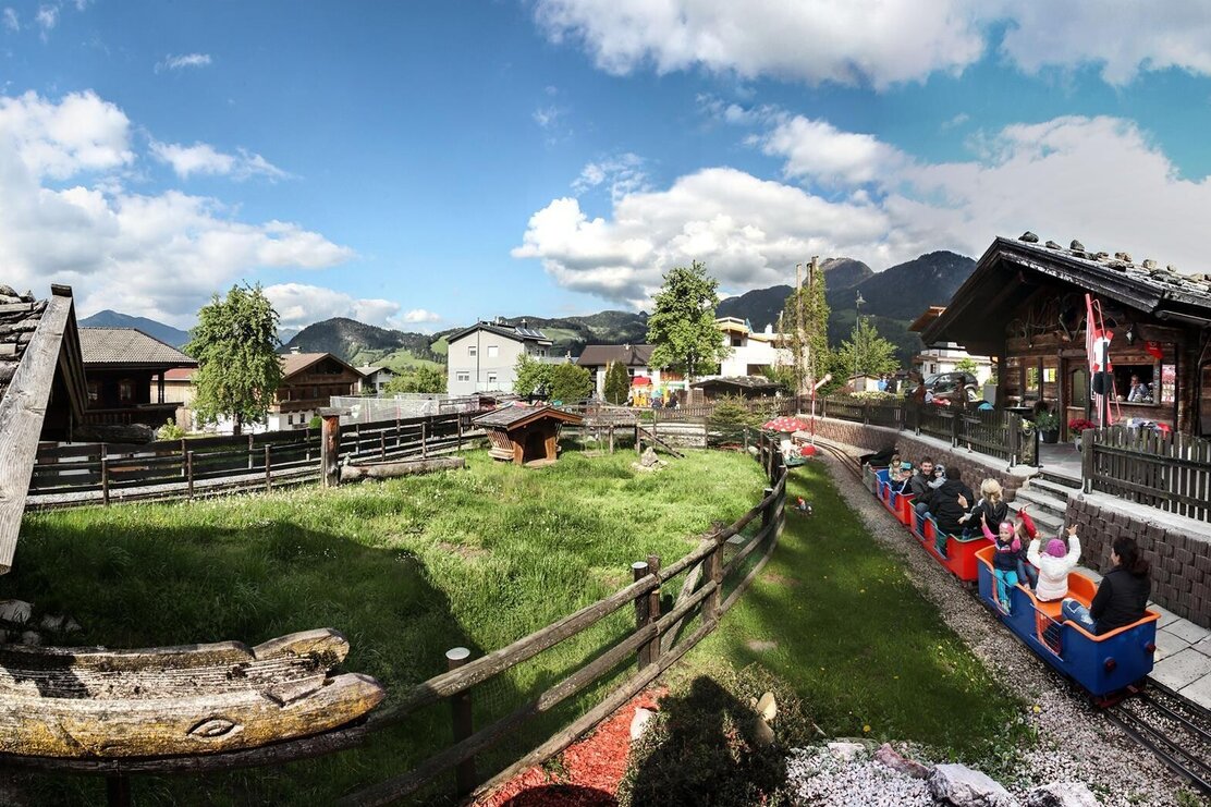
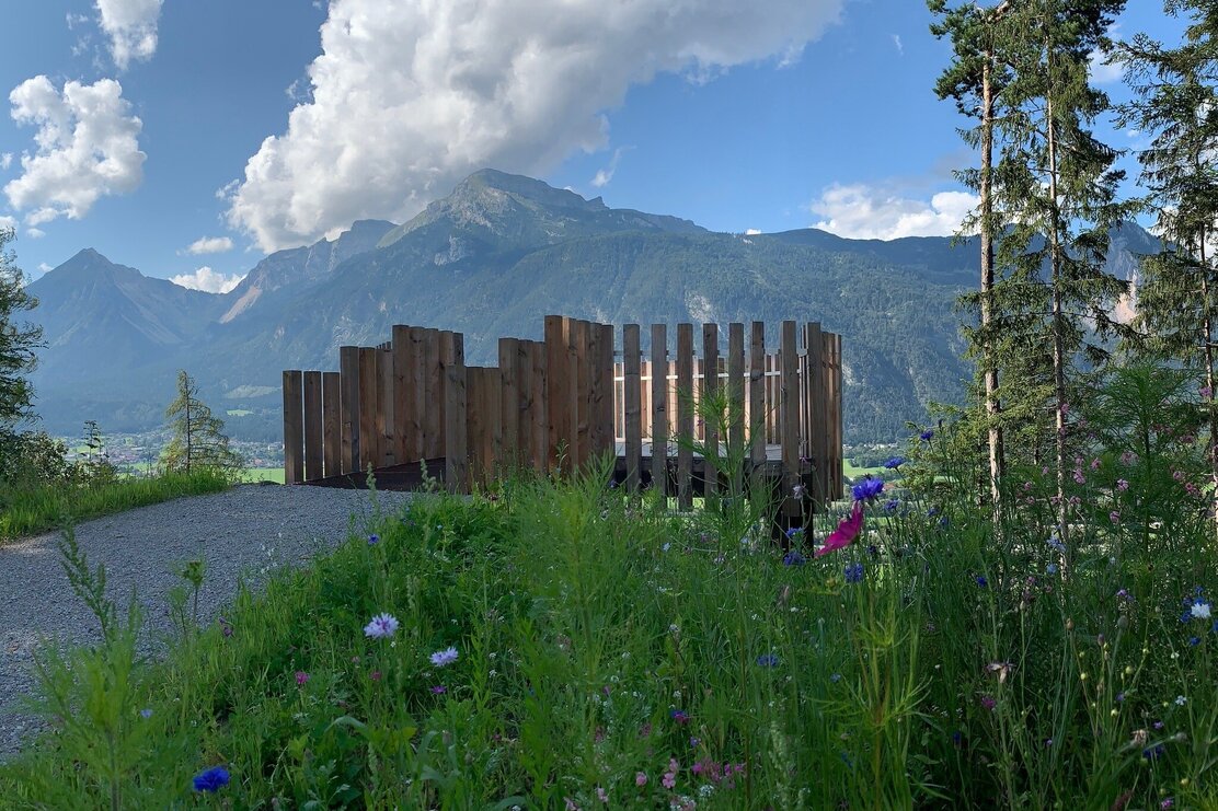
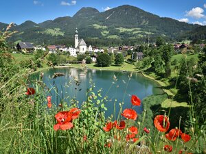
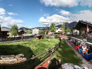
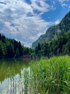
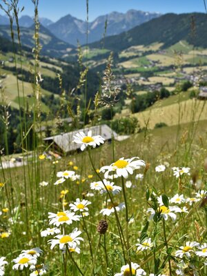
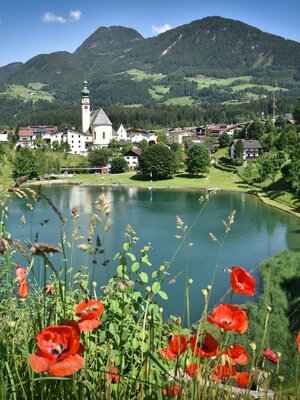
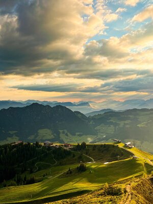
The leisurely walk through the flower village Reith im Alpbachtal starts in the village center. Already at one of the first stops, the Reither See, you can learn interesting facts about the legend of the Venedigermandl. The route leads above the lake to the Alpbachtal children's park, where you should definitely take a break if you have children, and even without kids a small drink break in the park is recommended. Then continue towards the alpine hut village Reith Alpine pastures – here you can really switch off and dream about what it would be like to live in such a rustic alpine pasture. The view of the village and the mountain world from here is unique.
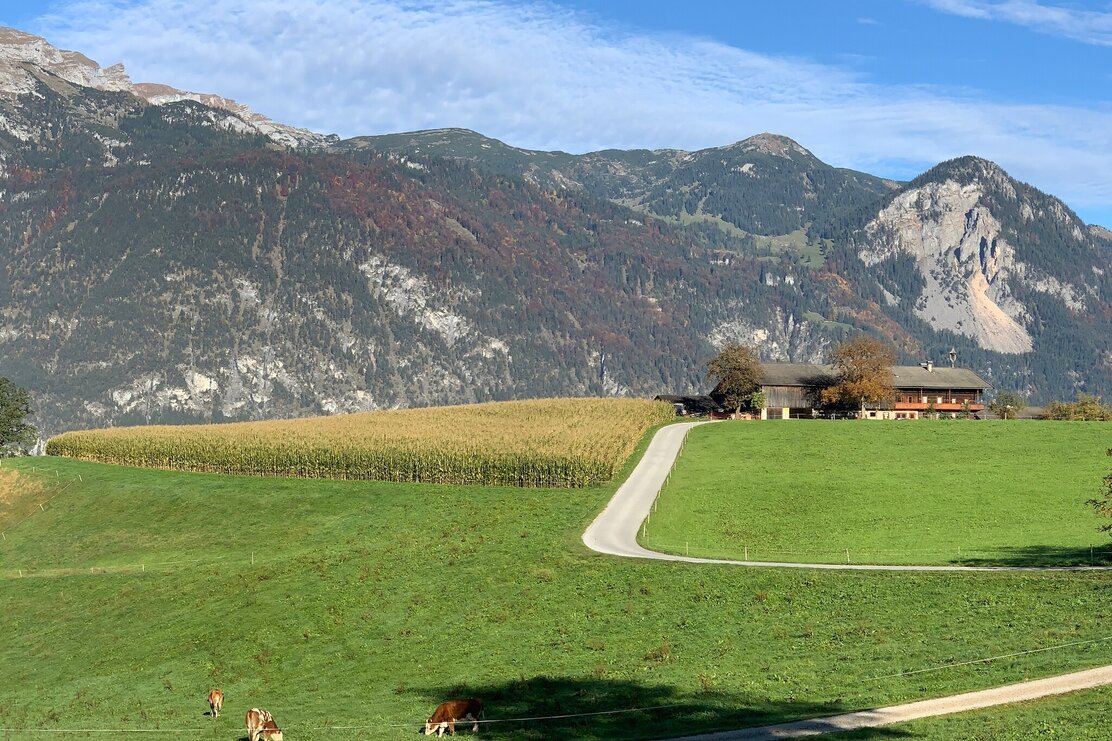
The hike follows the forest edge towards the Brandachhof farm. Soon the path leads left back to the village center.
Details
| Max. Altitude | 693 |
| Start | Reith im Alpbachtal |
| End | Reith im Alpbachtal |
| Public access | A12, motorway exit Kramsach/Brixlegg, direction Brixlegg, direction Alpbachtal, Reitherkogelbahn |
| Public transport |
Bus 620 church Reith im Alpbachtal |
| Parking | Valley station Reitherkogelbahn |
| Equipment | Comfortable hiking clothing |
