Road Cycling
Difficulty: difficult

Road bike 01 Giro Alpbachtal

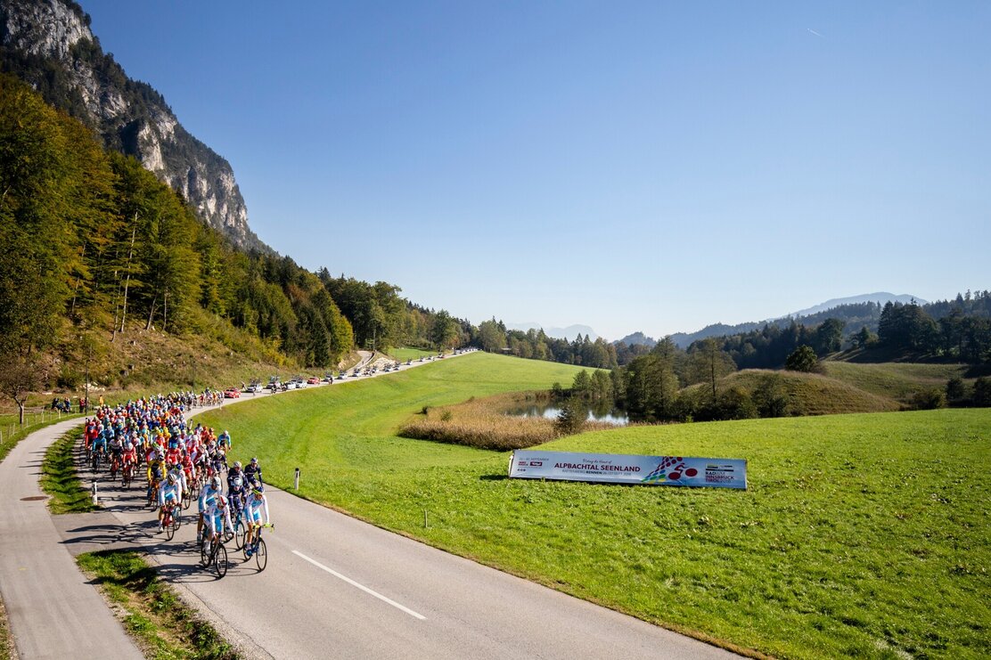
A challenging road-cycle-tour through the Alpbachtal & Tiroler Seenland region. This varied tour with great descents is far away from highly frequented transit routes.

Length 117.35 km
Duration 5:45 h
Altitude
2250 hm
2250 hm

Road bike tour 01 – Giro Alpbachtal

  • Distance 116 km
  • Elevation gain 2250 hm
  • Gradient 600 m 18 %, the rest up to 12 %
  • Best time early spring – late autumn
  • Grading very hard

Additional information

Bike & mountain bike shops


Author’s recommendation

Right-hand traffic in practice. Please obey the highway code, road safety and vehicle rules. Please bear this in mind you'll be sharing roads with traffic.


Safety guidelines

Right-hand traffic in practice. Please obey the highway code, road safety and vehicle rules. Please bear this in mind you'll be sharing roads with traffic.


Directions

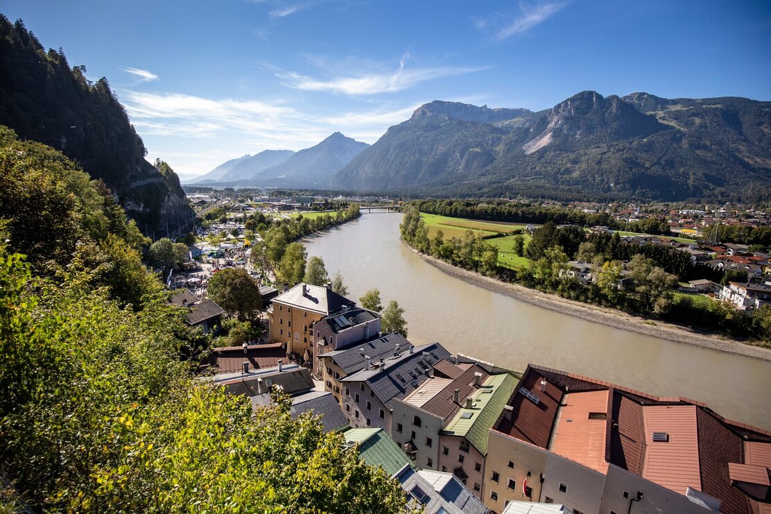
Rattenberg – Alpbach – Kerschbaum – Bruck – Brixlegg – Kramsach – Aschau – Pinegg – Brandenberg – Kramsach – Breitenbach - Angerberg – Angath – Wörgl - Rattenberg

  • 0 Km (from the start) start Rattenberg, Notburga fountain westwards to Brixlegg along the B 171, roundabout 3rd exit
  • 2,1 left Brixlegg, roundabout 2nd exit L 5 to Alpbach 1,4 km along the L 5, at Reith Nord towards the centre
  • 4,0 ! left ! Reith im Alpbachtal, turn-off turn left immediately after the archway after 450 m cross the L 5 take the first turn to the right and then the next left, continue for 860 m to Alpbach
  • 5,4 straight Bridge across the Alpbach River turn right after 750 m, continue along
  • 5,9 via the Scheffachberg, Naschberg and Außerland to Alpbach
  • 12 right Alpbach, L 46 junction 750 m along the L46, then turn right onto the L 5 5,1 km along the L 5 to Reith im Alpbachtal Return via Reith to Rattenberg
  • 17,9 ! left ! Reith, turn right towards Hygna after 1,3 km keep to theright, cycle a further 3,7 km to the Kerschbaumsattel
  • 22,9 straight Kerschbaumer Sattel, 2,4 km to Bruck/Säulinger Hof
  • 25,3 left Bruck/Säulinger Hof, turn-off 4,2 km to the „Panoramastraße“ direction Hart i. Zillertal
  • 29,5 straight Hart i. Zillertal, junction 1,4 km to Niederhart
  • 30,9 ! right! Turn-off on to the Ziller road 7,2 km to Bruck/Imming and in Bruck onto the B 171
  • 38,1 right B 171 junction 4,2 km to Brixlegg
  • 42,3 straight Brixlegg, roundabout 2nd exit turn left after 60 m to Münster turn left after 600 m and crossing a bridge and continue along the road
  • 44,1 right Kramsach Hagau, L 211 junction 1,53 km to a roundabout 2nd exit turn left after 60 m to Brandenberg follow the L 211 for 700 m
  • 46,4 left Turn-off to Aschau 9,5 km to Aschau
  • 55,9 right Aschau, L 4 junction 8,6 km along the L 4 to Brandenberg
  • 64,5 straight Brandenberg, church 6,7 km along the L 4 to Kramsach
  • 71,2 ! left ! Kramsach Achenrain 8,7 km along the L 211 to Breitenbach Breitenbach roundabout, Return via the Innradweg to Rattenberg
  • 79,9 straight Breitenbach, roundabout 2nd exit straight ahead after 460 m 4,3 km to Schönau turn right 2,37 km to Glatzham
  • 87,0 straight Breitenbach/Glatzham Cross the L 211 straight after 2,0 km turn left after a further 460 m left again continue for 2,6 km (crossing the L 211 after 500m)
  • 92,1 ! right! Embach, turn-off 2,5 km to Mariastein
  • 94,6 right Mariastein, turn-off 2,4 km to Baumgarten
  • 97,0 left Baumgarten, L 213 junction 2,7 km to Angath
  • 99,7 right Turn-off onto the Libhartstraße to Wörgl 1,8 km
  • 101,5 right Nordtangente Wörgl junction 2,5 km through the Gewerbepark 3rd exit at the roundabout, turn left after 400 m
  • 104,7 right Turn-off to Kundl after 550 m straight along the „Innradweg“ to Rattenberg
  • 116 finish Rattenberg

Author

Manuel Hufnagel


Round trip
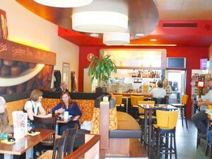
Rest stop
Details
Max. Altitude 1111
Start Rattenberg, town main square fountain
End Rattenberg, town main square fountain
Public access

Leave the motorway at the Kramsach/Alpbachtal exit, turn left towards Brixlegg/Rattenberg. Take the third roundabaout exit. Rattenbergs car parks are to the left and right after 400m (partly free of charge).

- or by bike https://radrouting.tirol/

Public transport

Verkehrsverbund Tirol

Train station nearby

Parking By train to Rattenberg train station, by car to one of the parking areas in Rattenberg (east or west).
Equipment

Helmet, sun glasses, gloves, rain proof clothing, bike outfit, first aid kit, replacement inner tube, tire lever, bike pump or cartridge, mobile phone, cash, bank card, drinking bottle, energy gel or bar, cap or bandana, leg and arm warmers.

In any case - adapted to the time of year.

37134886_1907405154.jpg | © Hannes Sautner 37134886_1907405154.jpg | © Hannes Sautner
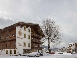
  • 35342903_856050934.jpg 35342903_856050934.jpg
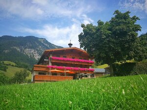
  • 37134773_2088208266.jpg | © Hannes Sautner 37134773_2088208266.jpg | © Hannes Sautner
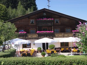
  • 37134774_308017586.jpg | © Hannes Sautner 37134774_308017586.jpg | © Hannes Sautner
01 03
Tips for you

Good to know

There's more!
Similar tours