Alpbachtal 24h hike 2024
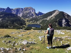
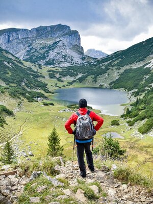
The route of the 24h hike 2024 is filled with real highlights: from 13th - 14th July, you will hike to the blue eye of the Rofan, a magical mountain lake past rustic alpine pastures and the rushing river. One beautiful summit follows the next.
The route of this year's Alpbachtal 24h hike begins in Kramsach, at the bottom station of the defunct Sonnwendjochbahn chair lift. The trail leads past the "Kaltes Wasserl" and Herrgottstein power spots towards the Ludoialm. Step by step, takes you closer to the blue eye of the Rofan, the magical mountain Lake Zirein. There route covers 1300 metres of altitude gain and approx. 10 km.
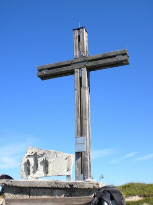
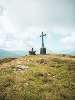
The next highlight is the Rosskogel peak, the highest point of the tour at 1,900 metres above sea level.
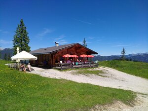
Then hike continues to Anderls Almhütte and via Wimm / Aschau to the Pinegg gorge in Brandenberg leading along the impressive Brandenberg Stream to the Tiefenbachklamm Jausenstation. From here, the route continues uphill towards the village of Brandenberg.
The next part of the hike takes you past beautiful corners of the village and you climb up to great peaks such as the Zimmerer-Kopf and the Voldöpper Spitze.
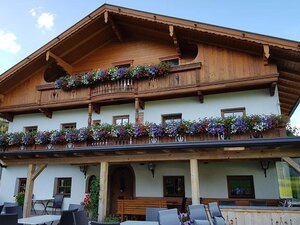
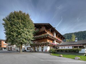
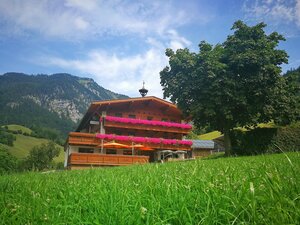
The last 5 kilometres take you back to the starting point in Kramsach or to the Jagdhof hotel.
FACTS:
- Start on Saturday, 13th July 2024 at 9:00 a.m.
- End on Sunday, 14th July 2024 at approx. 9:00 a.m.
- In total approx. 50 km and 2.700 elevation gain
- Hike in a group of a maximum of 130 people
- Lunch, dinner, breakfast included
- Experience the sunrise
Registrations taken on: https://www.alpbachtal.at/de/24hwanderung
- Lunch approx. 1:00 p.m./1h
- Dinner approx. 6:00/6:30 p.m./1h
- Midnight approx. 11:00/11:30 p.m./1 1/2h
- Sunrise 5:32 a.m. - sunrise breakfast
- Sunrise
Details
| Max. Altitude | 1938 |
| Start | Kramsach |
| End | Kramsach |
| Public access | Motorway A12 - exit Kramsach - turn right to Wittberg - parking lot defunct Sonnwendjochbahn |
| Public transport | By bus no. 611 or 603 |
| Parking | Parking lot defunct Sonnwendjochbahn |
| Equipment | Every hiker walks at their own risk! Comfortable hiking clothing, sturdy shoes, rain jacket, rain trousers, 2nd T-shirt, headlamp, cap, water bottle, hiking poles |


