Walking and hiking tours
Difficulty: difficult

Gratlspitze Hausberg loop trail

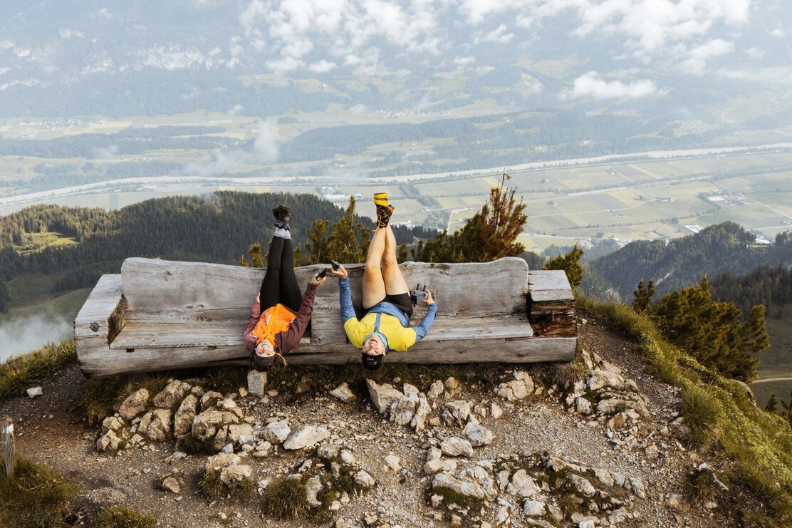
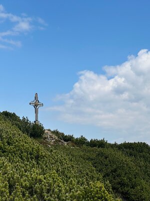
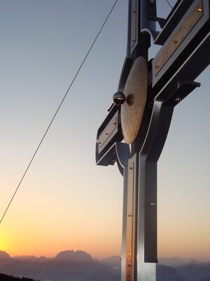
Tour to Gratlspitze with amazing views!

Length 8.52 km
Duration 5:00 h
Altitude
994 hm
994 hm

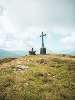
Starting at the hotel Böglerhof follow the uphill path and the signs to the "Gästewald". Continue on to the "Hausberg" farms. Upon reaching the chapel take the path to the left and continue on the steep uphill track to the peak. Descend via the "Hösljoch" on a path below the peak leading south/westwards. The undulating path leads over the saddle downhill (please note: surefootedness required) to the "Halsbergalm". At the next intersection follow the "Steinweg" signs. A panoramic trail leads to „Thierberg" and down to the "Thierberg" farms. Keep to the Lärchen path that merges with the path behind the hotel Böglerhof.


Additional information

Hotel Böglerhof - follow the uphill path and the signs to the "Gästewald" - continue on to the "Hausberg" farms - at the chapel take the path to the left and continue on the steep uphill track to the peak - descend via the "Hösljoch" on a path leading south/westwards below the peak - the undulating path leads over the saddle downhill (please note: surefootedness required)to the "Halsbergalm" - at the next intersection follow the "Steinweg" signs - a panoramic trail leads to „Thierberg" and down to the "Thierberg" farms - keep to the Lärchen path that merges with the path behind the hotel Böglerhof.


Author’s recommendation

Take sufficient to drink and a snack - as you won't find anything on route.


Safety guidelines

Surefootedness required!


Directions

Hotel Böglerhof - "Gästewald" bis zu den Höfen "Hausberg". Nach der Kapelle der Beschilderung "Gratlspitz" folgen und steil ansteigend zum Gipfel. Retourweg Richtung Süd/Ost der Beschilderung "Hösljoch" folgen bis zur Halsbergalm. Bei der nächsten Kreuzung abwärts der Beschilderung "Steinweg" folgen bis zur Kreuzung "Thierberg". Bergab zu den "Thierberghöfen" und ein Stück auf dem Lärchenweg bis zum bekannten Weg oberhalb des Böglerhofes.


Author

Alpbachtal Tourismus


Round trip
Details
Max. Altitude 1899
Start Alpbach
End Alpbach
Public access

A12 motorway, exit Kramsach/Brixlegg - towards Brixlegg, Alpbachtal - to Alpbach

Public transport

www.vvt.at, bus no. 4074

Parking

at the entrance to the village

Equipment

Sturdy shoes and protective clothing

36949837_823658130.jpg | © Gabriele Grießenböck 36949837_823658130.jpg | © Gabriele Grießenböck
  • 35261228_134906467.jpg 35261228_134906467.jpg
  • 37380320_697707019.jpg | © Gabriele Grießenböck 37380320_697707019.jpg | © Gabriele Grießenböck
01 02
Tips for you

Good to know

There's more!
Similar tours