Gratlspitze circular hike
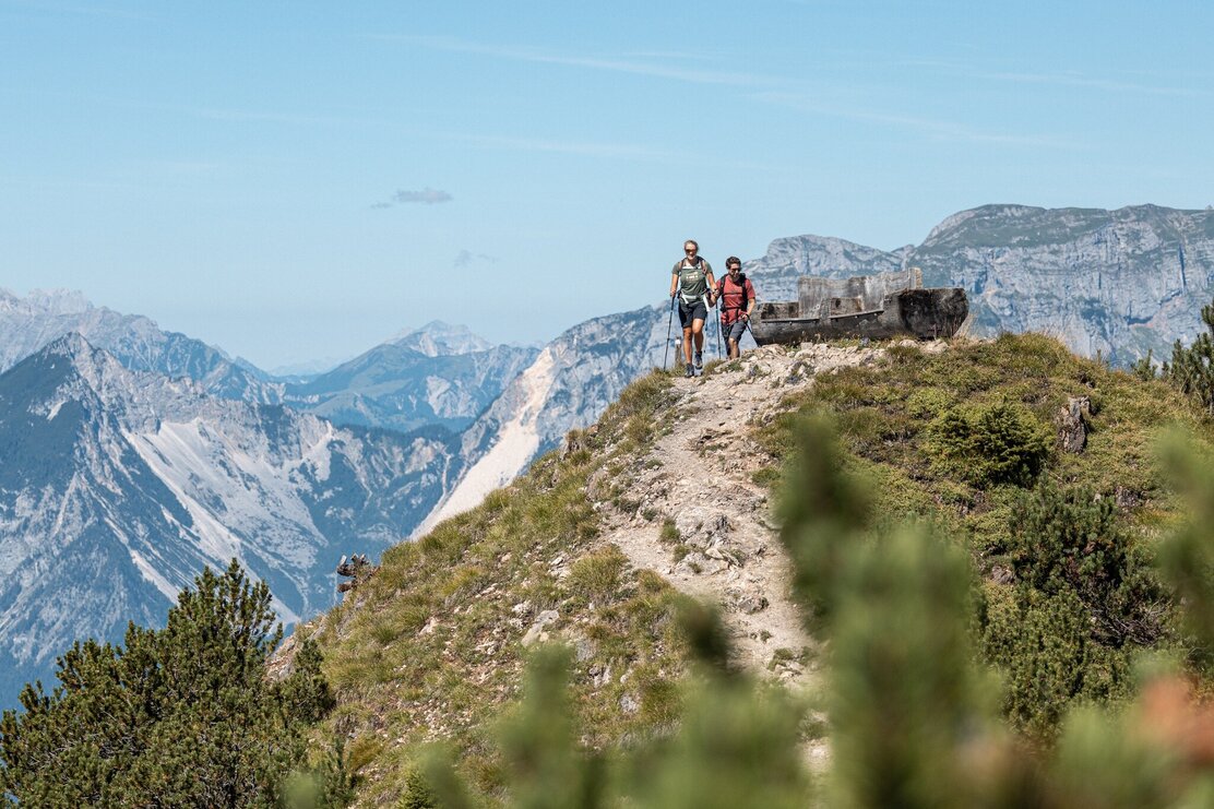
Challenging, varied mountain hike for sporty pleasure hikers.
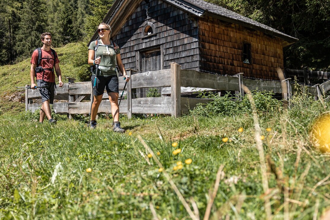
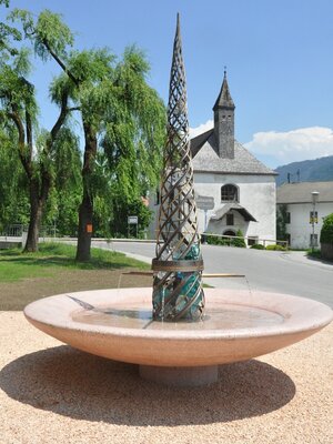
From the parking lot to the village center, pass the church on the left and immediately turn left towards "Thierberg"; now follow the stone path towards "Hösljoch" (approx. 1 h 30 min); after the chapel turn left, ascend partly steeply to Gratlspitze (approx. 2 h from Hösljoch)
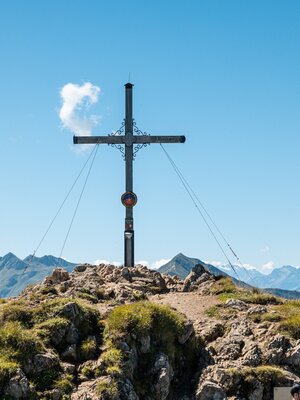
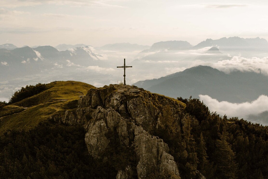
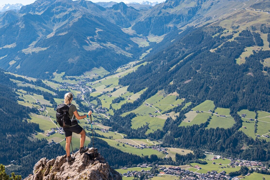
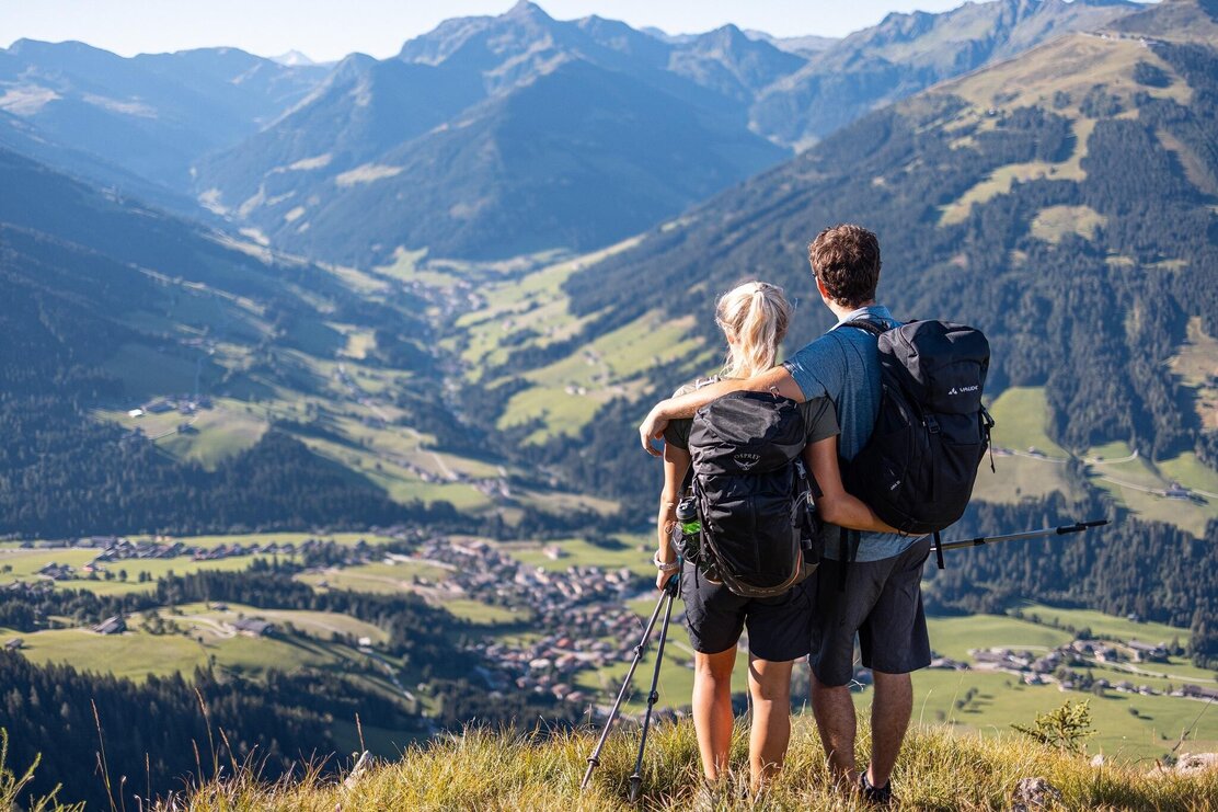
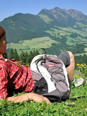
Here you can first enjoy the excellent panoramic view and our starting point lies at your feet!
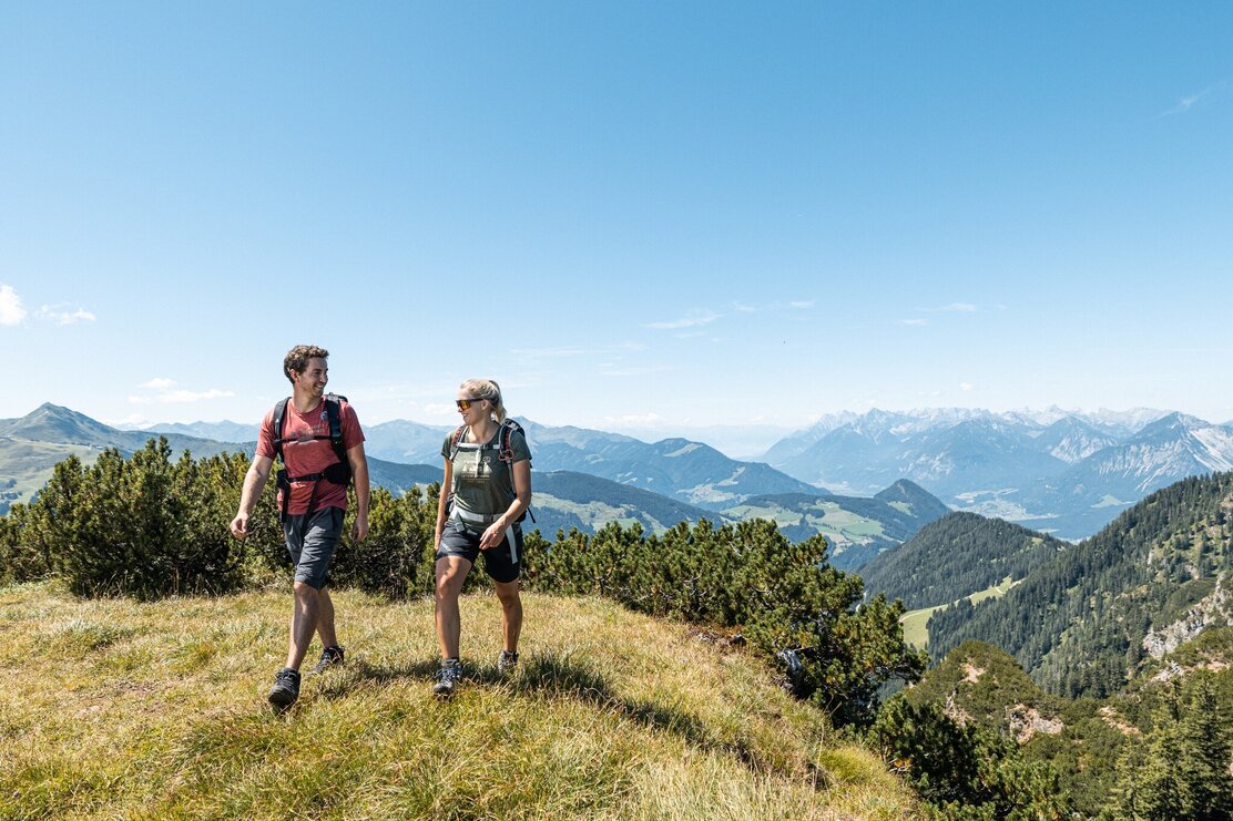
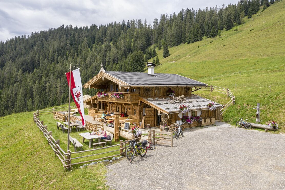
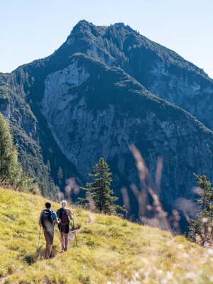
Then continue westward to Hochstrickl and Bischofer Joch, Bischofer Alm, from here immediately turn left onto hiking trail A6 and return in the direction of Hausberg to the starting point. Right on the way is the Almausschank Bischofer Käsalm.
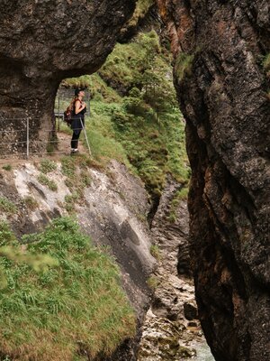
Warning: there are some exposed sections on the ridge and when descending to Bischofer Joch – surefootedness is absolutely necessary!
Details
| Max. Altitude | 1893 |
| Start | Alpbach village center |
| End | Alpbach village center |
| Public access | A12, Kramsach/Brixlegg highway exit, direction Brixlegg, direction Alpbachtal, to Alpbach village |
| Public transport | www.vvt.at/Linie: 620/Stop: Alpbach Raika or Böglerhof |
| Parking | in front of the village center in Alpbach at the fire department |
| Equipment | Warning: there are some exposed sections on the ridge and when descending to Bischofer Joch – surefootedness is absolutely necessary! Sturdy footwear and weather-appropriate clothing |
