Voldöpper Spitze Loop Hike
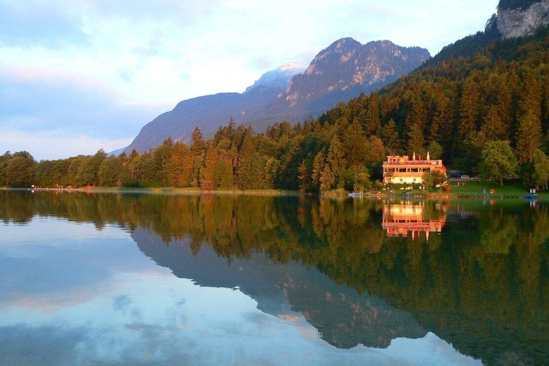
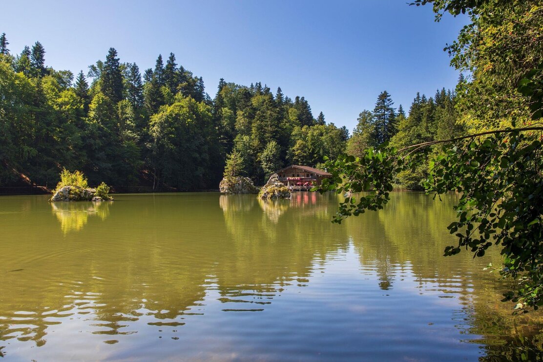
Demanding hike with significant elevation gain. From Kramsach to the Voldöpper Spitze. The descent leads via the Heumösernalm, Lake Berglstein, Lake Reintal back to the starting point.
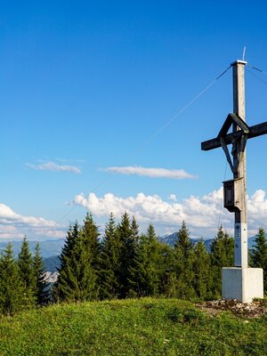
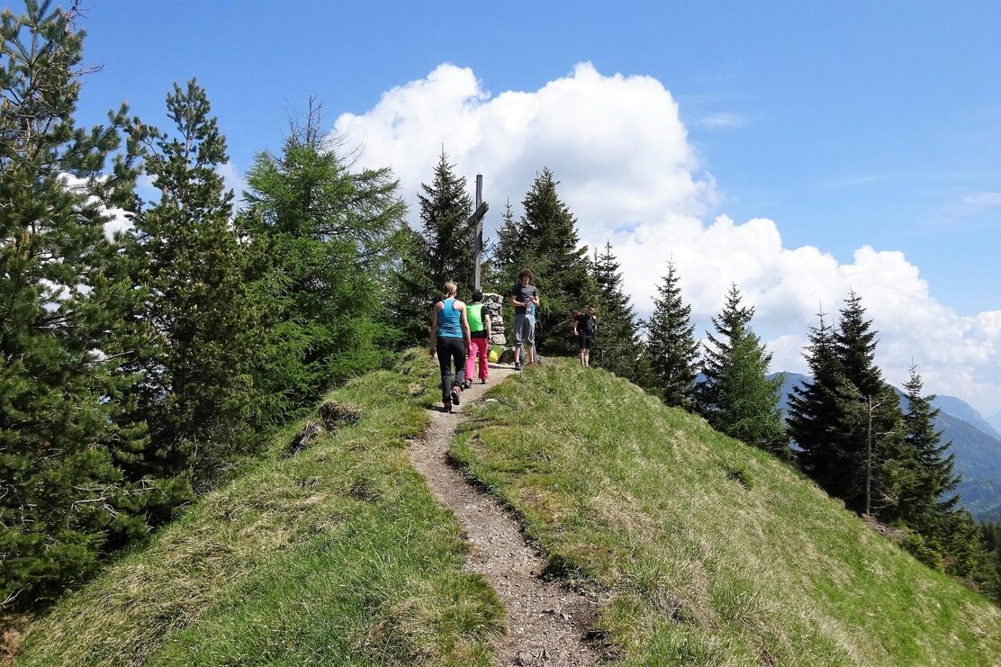
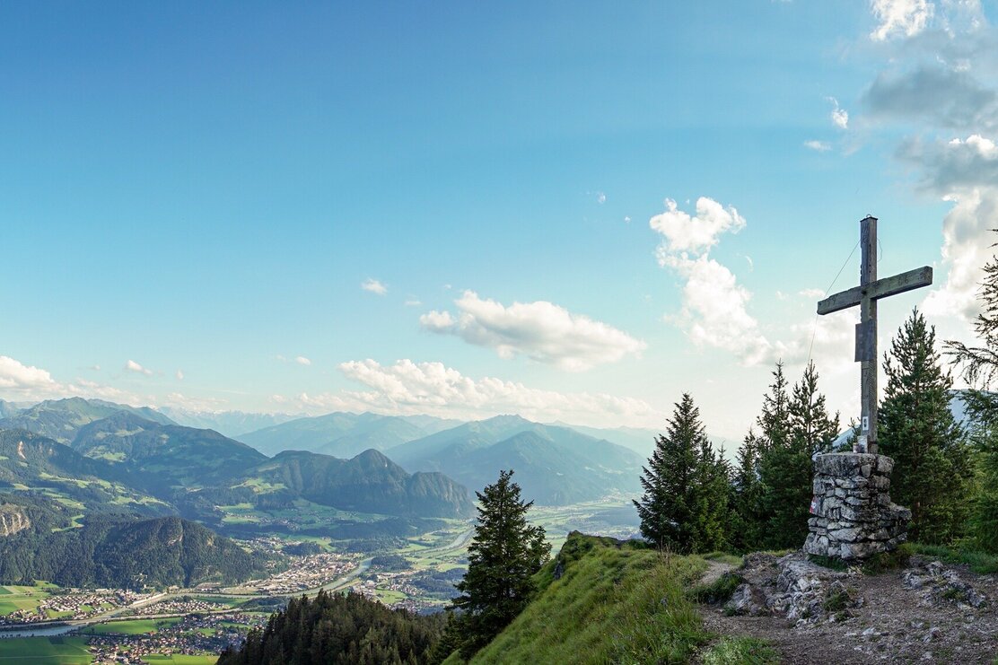
This challenging circular tour leads from Lake Reintal in Kramsach to the Voldöpper Spitze peak at 1,509 m. The beginning of the tour leads along a forest road and later merges into a steep path to the summit. Enjoy the excellent views. The Rofan Range to the west of the peak are particularly striking. The neighbouring peak in Brandenberg can easily be reached in a mere 5 minutes. After a leisurely rest and a snack, descend via the Heumösernalm and Lake Berglstein back to the Reintalersee.
Additional information
Parkgebühr
Author’s recommendation
- Take sufficient to eat and drink with you!
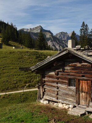
- The small hut below the peak is an ideal spot to take a break.
- Please note, up to Lake Reintal there is nowhere to buy water or refill your water bottle!
- A shorter variant to the Voldöpper Spitze starts from Brandenberg. > Tour details!
- In between seasons (autumn and spring) we recommend the longer variant from Kramsach, as there is often still/already snow on the Brandenberg side of the trail.
Directions
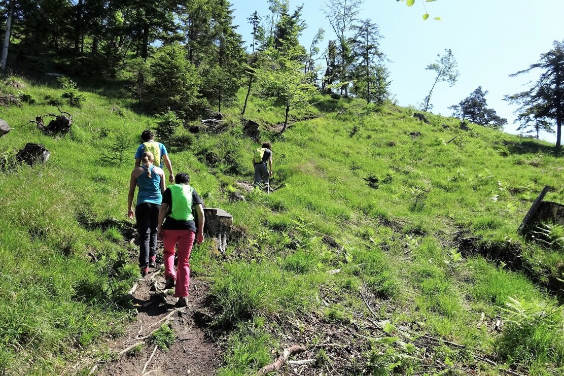
From the car park walk along the pavement in a westerly (Lake Krumm) direction. To the right of the camp site follow the signs for "Voldöpper Spitze" initially along a forest track and then along a footpath to the peak.
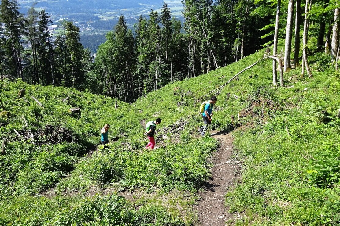
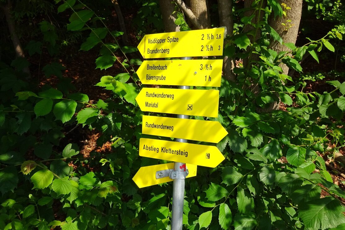
For the descent take the path leading towards Brandenberg. After approx. 10 min one reaches a small hut, an ideal spot to take a well-earned break and have something to eat and drink. At the next intersection follow the signs for "Brandenberg Abkürzung" (short cut). Continue downhill crossing a forest track and stay on the trail until the next intersection. Stay on the trail and follow the signs for "Breitenbach".
After a short stretch one reaches the Heumösern" intersection. Many yellow signs show various ways to Breitenbach. Along a short flat stretch the path leads to the next hut where one takes the right hand path leading downhill. Cross the forest track and continue downhill. At the next intersection follow the gravel track downhill and the signs for "Breitenbach" and "Berglsteinersee". At the "Kruckenhauser" pond stay on the tarmacked road for a short stretch uphill to the Salberhof and then downhill to Lake Berglstein. Follow the signs for "Kramsach Reintaler See". At the car park cross the main road and walk along the lake shore path in a westerly direction back to the starting point.
Author
Alpbachtal Tourismus
Details
Max. Altitude | 1509 |
Start | Kramsach, Lake Reintal car park West |
End | Kramsach, Lake Reintal car park West |
Public access | A12, motorway exit Kramsach, towards Kramsach, lakes |
Public transport |
Bus no. 4113 |
Parking | Kramsach, Lake Reintal car park West |
Equipment | Sturdy footwear and suitable clothing |