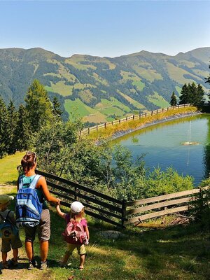
Walking and hiking tours
Difficulty: Easy
Wasserwanderweg (Water Walk)
Charming loop trail past lakes, fountains, castles and many other spots with water topics
Length
8.64 km
Duration
2:45 h
Altitude
222 hm
222 hm
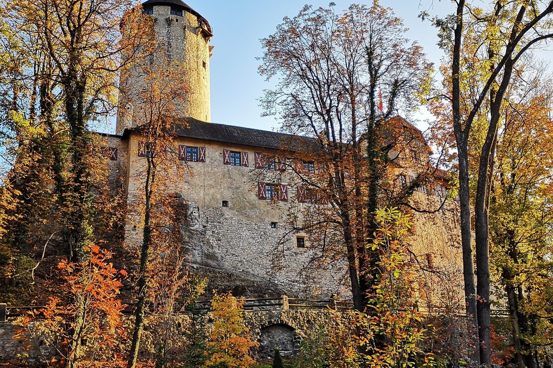
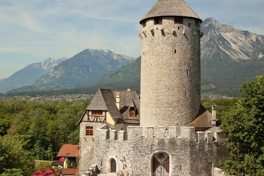
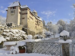
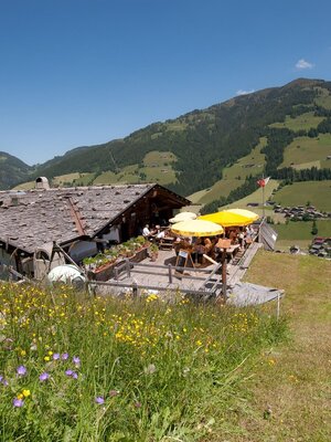
Immerse yourself in Tyrol's history and discover impressive places with interesting pasts along the water walk. Along the circular hiking trail you will find 31 notice boards with interesting information about the historical places of the region. In addition, there are also some venues where you can stop for something to eat and drink. There are also several children's playgrounds along the route. Basically, the WasserWanderWeg is designed to be accessed at any point. Each station has its own "story", independent of the others and yet the WasserWanderWeg (www) forms a whole. The old house at the so-called Kramstollen (mining tunnel), for example, is a reminder of the thousands of years of mining activity on the Groß- and Kleinkogel. In prehistoric times copper was mined here. Or let your imagination run wild at Lichtwerth Castle and imagine how the castle once stood on an island. Surrounded by Matzen Castle, Neumatzen Castle (Lipperheide), Lichtwerth Castle and the Kropfsberg ruins, the picturesque Matzen Park is one of the most beautiful and important cultural landscapes in the Tyrol. Gut Matzen’s northern wall is adorned with various Coat of Arms documenting the past lords of the manor and their rule. But these are just some of the highlights along the way!
Directions
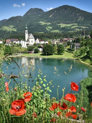
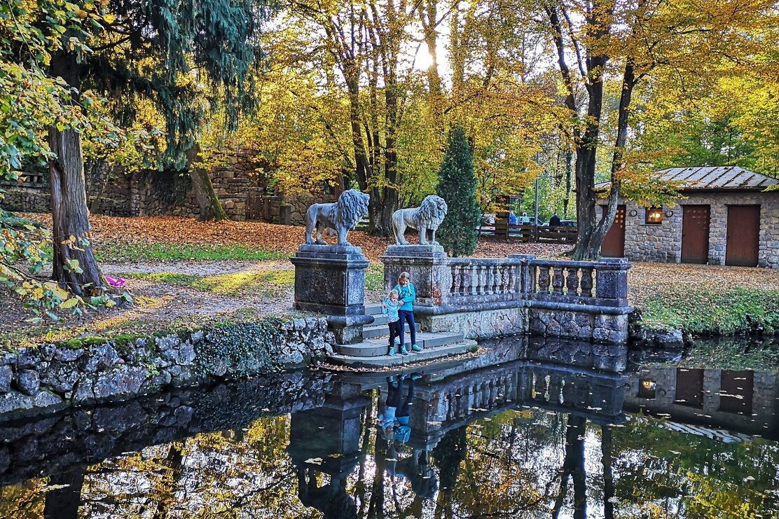
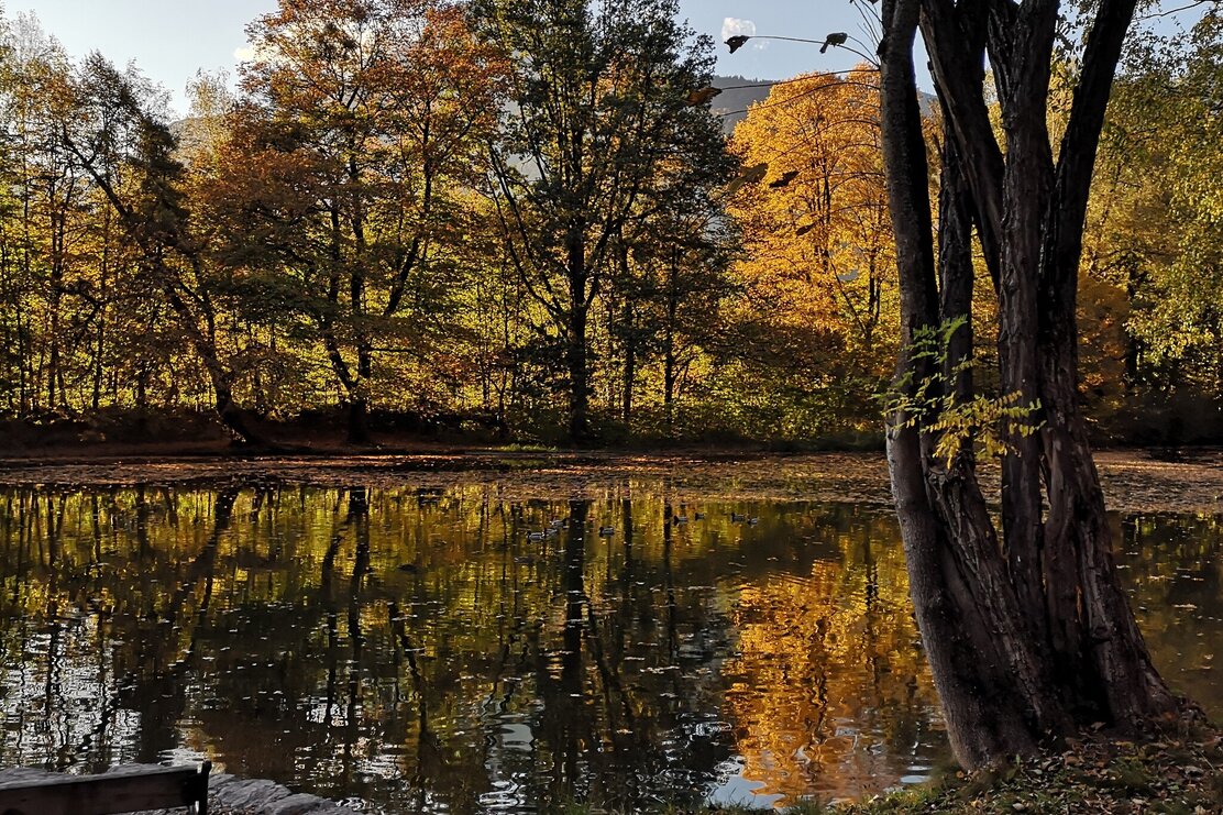
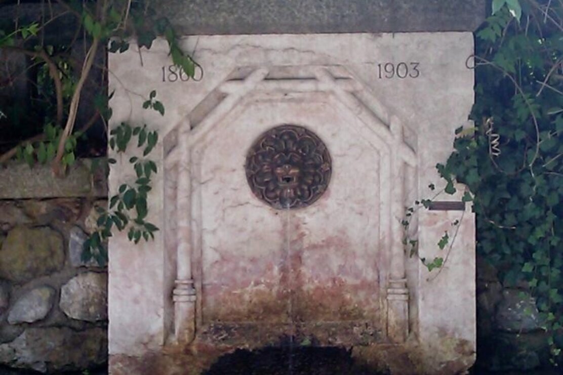
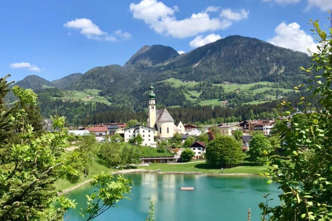
The route starts where earthly life begins for most people - at least in the Tyrol: at baptism. From the baptismal font (1) in the Reith parish church walk to the village square and its fountain (2), between the parish house and Metzgerei (butchers) Wimpissinger. The path leads to the panorama path at Reith lake (3/4) and to the municipal road. Turn right and walk as far as the Kinderpark (children's park). Continue down to the Hotel Sonnwend, where from the edge of the woods one can see the "Eglsee" (5). Return to the municipal road, turn left and take the path uphill through the Kinderpark . At the end of the path follow the signs for Ried and to the "Hub" chapel. Take the path to the right behind the chapel via the "Geyer" Stream (6), the Kupfererz path and straight ahead to the "Berghaus" (7), further to the Kring Stream (8) and bearing left, to the Petersbründl (9). From the Petersbründl backtrack a few metres and follow the forest path. Below the barn one can see a water reservoir (10). Walk downhill along the road and keep left towards the "Schotterfang" (11) and fish pond (12), past the playground to the church of St. Gertraudi (13/14), the narrow path to the Kammerlander inn (15), along the municipal road until shortly after the last house where a path leads uphill on the right. Keep to the right. Before entering the forest, you will see the Alpquell mineral water factory (16), following a short stretch through the woods you will reach a little stream (17), the new path towards Brandhof/Matzenpark. After the Brandhof, the "Lipperheide" fountain (18) is on the right. Downhill - through the forest you see Lichtwehr Castle (19) and when you reach the main road you are already greeted by Lipperheide Castle (20). Now take a short detour into the park to the Löwen pond (lion statues) (21), bear right to the "Fischkalter" (fish basin) (22), to the left is the "Nymphäum" (23) and the "Schlossteich" (castle pond) (24) at Gut Matzen. Continue hiking along Matzen Park's southern perimeter along the Neunerbichl (25) towards Brixlegg to the Sigwart fountain (26). Cross the Alpbachtal Landesstrasse to the Alpbach bridge (27) and take the small lane to the right (28) in front of the tobacconist's (large tree!). Continue, past the Mining and Metallurgy Museum, cross the bridge and take the left via Badgasse to the power station (29) and to Bad Mehrn (30). After visiting the church of St. Bartholomew (31), cross the bridge straight on towrads the Landgasthof Hanslwirt, just before it on the left is the old plague cemetery. Now head towards Bischofsbrunn to the fountain of the same name (32). In Bischofsbrunn turn right uphill towards Reith. Cross the main road and continue straight on past the fountain of "Meierhofen" (33) towards the parish church (= starting point and end of the hike).
Author
Alpbachtal Tourismus
Additional information
The Wasserwanderweg (Water Walk) in Reith i. A. offers the opportunity to consciously experience the diverse element of water. You will find lots of interesting information along the route with numerous fountains, lakes and streams, each of them have a story to tell. Water a companion through and a symbol of life.
Author’s recommendation
The WasserWanderWeg is designed to be accessed at any point or rather walk certain segments only. Parking is available at the Reith lift parking lot, at Gasthof Kammerlander in St. Gertraudi, in Matzen Park or in Brixlegg at the roundabout. There are several inns and places to stop along the way. Children's playgrounds: Alpbachtaler Kinderpark, playground in Sankt Gertraudi, playground in Matzen Park as well as at the lake in Reith. Matzen Park with its shady trees is an ideal spot for a break.
Round trip
Rest stop
Family friendly
Details
Max. Altitude | 688 |
Start | Reith im Alpbachtal village centre |
End | Reith im Alpbachtal village centre |
Public access | A12, motorway exit Kramsach/Brixlegg, towards Brixlegg, Alpbachtal, to Reith im Alpbachtal |
Public transport | www.vvt.at |
Parking | Reitherkogelbahn car park |
Equipment | Sturdy footwear and suitable clothing |


Tips for you
Good to know
There's more!